Get PeakVisor App
Sign In
Search by GPS coordinates
- Latitude
- ° ' ''
- Longitude
- ° ' ''
- Units of Length

Yes
Cancel
❤ Wishlist ×
Choose
Delete
Batangas is a first-class province of the Republic of the Philippines near the equator. The province has just 72 named mountains; generally, the terrain is more rolling and hilly than mountainous, with about half of its land area having a grade of less than 15º. The tallest mountain is a tri-summited, dormant volcano called Makiling Peak 3, which reaches 1,100 m (3,609 ft) at its highest point. Batangas and the roughly 7,640 islands of the Philippines are part of the Ring of Fire, a notoriously active string of volcanic and seismic locations in the Pacific Ocean. In terms of prominence, Mount Lobo, at 975 m (3,195 ft), leads the way with 851 m (2792 ft) of vertical relief, along with a far-away, remote feel that makes it a local favorite for solitude and fitness training.
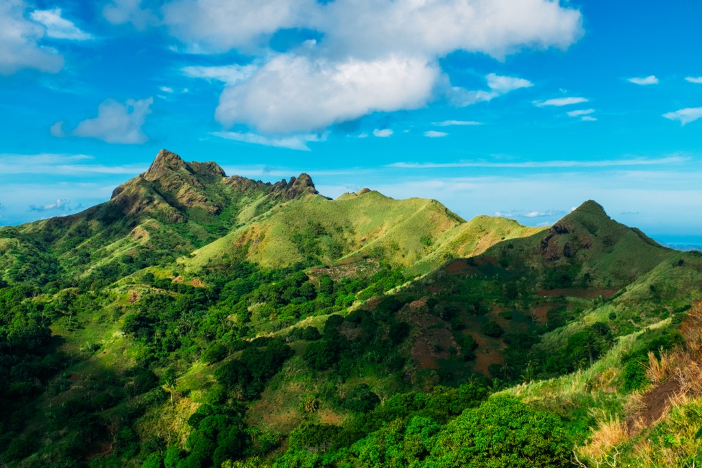
At 3,115.05 km2 (1,202.73 sq mi), Batangas is the 44th largest province in the country (out of 82). According to the 2020 census, it had a population of 2,908,494, which accounts for a paltry 2.67% of the country's total inhabitants.
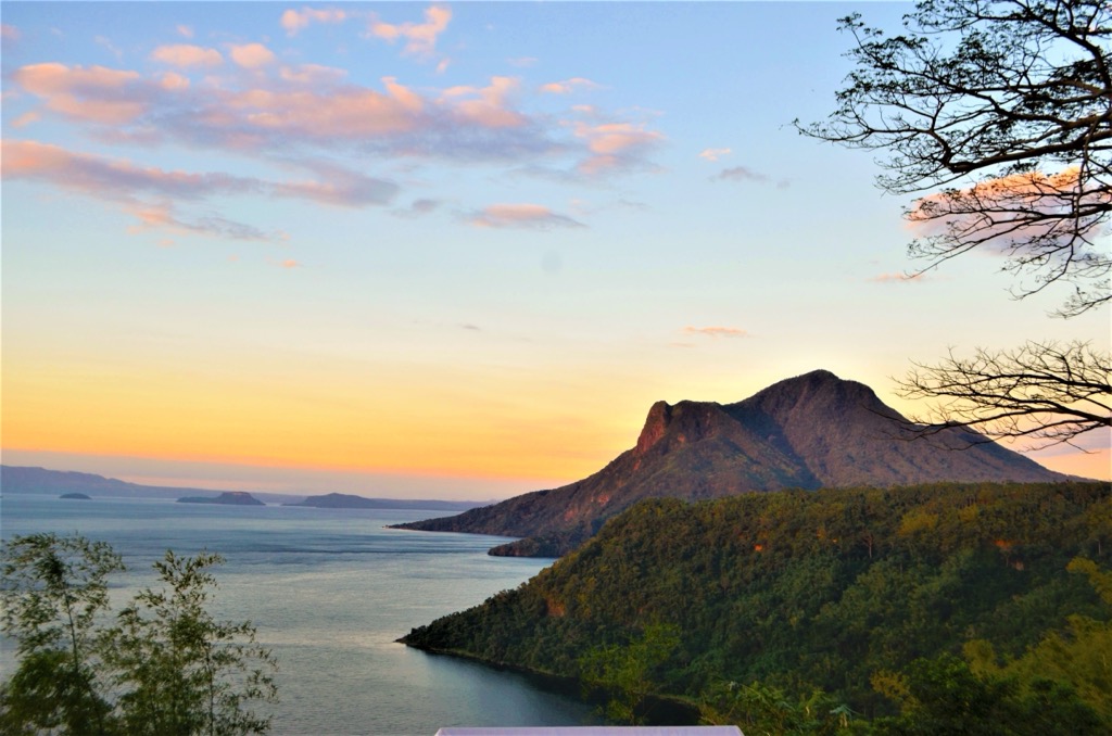
Batangas shares several national borders, including the provinces of Cavite and Laguna to the north and Quezon to the east. To the west of Batangas, stretching from the northern tip of Luzon to the southern region of Palawan is the West Philippine Sea, which is technically part of the South China Sea. The capital city of Batangas City is a key shipping and industrial hub, located south of Metro Manila, in the south-central part of the province, adjacent to Balayan Bay.
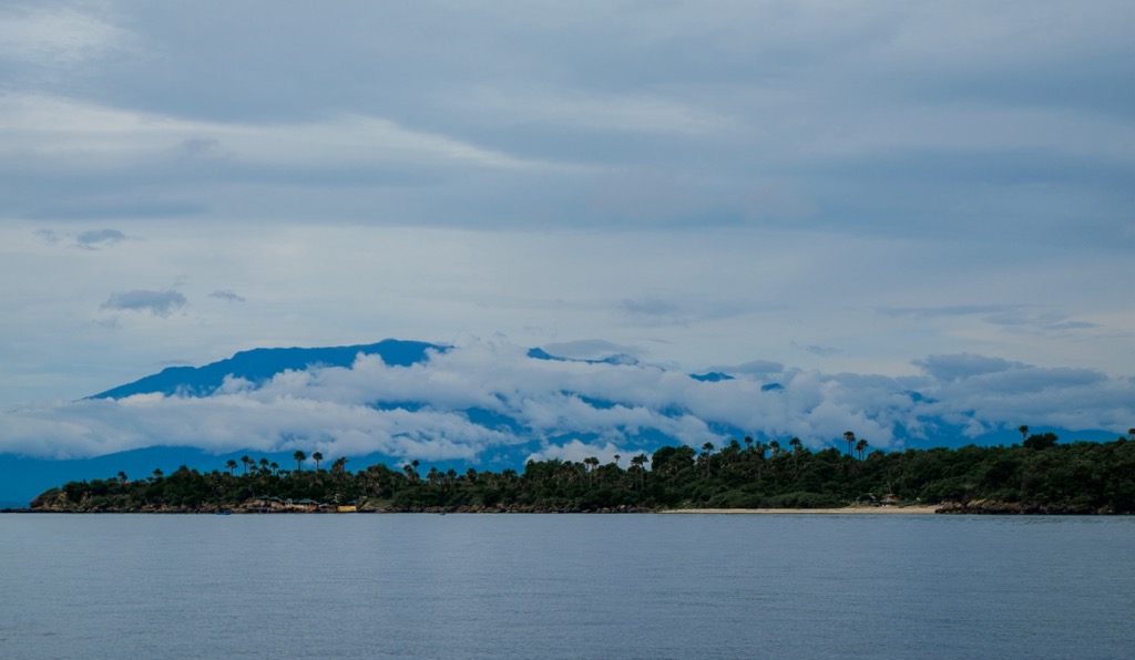
The terrain and landscape of Batangas vary wildly, but natural beauty is abundant throughout the province. The environment ranges from rugged shorelines, pristine beaches, rolling grasslands, and sometimes-impenetrable mangrove forests, to lofty ridges cloaked in dense vegetation and down to the depths of the deepest volcanic caldera. What the province lacks in total size, it makes up for in its diversity,
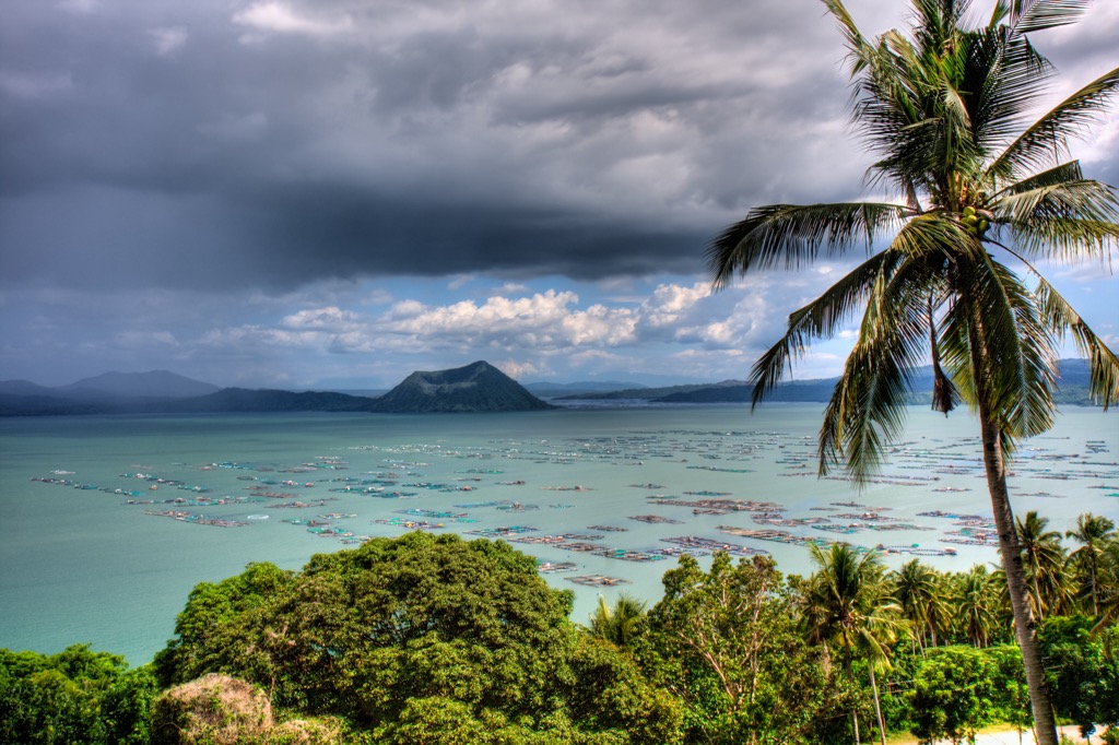
Mount Taal, also known as the Taal Volcano, tops out at an elevation of barely 311 meters (1,020 feet) yet still rises from the center of Taal Lake in spectacular fashion. It is the lone active volcano in Batangas and is known for frequent eruptions that violently spew ash and pyroclastic flow. It’s also the 2nd most active volcano in the Philippines and the 7th most active globally.
Mount Taal is designated as a “Decade Volcano,” meaning it has been deemed worthy of additional study thanks to its history as a repeat offender and proximity to Manila, which is just 50 kilometers (31 mi) to the north. There are also several extinct volcanoes in the province, including Mount Makiling, Mount Maculot, and Mount Banoy.
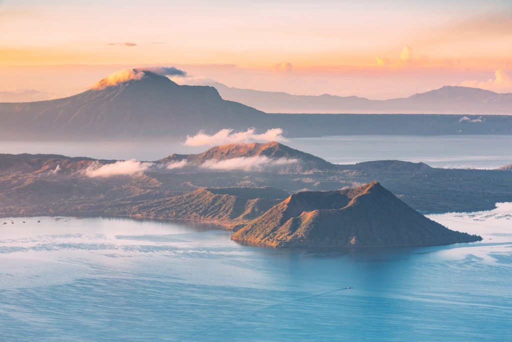
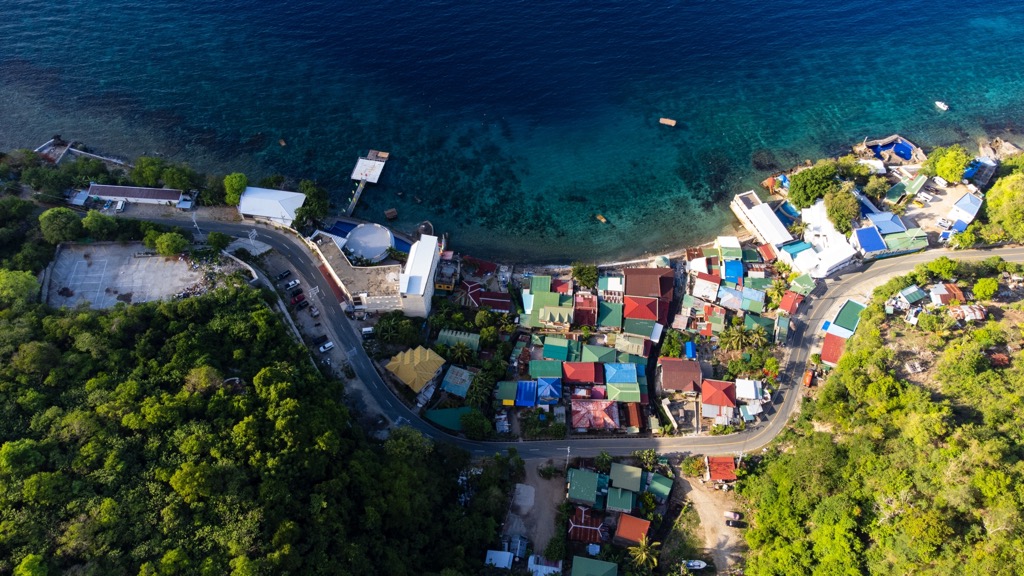
With more than 492 km (306 mi) of coastline surrounding the province, you are never too far from secret coves protecting white sand beaches, vibrant marine life, scuba diving, kayaking, and traditional fishing villages. While nearly all of the coastline is quite picturesque, the areas along the West Philippine Sea are particularly well-loved.
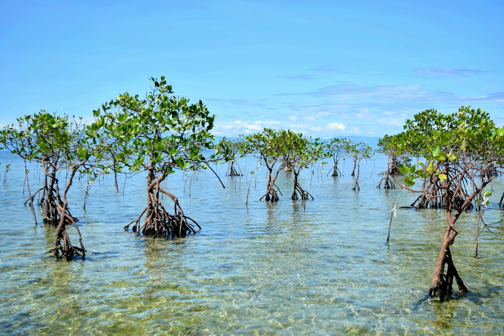
Laiya Beach: Located in San Juan, Laya Beach is a tropical paradise with fine white sand beaches, crystal clear turquoise waters, and colorful marine life.
Calatagan: A serene coastal destination and site of the hundred-year-old Cape Santiago lighthouse.
Anilao: Located in the biodiversity hotspot of the Verde Island Passage, adventurers flock here for 50+ renowned dive sites, including Cathedral Rock, Twin Rocks, and Secret Bay.
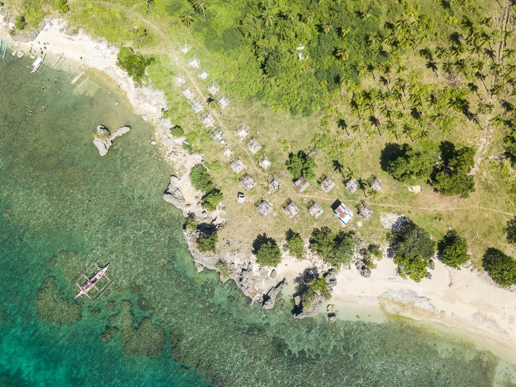
Thanks to its volcanic heritage, the central part of the province is highly fertile, with rich soil that supports its fair share of agriculture, primarily, coffee, sugarcane, coconuts, mangoes, and bananas. Rolling grasslands at the foothills of Mount Batulao and Mount Talamitam provide a visual contrast to the stark beauty of the otherwise desolate volcanic terrain.
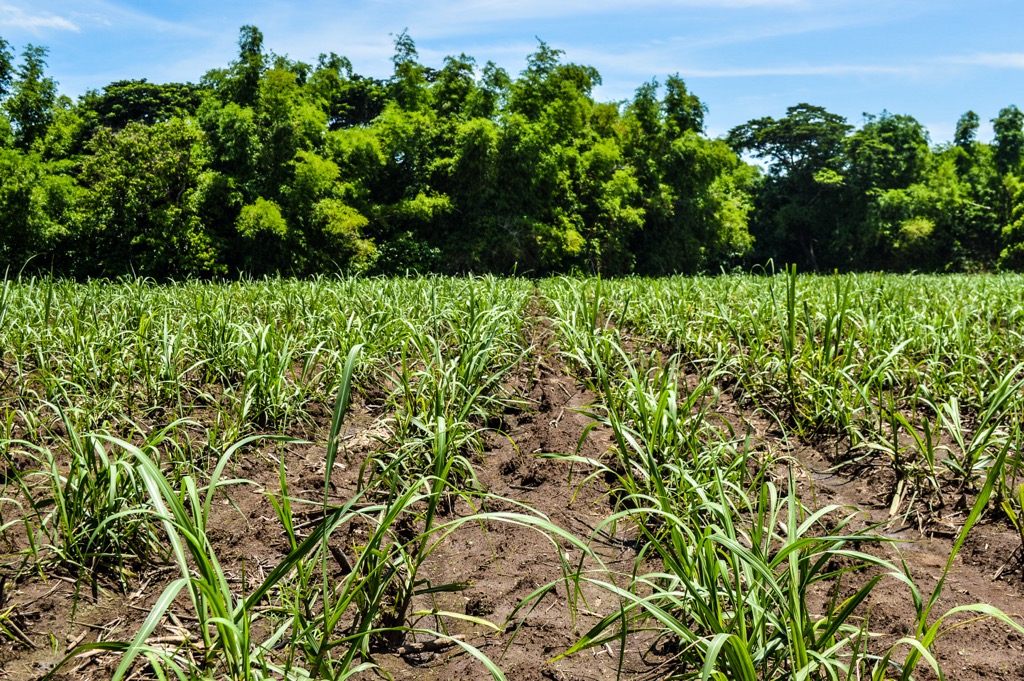
Batangas is famous for its extensive tropical hardwood forests, mangroves, and fruit trees. While about 48% of the province is forested, that number is gradually declining due to a lack of conservation efforts. In 2023, the region lost 90 ha (222.3945 acres) of natural forest according to Global Forest Watch.
If you are planning a trip to Batangas, there are several reputable websites to peruse in the months and weeks leading up to your journey. Some of the most informative and accurate include www.batangascity.gov.ph/web/tourism-profile and www.batangas.gov.ph/portal/tourism/.
However, once you arrive and step foot in the province, it’s always recommended that international tourists stop by at least one of the official tourist offices for the most reliable and up-to-date information and trip planning. This is more important in Batangas than in some other locations for the simple fact that there is an active volcano with frequent eruptions that could impact your trip and limit your travel or adventures.
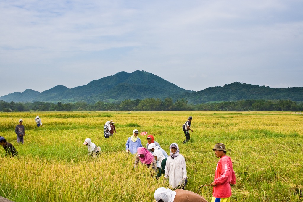
Stopping by one or both of the following offices in the capital of Batangas City is a great start:
Provincial Government of Batangas - Provincial Information Office
Provincial Capitol Building, Batangas City, 4200, Batangas
Phone: (043) 723-4651
Batangas Tourism Website
Batangas City Hall Complex, P. Burgos Street, Barangay 17, Batangas City, Batangas
Phone: +63 (043) 723-1511
The province of Batangas falls within an especially active zone for tectonic and volcanic processes. It lies near the boundary of the Philippine Sea Plate and the Eurasian Plate, and close to the West Valley Fault, which is part of the larger Phillippine Fault Zone. To make matters worse, Batangas is also within the Pacific Ring of Fire. As a result of its unique position, the movement of tectonic plates will often instigate a volcanic eruption; inversely, the movement of magma underground can cause an earthquake, creating a “perfect storm” of destruction.
The Philippine Fault Zone is the primary tectonic feature responsible for the formation of the rugged mountains in Batangas. This strike-strip fault system allows horizontal movement between the Philippine Sea Plate and the Eurasian Plate that uplifted the land to form Mount Lobo and Mount Pinamucan.
The Pacific Ring of Fire is a horseshoe-shaped zone that stretches 40,000 km (25,000 miles) around the Pacific tectonic plate, accounting for 75% of the world’s active volcanoes and 90% of its earthquakes.
In April 2017, the fault was responsible for back-to-back earthquakes of 5.7 and 6.0 magnitudes, along with numerous ongoing aftershocks, collectively known as an earthquake swarm. Somehow, there were no reported fatalities, but the destruction was widespread, particularly in the epicenters of Mabini, Tingloy, and surrounding areas, where landslides and ground fissures resulted in collapsed buildings and hundred-year-old walls crumbling.
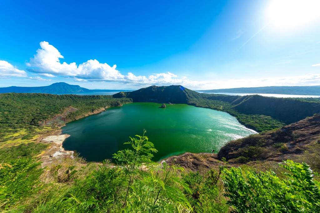
About 30 km from Metro Manilla, you’ll find the relatively remote town of Lobo, which has six main peaks that constitute this mini-range. These peaks rise close to the coast and are characterized by rolling hills and cliffs, as well as extensive mangrove forests. Since none of the peaks are especially tall or technically challenging, they can all be climbed individually as day hikes with the potential for link-ups on multi-day trips.
Mount Lobo
One of the lesser-known peaks in the southern part of the province, Mount Lobo stands at just 974 m (3,195 ft) but offers incredible vistas of the Verde Island Passage. Along with its scenic beauty and diverse wildlife, it’s one of the best mountains if you’re seeking peace, as it’s at least a 4-hour drive from the city.
Mt Banoi
At 960 m (3,149 ft) Mt Banoi is a spiritual location for locals and is an important watershed for Batangas City and other nearby towns. As an adventure, the moderate to steep slopes make it an excellent choice for a family hike or nature walk, with a lovely forested trail and plenty of birdlife, such as kingfishers and brahminy kites.
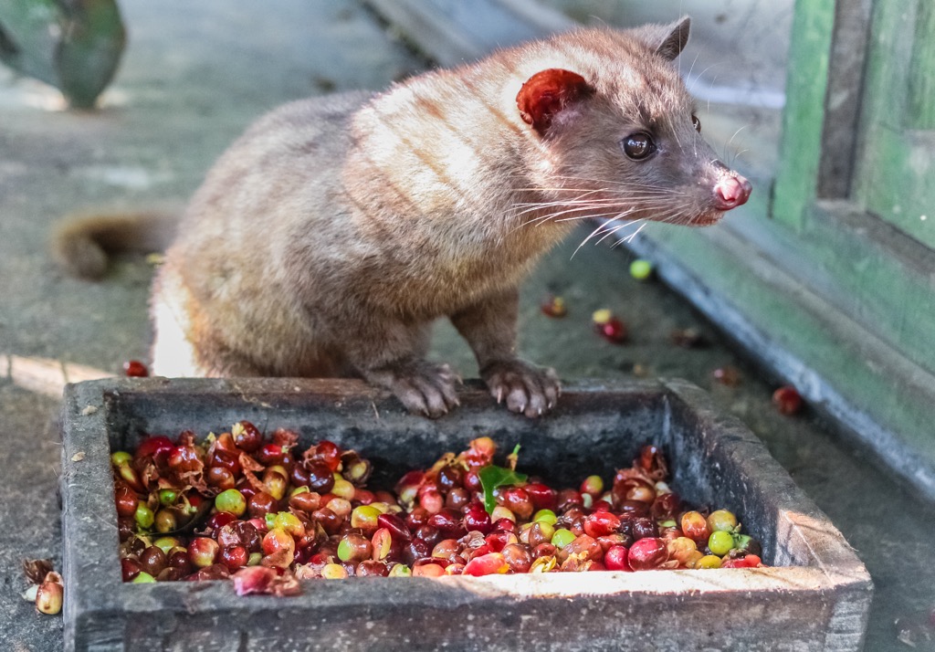
Located in 3 different provinces, including Batangas, Laguna, and Quezon, the Malepunyo Range features the tri-summits of Mt. Malepunyo, Bagwis Peak, and Mount Dalaga. Part of a long-dormant volcanic arc, the range is probably most famous for its Kopi luwak, also known as Alamid Coffee. A local delicacy, these are coffee beans fermented inside the digestive system of civet cats and excreted and harvested from the forest trails. There is debate in the greater coffee world over the true taste benefits of this strange brew.
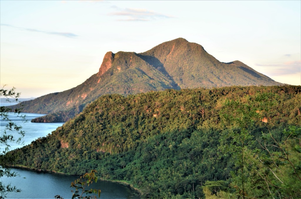
The Taal Volcano is a caldera formed by prehistoric eruptions between 140,000 and 5,380 BP. With 38 historically recorded eruptions, it ranks as the second most active volcano in the Philippines. Notably, the 1754 eruption lasted about seven months. All told, throughout its long, violent history, at least 6,000 people have lost their lives to this single volcano, with the 1911 eruption being particularly deadly, killing over 1,300 people. In 2024 alone, at least eight minor eruptions were reported, including activity on October 2, 2024, which sent up a plume up to 2,400 m (7,874 ft) high.
This dormant volcano with its tri-summits, marks the highest point in the province at 1,086 m (3,563 ft) and is located on the border between Batangas and Laguna provinces. Designated as a Forest Preserve and Protected landscape, the Makiling peaks stand out for their impressive endemic wildlife, mud pools and hot springs, and tropical rainforests.
In Philippine folklore, a mythical guardian named Mariang Makiling embodies the spirit of the volcano mountain and is known to punish those who destroy the timber or wildlife. Some locals say that with a keen eye, one can make out her silhouette, which resembles a reclining woman along the ridge.
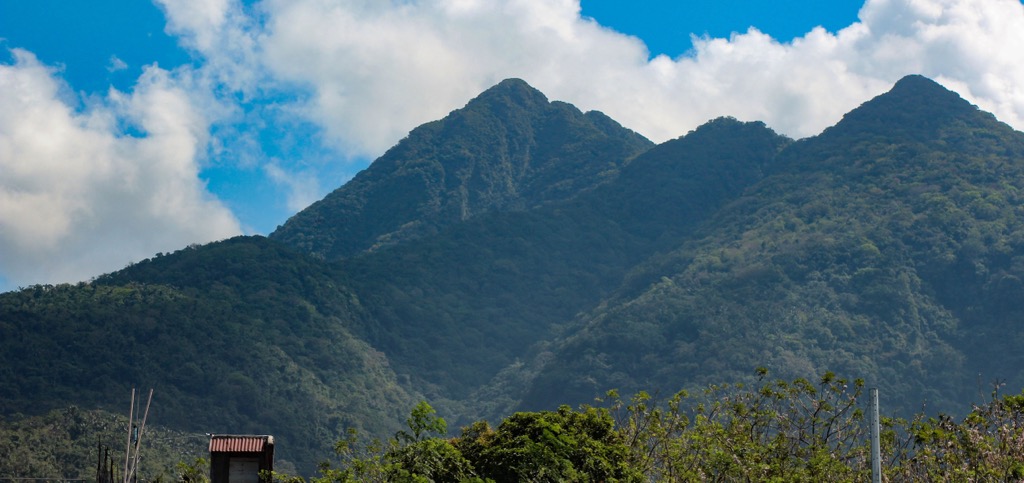
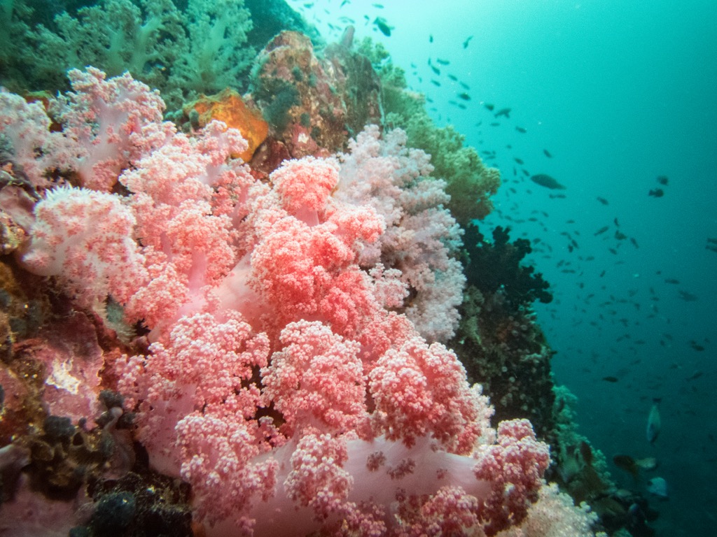
Positioned at latitude 13°55' North, Batangas is located just north of the equator and, like many tropical zones, is remarkably diverse, including 300 different species of coral, many endemic fish species, and countless rare and endangered species that call the forests, coastal areas, marine environments, volcanic landscapes, and agricultural lands home.
Thanks to its tropical monsoon climate, Batangas is warm year-round, with an average temperature of 25°C to 32°C (77°F to 89.6°F). May is the hottest month, while February is the coolest. There are two well-defined seasons: the wet season, which runs from June to November due to the influence of the southwest monsoon, and the dry season, which runs from December to May. Annual rainfall averages 1,600 to 2,500 mm (64 to 100 inches).
While the entire province of Batangas is a haven for native and often endemic terrestrial and marine wildlife, as well as an incredible array of flora that thrives on rich volcanic soil and favorable climate, one area stands out among the rest:
The Verde Island Passage is a strait between the southern coast of Batangas and Mindoro Island known as the “Center of the Center of Marine Biodiversity.” It hosts the single richest marine ecosystem on the planet, making it a popular destination for divers, fishing, marine biologists, researchers, and tourists. Several zones within the Verde Island Passage are restricted as marine protected areas to protect its fragile biodiversity hotspot.
Batangas's tropical climate and volcanic soil make for ideal growing conditions well-suited to a wide range of flora. Tropical hardwood forests, including narra, mahogany, and kamagong, are common in the mountainous regions. Along the coastline, hearty mangrove and coconut trees share the sandy, salty, and generally brackish growing conditions with beach vegetation including Pandan, Talisay, and Morning Glory, as well as seagrasses like wild sugarcane.
The rugged, dramatic landscapes of Barangas make the ideal natural habitat for a fascinating array of terrestrial, arian, and marine wildlife. Unfortunately, illegal hunting, coastal development, deforestation, and other environmental burdens have taken their toll. Native species such as the Philippine Long-Tailed Macaque, Philippine Deer, Golden-Crowned Flying Fox, civets, and the elusive Philippine Warty Pig are now threatened or endangered.
Narra: The national tree of the Philippines, the Narra tree thrives in lowland forests and prefers warm, humid climates. It’s valued for its durable hardwood used in furniture as well as in traditional medicine for the treatment of skin ailments, diarrhea, and urinary problems. Over the years, these beauties have been overexploited for timber to the point that they are now endangered in the wild and considered a protected species.
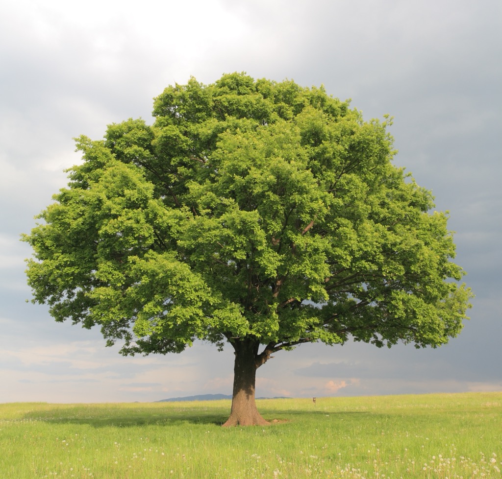
Molave: Native hardwood known for superior strength and resilience.
Kamagong: Prized for its dark, dense wood, also known as Philippine Ebony, the species prefers tropical lowland forests, and thrives in warm, humid climates.
Banaba: Also called the Giant Crape Myrtle, the leaves, bark, and flowers of the tropical tree are known for their medicinal properties and pungent purple flowers.
Meanwhile, Green sea turtles, Whale sharks, dugongs, and corals continue to be heavily impacted by pollution, overfishing, and climate change. With one of the highest coral densities in the world, the Verde Island Passage has been hard hit by rising ocean temperatures that cause bleaching.
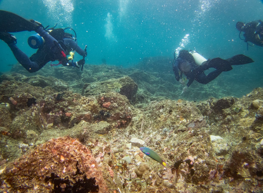
Thankfully, overfishing and coral extraction are now outlawed to conserve this fragile underwater ecosystem. The rules have even been extended to eco-tourism, where scuba diving tours have instituted a “no touching” policy…so keep your hands to yourself!
Around 200 species of birds call Batangas home, including native and endemic species, as well as migratory birds that are considered part-time residents. Common birds include the Philippine Bulbul and Collared Kingfisher, while the Philippine Eagle-owl and Philippine Duck are under threat and considered vulnerable.
The Taal Volcano Protected Landscape covers approximately 622.92 sq km. It encompasses the freshwater lake and the volcano, home to tawallis, the world’s only freshwater sardine, and Malputo, a rare freshwater trevally. One of the most popular attractions in the province, the park was originally established in 1967 and continues to protect the unique volcanic and freshwater ecosystems today.
Additional protected areas include the Verde Island Passage, the Mounts Banahaw-San Cristobal Protected Landscape, and the Mangrove Forest Reserves around the coastal areas.
Batangas was first inhabited by the Tagalog people, who arrived by way of Taiwan as part of the Austronesian migrations beginning thousands of years ago. The province is one of the earliest inhabited areas of the Philippines. Naturally, these early settlers relied heavily on fishing and farming. Still, thanks to Batangas' strategic position along the early Maritime Jade Route they also had access to items like ceramics, silk, and spices via barter with the Chinese and Malays.
In 1572, Spanish explorer Miguel López de Legazpi arrived and, within a decade, officially established the area as a Spanish province called Balayan. Spanish missionaries introduced catholicism and Western education, livestock, and agriculture. The province was eventually renamed Batangas after the abundance of batang (logs) in the Calumpang River.
Americans took control of Batangas following the Spanish-American War in 1898, which soon led to the Philippine-American War. Led by General Miguel Malvar, Batangas’ revolutionaries fought for their independence against yet another colonial power. During this time, thousands of Batangueños were taken to reconcentration camps, and countless villages were leveled. The brutal war ended on April 16, 1902, and initial efforts involved rebuilding towns that had been destroyed and instituting American democracy, along with free public schools and American teachers.
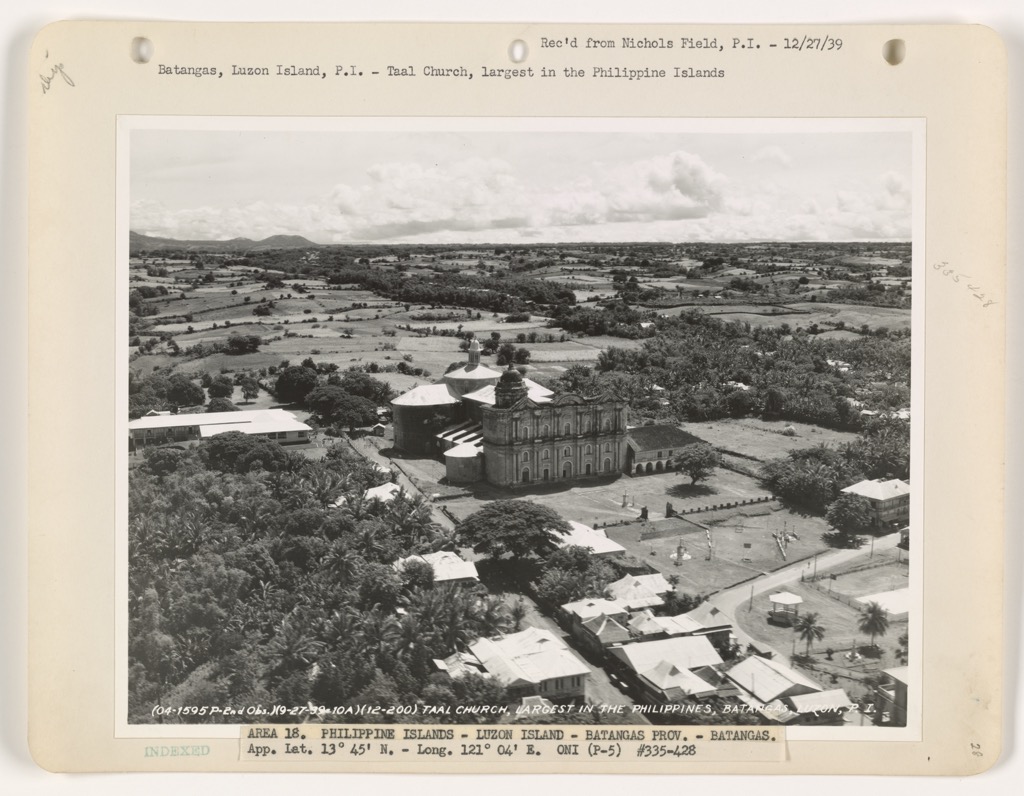
The Japanese invaded and established military control over Batanges during World War II and occupied the province between 1942 and 1945. During this time, the Lipa Massacre took the lives of thousands of civilians. Many women and children were killed, and villages burned to the ground, marking the single most horrific event in the province’s history. Later that year Batangas was liberated and American and Filipino forces collaborated to drive out Japanese troops once and for all.
The end of colonial rule came in 1946, as Batangas and the entire Philippines gained independence from the United States on July 4th. There was much damage to rebuild from following WWII.
Modern-day Batangas is known for its industry, and thriving tourism. It remains a key agricultural hub, producing coffee, sugarcane, and livestock as the “Cattle Capital of the Philippines,”. It is also known for the Batangas International Port, one of the world’s busiest ports.
There are two main trails to the summit of the dormant stratovolcano: the old trail and the new trail. Don’t feel limited to one or the other as taking one trail up and the other back down is highly recommended.
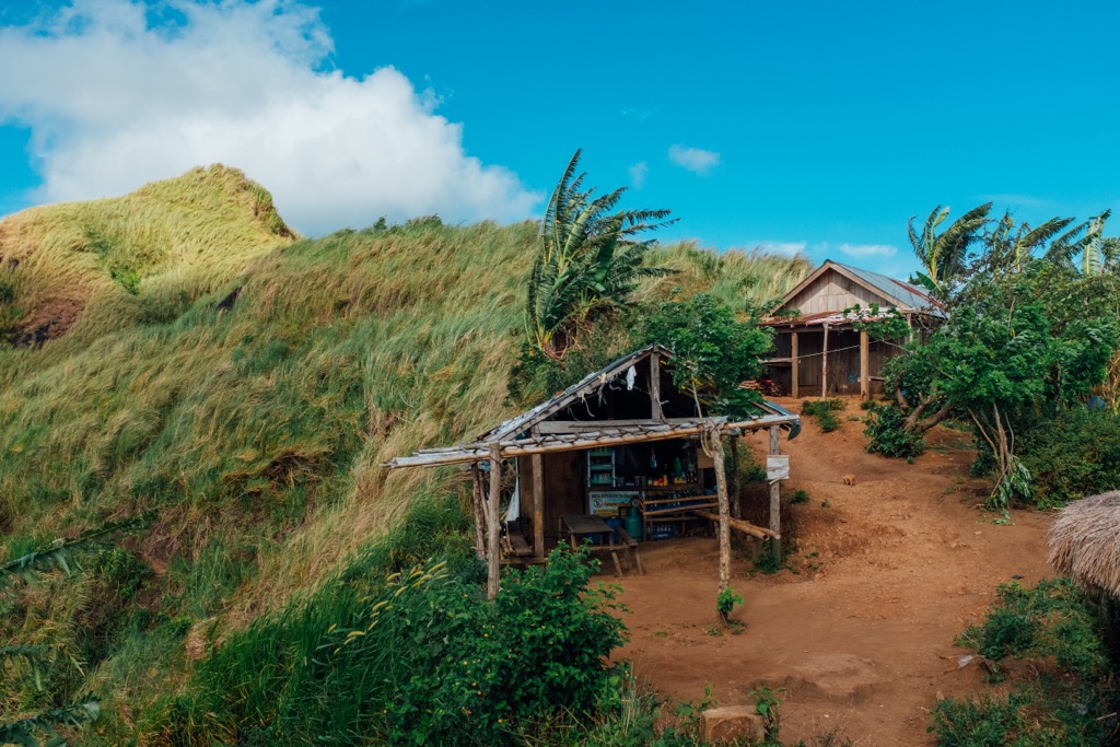
Pro tip: One of the best times of year to hike Batulaonis is the end of December, when the mountain's eastern flanks are illuminated in the yellow rays of the morning sun, making for a legendary landscape. From the summit, the view of Tagaytay Highlands is second to none.
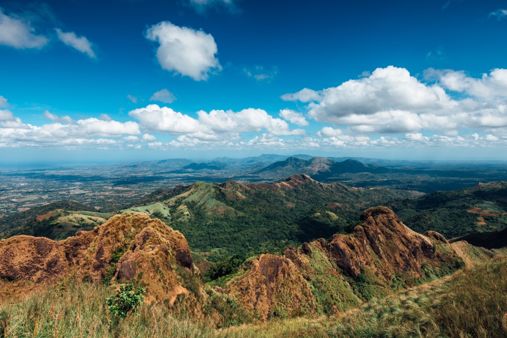
Near Taal Lake is the iconic Mount Maculot, a dormant volcano with three peaks and several notable hiking landmarks—these are often combined as the so-called Maculot Traverse.
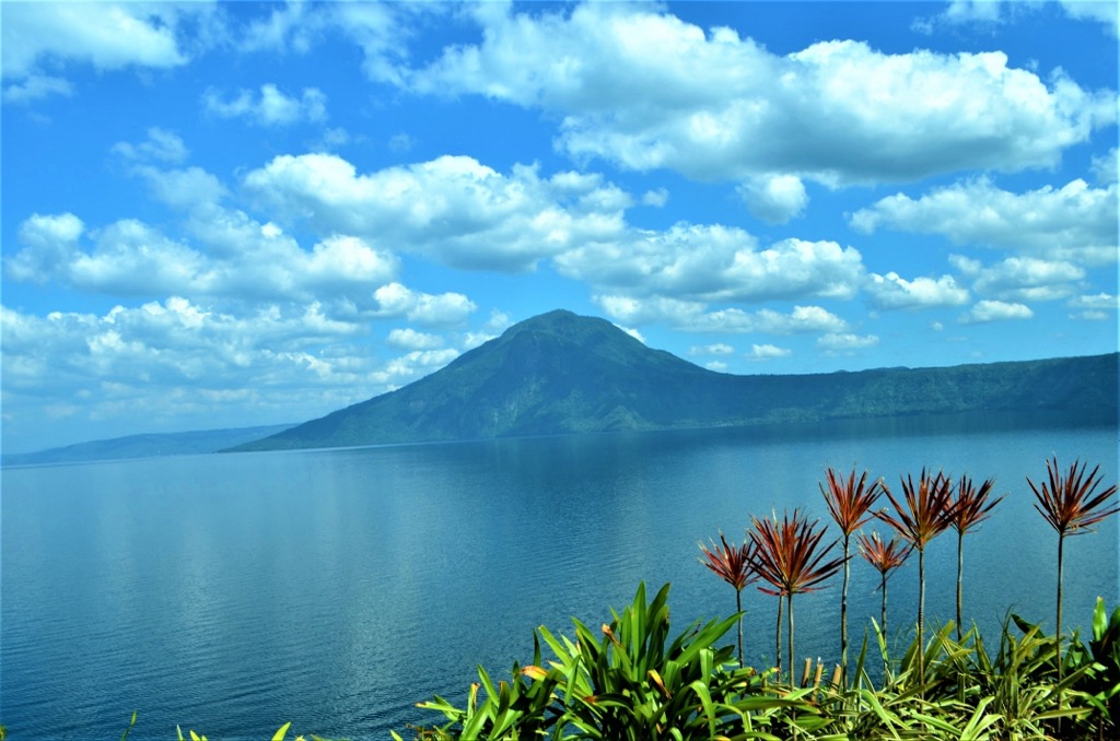
The first, and most popular among pilgrims during Holy Week, is the so-called “grotto,” which is a natural formation with a statue of the Virgin Mary, nestled within the rocks. Located at around 706 m (2,316 ft) the “Rockies” is a prominent feature that juts out dramatically over Lake Taal. They are one of Batangas's most legendary spots for hiking and photography. The 957 m summit is the most demanding of the three points along the traverse, but worth the effort for unsurpassed views and the inherent satisfaction of summiting.
PLEASE NOTE: Mt Maculot has been off-limits to tourists and pilgrims since a 2020 executive order shut it down during the COVID pandemic. Since then, the municipal government decided to keep the mountain closed to allow the fragile landscape to be rehabilitated from traffic over the years. As of November 2024, it remains closed with hopes to open again in the near future. In the meantime, a tourism office is being constructed near the mountain to help regulate conservation moving forward.
Depending on your route, the hike to the summit and back is about 8km (5 miles) round trip and will take the average hiker most of the day. The mountain has four main routes, including the most popular, the Barangay Nagtaluntong Trail, which passes by Katiting Falls. While the waterfall is not the biggest, it is a perfect spot to take a refreshing trailside break on your journey. Excellent views of the Verde Island Passage and Batangas Bay abound from the summit vista points. Campsites near the summit are perfect for alpine start sunrise hikes and evening stargazing.
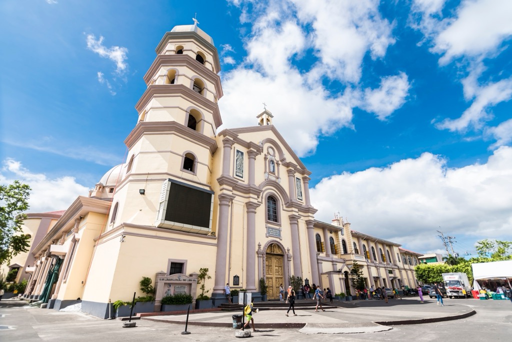
In 1754, after the town of Taal was leveled by several powerful eruptions, the capital was relocated to Batangas City. Located in the southernmost part of the province, it’s an industrial city, home to Batangas International Port, one of the busiest ports in the Philippines, and major facilities, including First Gen Natural Gas Plant and the Batangas Refinery (Petron). It also hosts several colleges and universities, including Batangas State University and the University of Batangas. Some of the major tourist attractions of the city are the Basilica of the Immaculate Conception, built in 1581, is one of the oldest catholic churches in the province, and Plaza Mabini, a public square in the heart of the city, named for a revolutionary war hero.
Centrally located 78 km (48 mi) south of Manilla and situated at 312 m (1,025 ft) above sea level, Lipa City is known for the Lipa City Coffee Festival, which highlights Kapeng Barako (Coffea liberica), a coffee variety endemic to Batangas. Due to its plentiful churches, seminaries, and religious institutions, including San Sebastian Cathedral, an iconic Spanish-era structure, and the Mary Mediatrix of All Grace Shrine, Lipa City is known as the “Little Rome of the Philippines.”
Lipa City is also home to several top colleges and universities, including De La Salle Lipa and Batangas State University Lipa Campus.
Known as the “Cradle of Noble Heroes,” the city is best known as the birthplace of Apolinario Mabini ("The Sublime Paralytic") and General Miguel Malvar (the last general to surrender during the Philippine-American War). Its proximity to Taal Lake makes it a popular starting point for guided freshwater activities and adventures on the volcano itself (when it's not raining fire).
The city is named after Saint Thomas of Villanova, the town's patron saint. Located at the base of Mount Makiling, the highest summit in the province, the city is known as the “Gateway to Batangas” due to its location near Metro Manila. It is known by some as the "Cradle of Christianity in Batangas," as Santo Tomas is deeply rooted in religious faith. Additionally, it is a major industrial and economic center and one of the fastest-growing cities in Batangas.
Explore Batangas Mountains with the PeakVisor 3D Map and identify its summits.


