Scan the QR code and open PeakVisor on your phone
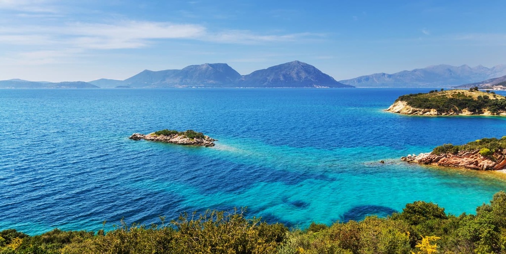
The Aegean Sea Administration is an administrative unit of Greece. It is located in the eastern part of the country and contains most of its eastern islands. The administrative unit contains two of Greece's fourteen regions: North Aegean and South Aegean. Within the region, you can find an incredible collection of rocky islands, many of which have high peaks with panoramic views. There are 477 named mountains in the Aegean Sea region of Greece, the highest and most prominent of which is Pelineo (1,297 m / 4,255 ft).
The Greek region of the Aegean Sea (officially the Decentralized Administration of the Aegean/Αποκεντρωμένη Διοίκηση Αιγαίου) is named after its namesake body of water, the Aegean Sea.
According to the most commonly accepted etymology, the name ‘Aegean’ comes from the name of the Greek king Aegeus (Αἰγεύς).
Aegeus is known above all because of the sad story of his death. He committed suicide after hearing that his son Theseus died in a battle with the monster Minotaur on the island of Crete. However, it turns out that Theseus did not actually die in battle; rather, Theseus successfully killed the Minotaur.

But, as he approached the mainland on his return voyage, Theseus forgot to change the sails on his ship from black to white to signal his victory. Since Theseus and Aegeus had previously agreed that a black sail was a sign that Theseus had died, Aegeus was mortified at the sight of a ship with black sails sailing toward port. As a result, he committed suicide by jumping into the sea that now bears his name.
The myth of Aegeus and Theseus is one of the best-known stories to have come from the Ancient Greeks. A number of famous authors, such as Sophocles and Euripides, wrote of this tragedy in their works. Many Ancient Greek painters, sculptors, and composers, also took inspiration from this myth.
The Aegean Sea Administration is located in southeastern Greece in the Aegean Sea, which is situated in the eastern part of the Mediterranean Sea.
That being said, it is not the only region of the country located entirely on islands. For example, the largest island of Greece, Crete, is also located in the Aegean Sea. But it is considered a separate region. Nevertheless, the Aegean Sea Administration is easily the largest in terms of its total area covered (including water) and in its total number of islands.
The region's full name is Decentralized Administration of the Aegean (Αποκεντρωμένη Διοίκηση Αιγαίου). It is one of seven such units in Greece, and it was established in 2011.
The largest island of the Aegean Sea Administration is Rhodes, the most famous is Santorini, and one of the most non-touristy is Amorgos. But it’s worth noting that the Aegean Islands as a whole also include famous Greek islands such as Crete, the Saronic Islands, Euboea, and the Sporades. However, these islands are not part of the administrative unit.
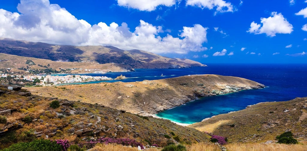
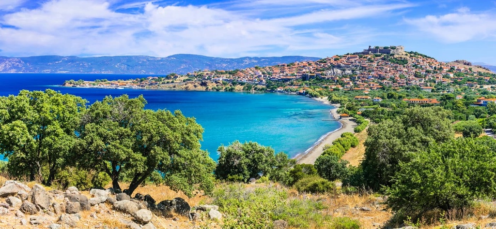
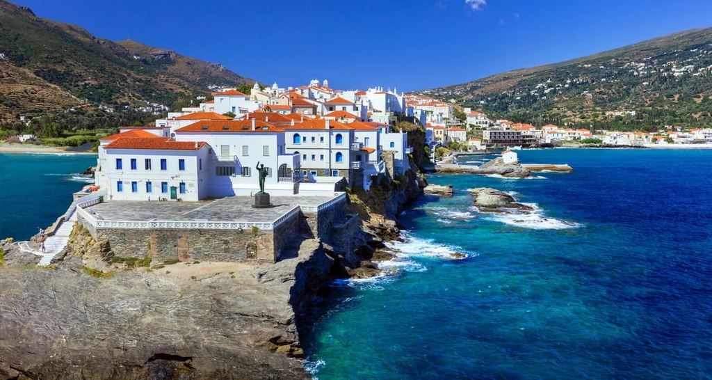
Within the administrative unit, there are two regions: North Aegean (Βόρειο Αιγαίο) and South Aegean (Νότιο Αιγαίο). The capital of North Aegean is Mytilene (Μυτιλήνη), which is located on Lesbos Island (Λέσβος). Meanwhile, the capital of South Aegean is Ermoupoli (Ερμούπολη) on Syros Island (Σύρος).
The southern part of the administrative unit is slightly larger than the northern one in terms of its area and population. South Aegean encompasses 5,286 sq. km (2,040 sq. mi) of terrain and is home to around 308,000 people. Meanwhile, North Aegean encompasses 3,836 sq. km (1,481 sq. mi) of terrain and is home to around 197,000 people.
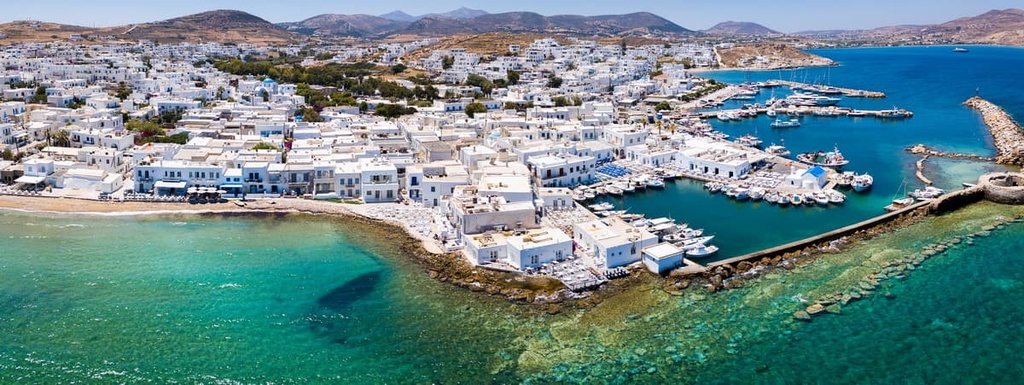
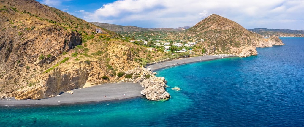
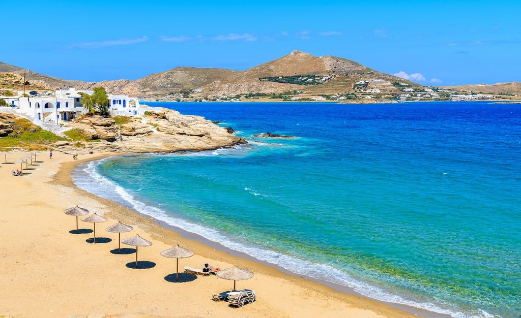
The South Aegean region (Νότιο Αιγαίο) includes two large groups of islands—the Cyclades (Κυκλάδες), which are located near the center of the Aegean Sea, and the Dodecanese (Δωδεκάνησα), which are situated off the coast of Türkiye.
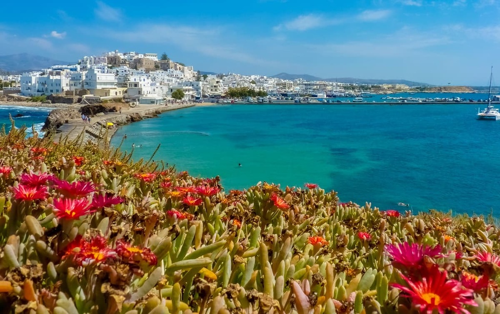
The largest of the Cyclades islands are Naxos, Paros, Andros, Tinos, Mykonos, Santorini or Thira, and Amorgos (part of the Naxos regional unit). In all, there are more than 2,200 islands in the Cyclades, of which only 33 are inhabited.
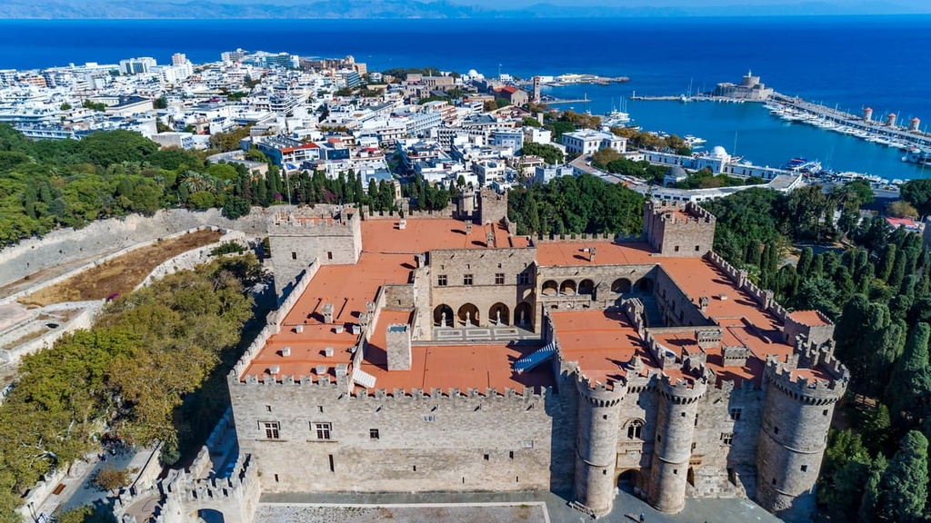
The three largest Dodecanese (Δωδεκάνησα) islands are Rhodes, Karpathos, and Kos.
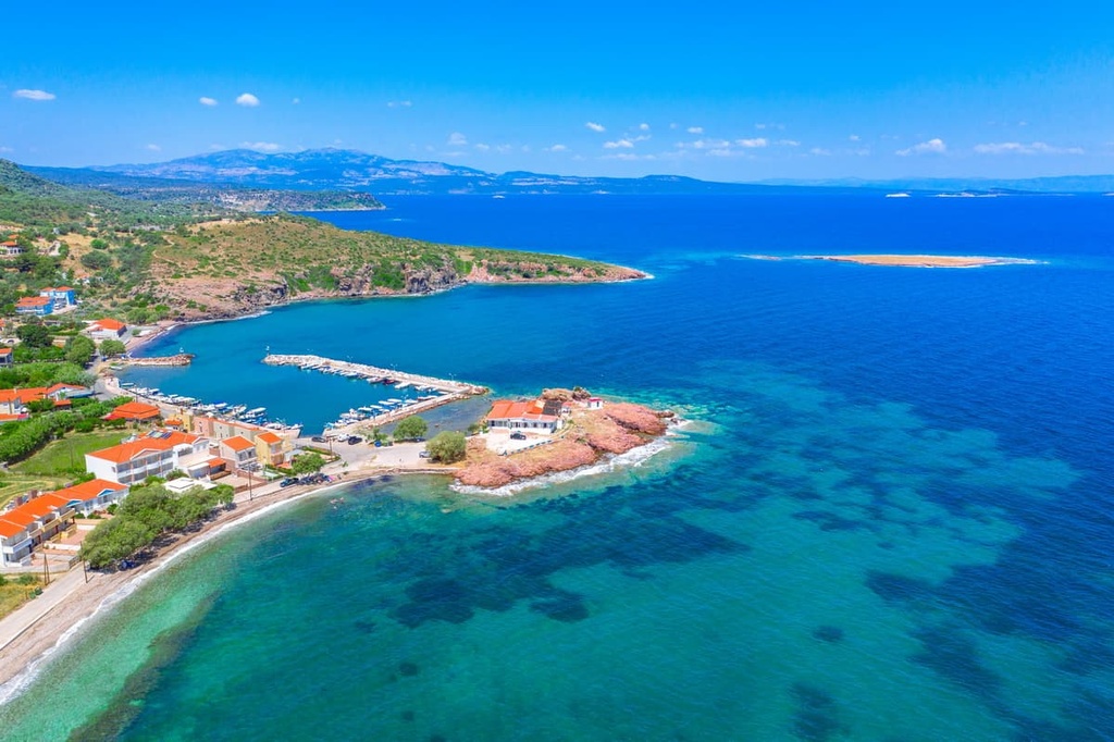
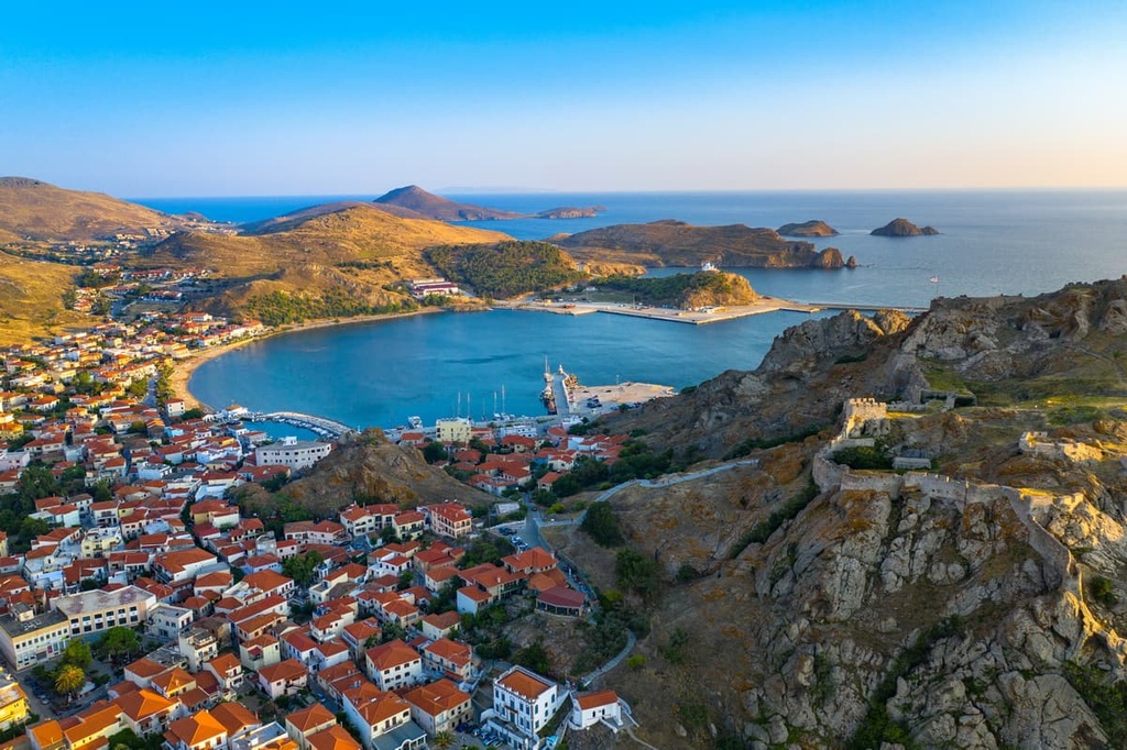
The North Aegean region (Βόρειο Αιγαίο) is a single unit. Its largest islands are Lesvos or Lesbos (sometimes called Mytilene), Chios, Samos, Ikaria, and Limnos. These islands are also located near the coast of Türkiye.
Geographically, the region also includes the northernmost island in this part of the Aegean Sea, Thasos (Θάσος). Thasos is administratively part of the Kavala Prefecture of the Eastern Macedonia and Thrace region of Greece.
The rocky islands in the Aegean Sea Administration belong to the largest mountain range in Greece. This range is called the Pindus Range or Pindus Mountains (Πίνδος), and it happens to be the largest part of the Greek Ranges, which cover the whole country.
The northern limits of this range extend to Southern Albania, while the southern limits are considered to be the Tymphrestos Mountains, which are located to the northeast of the town of Karpenísion on the Peloponnese Peninsula. The islands in the Aegean Sea Administration are considered an extension of these mountains.
However, geologically, the Pindus Range (Πίνδος) is part of the larger Dinaric Alps, which cover almost the entire western part of the Balkan Peninsula. From a geopolitical perspective, many people may not think of the Pindus as part of the Dinarides, though they share a similar geologic history.
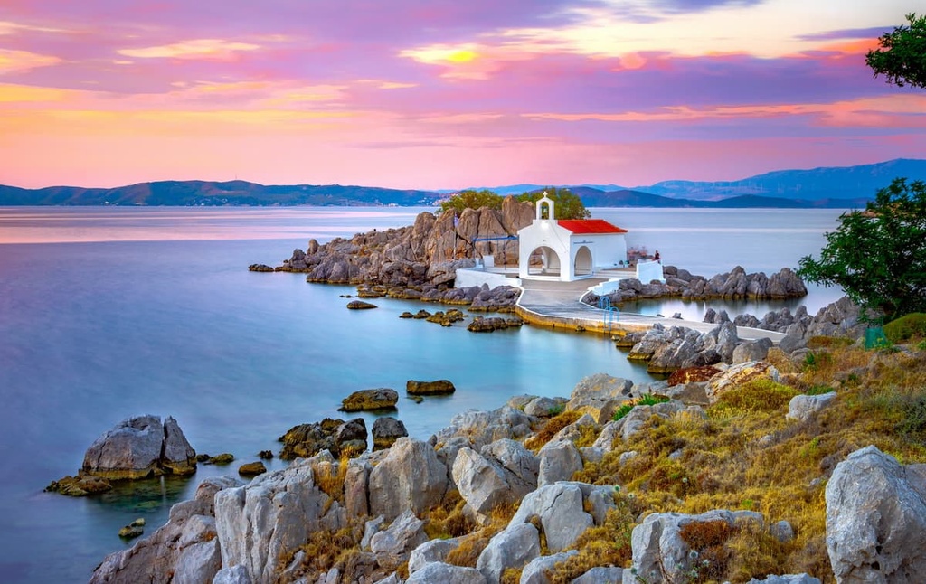
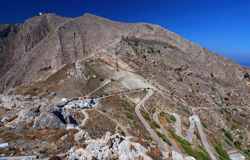
The highest peak of the Aegean Sea Administration is Pelineo. It is located almost at the northern tip of the island of Chios in the North Aegean. This high mountain clearly stands out as the natural dominant feature of the island as a whole.
Pelineo consists of two peaks: the northern peak, which is called Profítis Ilías (1,297 m / 4,255 ft), and the southern peak, which is 1,277 m (4,189 ft) tall. The mountain’s northern peak is named after the Prophet Elijah.
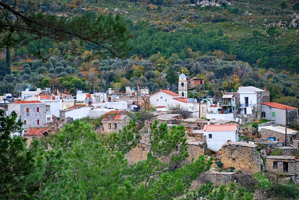
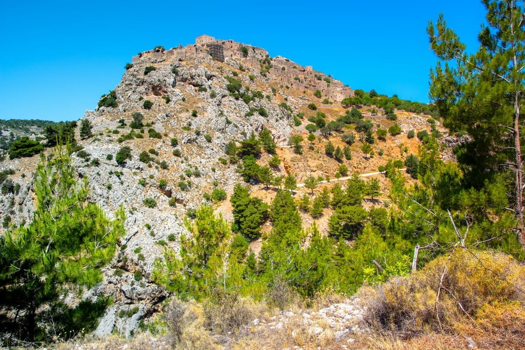
There is a path that leads to the top of the mountain from the village of Viki. Viki is located right on the slopes of the mountain, some 40 km (24.8 mi) away from the main town of Chios.
At the top of the Pelineo, there is a small structure called the Chapel of the Holy Trinity. The total length of the trail is about 13 km (8 mi), depending on the exact route that you take.
Of course, the highest mountain on the island is also its best viewpoint. From the top of the mountain, you can see the whole northern part of the Aegean Sea and the coast of Türkiye. In particular, you can see the coast of Balıkesir Province in the western part of Türkiye’s Marmara Region, one of the seven main regions of the country.
Below is a list of the highest peaks on the other major islands in the Aegean Sea Administration. Each of them can usually be climbed on a relatively easy trail. However, hiking in Greece can be challenging, so it is typically only appropriate for experienced hikers who are well-prepared for their travels.

None of Greece’s 27 national parks are located on islands in the Aegean Sea Administration. However, there are plenty of other hiking areas in the region to enjoy, even if there are no national parks.
On the contrary, hiking trails can be found on all of the inhabited Greek islands, and the larger the island, the more developed its tourist infrastructure. In fact, the Aegean Sea Administration islands are effectively one big hiking area that’s separated by many kilometers of water.
Keep in mind that the routes and infrastructures available on each island may differ, but they are generally fairly similar. In addition to the route to the highest mountain in the region, Pelineo, we’ve collated a list of some of the best hikes on the largest and most famous islands in the region.
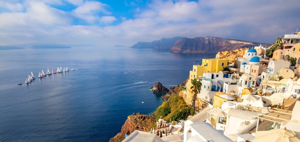
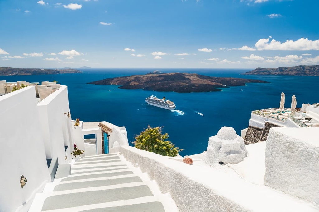
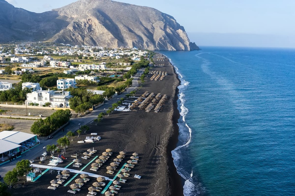
The most popular route on Santorini, the most popular Greek island in the Cyclades, is considered to be the 6 km (10 mi) trek between the villages Fira or Thera (Φηρά Θήρας) and Oia (Οία).
Fira is located by the sea and is the main port city of the island. The main feature of the route is its panoramic views of the island’s caldera, a large cauldron-like hollow that formed shortly after the volcanic eruption that took place here millions of years ago.
Other interesting routes on Santorini include:
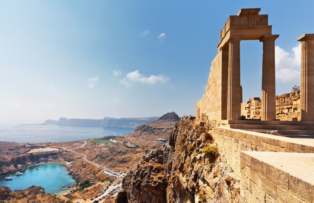
The most popular route on Rhodes, the largest island of the Dodecanese Archipelago, is the trek from the village of Lindos on the southeastern side of the island to the clifftop Lindos Acropolis (Ακρόπολη της Λίνδου), which is located above the town.
The acropolis features a number of incredible artifacts, including the fourth-century BCE Temple of Athena Lindia and a second-century BCE Hellenistic staircase. The length of this trail is only about 1 kilometer (0.6 mi) round trip.
Other interesting trails on Rhodes include:
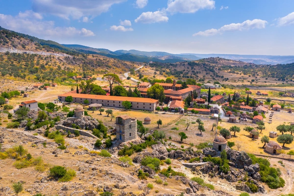
The most popular trail on the largest island of the North Aegean, Lesvos/Lesbos (Λέσβος), is a casual hike along the main trail (2.7 km / 1.7 mi) in the Lesvos Petrified Forest. The Lesvos Petrified Forest is located on the extreme western tip of the island, and it consists of the fossilized remains of plants and trees.
The natural history museum of the same name is located in the forest, too. As a result, you can combine outdoor activity with an educational experience during a trip to the forest if you want to learn more about the region. The entire island of Lesvos is also a UNESCO Geopark.
Other interesting trails in Lesvos include:
Before, during, or definitely after your trip to Greece, be sure to visit the official website of the Greek National Tourism Organization, VisitGreece.gr, to get more information about the Aegean Sea Administration region.
In each of the major capital towns on each island, including Santorini, Rhodes, and Lesvos, among others, you can also find Info Points and Tourist Offices where you can pick up a map of the island that shows its main walking routes.
The inhabited Greek islands offer all kinds of accommodation for visitors, including hotels, rental apartments, 5-star residences and villas, camping and glamping sites, and youth hostels, among others.
Wild camping and parking outside legal campsites are not permitted in Greece, including both on the islands and on the mainland. On the islands, there are also no free Alpine-like bivouacs. Additionally, the half-abandoned stone buildings you can still find on the islands are often closed or have no windows and doors, so they are not very suitable for overnight stays.
Therefore, it is best to arrange your accommodation in Greece ahead of time, either by booking hotel rooms or by reserving campsites in your chosen destination.
One of the main features of the Aegean Sea Administration, which is located entirely on islands, is that all its main towns are simultaneously seaside resorts: they have few people, no industrial enterprises, and no big highways (although traffic tends to increase during the tourist season). Your journey is likely to start in one of such towns, which usually also has the island’s main port.
Below, you can find a list of the region’s largest and most popular islands and their capitals. Note that the name of the largest community on each island is often the same as the name of the island itself (though this is not always the case). Some towns may have two or even more names like Fira on Santorini.
Another interesting detail is that for the main town on an island in Greece there is a special word—Chora (Χώρα)—which literally means “main town.” Sometimes it is also a town's name (so there is no other official name for the community), as in the case of Amorgos.
If you are traveling to the Aegean Sea Administration from further afield, you will likely fly directly to Athens. From Athens, you can catch a ferry to most of the major communities in the Aegean Sea Administration (or to a community where you can take a second ferry to your chosen destination).
In some cases, you can also fly to the islands themselves from Athens or other nearby major cities. But taking the ferry can be an adventure in its own right, and it offers you a chance to experience the islands from the water.