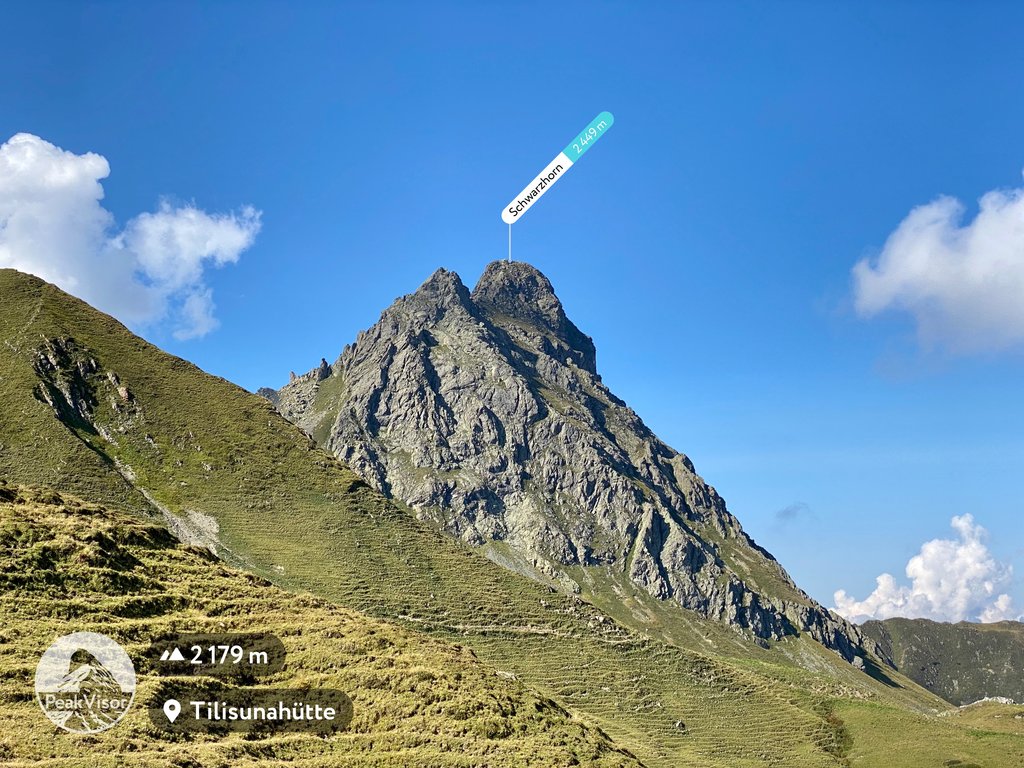
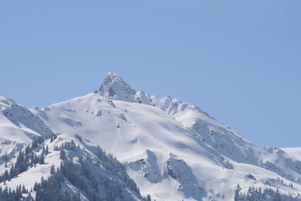
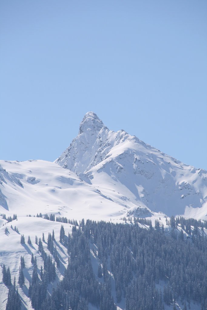
Tilisuna-Schwarzhorn (also called Schwarzhara) is a 2,460 m (AA) in the Sulzfluh sub-range of the Rätikon mountain range in the Austrian state Vorarlberg. It has a long ridge from north to south and wide scarps east and west. Besides the main summit, there is a second summit called Kleines Schwarzhorn. Both summits are separated by the col Fürkele. The alpine club hut Tilisunahütte (2208 m) is located near the Tilisuna-Schwarzhorn.
First ascenionists were land surveyors in 1853. Nowadays there are two common routes to the summit:
Easiest route: From south starting at Tilisunahütte via the saddle Schwarze Scharte in 45 to 75 minutes; some parts UIAA grade II, mostly grade I. This route was opened by J. S. Douglass and Chr. Zudrell in 1883.
North ridge: From upper station of cable car Grabs via Alpe Alpila and Schwarzhornsattel (2166 m) in 2–2½ hours; UIAA grade II. This route was opened by A. Remann, G. Gaßner and B. Hemmerle in 1886.
There's a difficult alpine trail (T6) leading to the summit.
The nearest mountain hut is Tilisunahütte located 905m/2 969ft SSE of the summit.
We use GPS information embedded into the photo when it is available.
3D mountains overlay
Adjust mountain panorama to perfectly match your photos because recorded by camera photo position might be imprecise.
Move tool
Rotate tool
Zoom
More customization
Choose which peak labels should make into the final photo and what photo title should be.
Next
Photo Location
Satellitte
Flat map
Relief map
Latitude
Longitude
Altitude
OR
Latitude
°'''
Longitude
°'''
Apply
Register Peak
Peak Name
Latitude
Longitude
Altitude
Register
Teleport
PeakVisor
This 3D model of Sagarmatha National Park in Nepal was made using the PeakVisor app topographic data. The mobile app features higher precision models worldwide, more topographic details, and works offline. Download PeakVisor maps today.
Download OBJ model
PeakVisor
The download should start shortly. If you find it useful please consider supporting the PeakVisor app.
PeakVisor for iOS and Android
Be a superhero of outdoor navigation with state-of-the-art 3D maps and mountain identification in the palm of your hand!