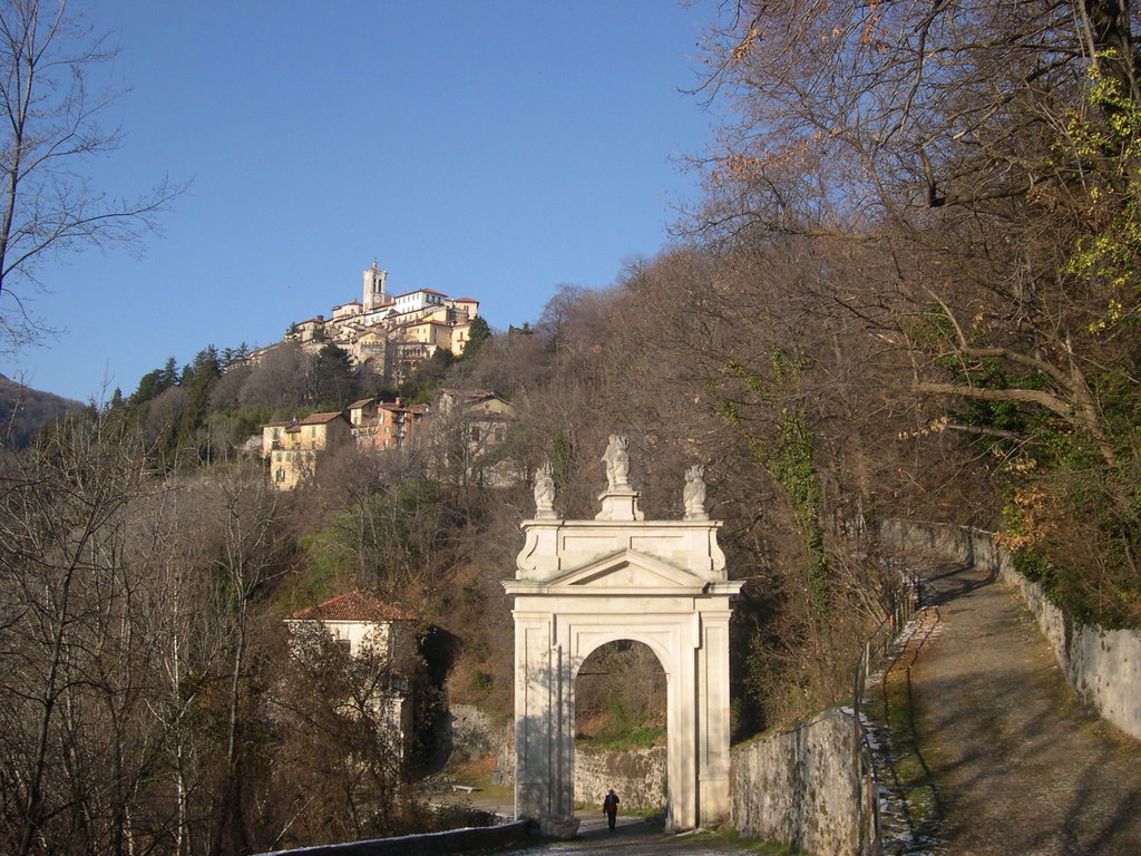
The Sacro Monte di Varese (literally ‘Sacred Mount of Varese’) is one of the nine sacri monti in the Italian regions of Lombardy and Piedmont which were inscribed on the UNESCO list of World Heritage Sites in 2003. It has an altitude of 807 metres above sea-level.
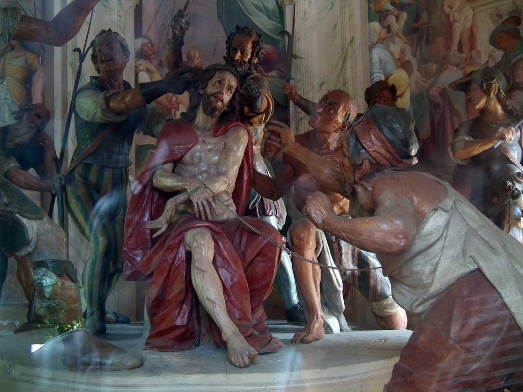
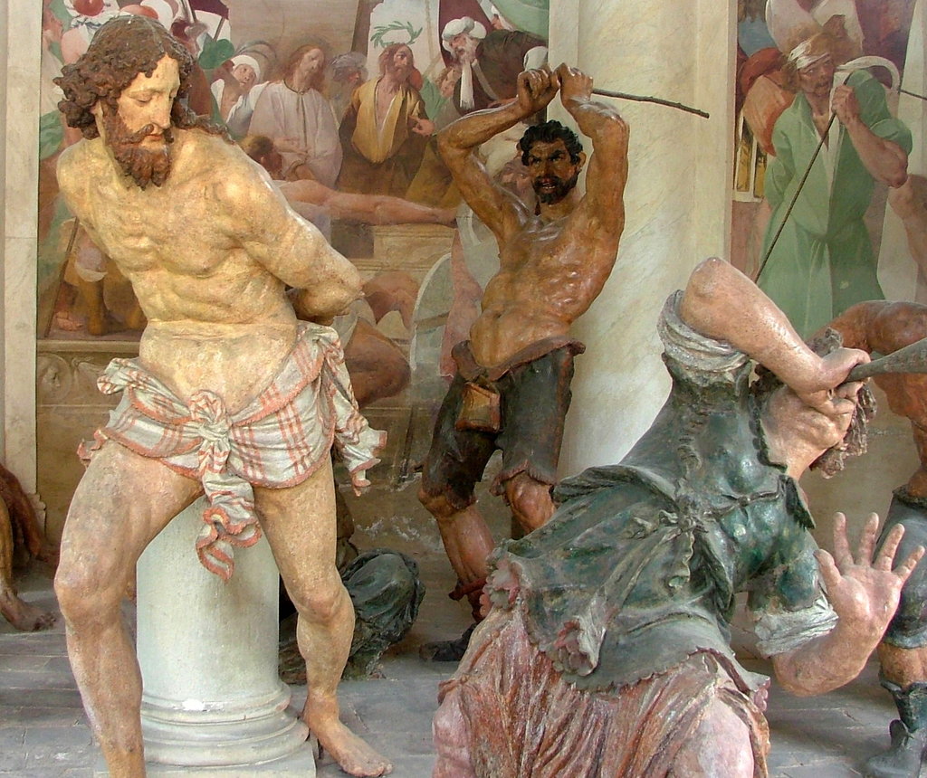
The Sacro Monte of Varese is located a few kilometers from the city and nestled in the regional park "Campo dei Fiori" which literally translates to "Field of Flowers". It consists of the Holy Road and the Sanctuary, as well as the small medieval village surrounding the Sanctuary. The Holy Road with its 14 chapels, rise up the mountain to the little village of Santa Maria del Monte and it ends with the Sanctuary (15th chapel) dedicated to the Virgin Mary. The rise is 2 kilometers along on a pebbly path, and every chapel represents one of the Mysteries of Jesus Christ’s life. You can find at the mountaintop the Sanctuary, the Cloister of Monache Romite Ambrosiane, The Museo Baroffio e del Santuario, the Casa Museo Lodovico Pogliaghi, the permanent nativity scene, and different restaurants, bars, a pizzeria, three hotels and a bed & breakfast. There is also a recently restored funicular that operates between a parking lot at the first chapel "Prima Cappella" and the top of Sacro Monte on Saturdays and Sundays throughout most of the year. Don't miss the "Emporio", a multifunctional shop where visitors can find touristic information.
There's a trail called Via Monsignor Pasquale Macchi leading to the summit. Sacro Monte di Varese is one of the 2 peaks along the Via Verde Varesina Tappa 3.
By elevation Sacro Monte di Varese is
# 15 out of 24 in Parco regionale Campo dei Fiori # 61 out of 156 in Varese
By prominence Sacro Monte di Varese is
# 7 out of 24 in Parco regionale Campo dei Fiori # 59 out of 156 in Varese
We use GPS information embedded into the photo when it is available.
3D mountains overlay
Adjust mountain panorama to perfectly match your photos because recorded by camera photo position might be imprecise.
Move tool
Rotate tool
Zoom
More customization
Choose which peak labels should make into the final photo and what photo title should be.
Next
Photo Location
Satellitte
Flat map
Relief map
Latitude
Longitude
Altitude
OR
Latitude
°'''
Longitude
°'''
Apply
Register Peak
Peak Name
Latitude
Longitude
Altitude
Register
Teleport
PeakVisor
This 3D model of Sagarmatha National Park in Nepal was made using the PeakVisor app topographic data. The mobile app features higher precision models worldwide, more topographic details, and works offline. Download PeakVisor maps today.
Download OBJ model
PeakVisor
The download should start shortly. If you find it useful please consider supporting the PeakVisor app.
PeakVisor for iOS and Android
Be a superhero of outdoor navigation with state-of-the-art 3D maps and mountain identification in the palm of your hand!


.JPG)