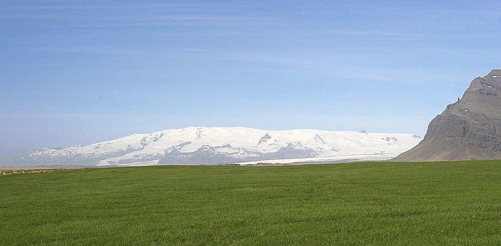
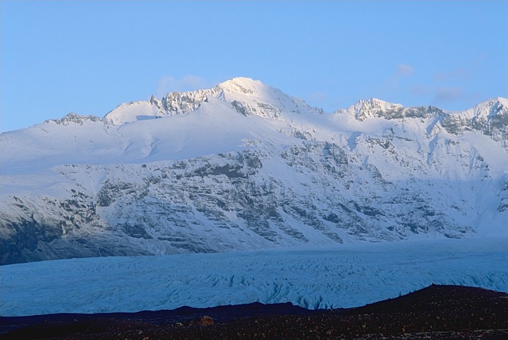
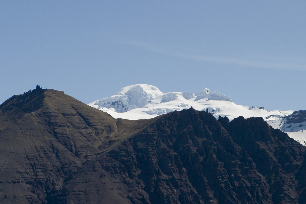
Öræfajökull (Icelandic pronunciation: [ˈœːraivaˌjœːkʏtl̥]) is an ice-covered volcano in south-east Iceland, at the southern extremity of the Vatnajökull glacier and overlooking the Ring Road between Höfn and Vík. It is the largest active volcano in the country, and on the summit crater's north-western rim is Hvannadalshnúkur, the highest peak in Iceland at 2,110 metres (6,920 ft). Geographically, Öræfajökull is considered part of Vatnajökull, and the area covered by glacier is within the boundary of Vatnajökull National Park.
Öræfajökull has erupted twice in historical times. In 1362, the volcano erupted explosively, with huge amounts of tephra being ejected. The district of Litla-Hérað was destroyed by floods and tephra fall. More than 40 years passed before people again settled the area, which became known as Öræfi. The name literally means an area without harbour, but it took on a meaning of wasteland in Icelandic. An eruption in August 1727-28 was smaller, though floods are known to have caused three fatalities.
By elevation Öræfajökull is
# 6 out of 4145 in Iceland # 6 out of 236 in Vatnajökull National Park # 6 out of 4145 in the Iceland
We use GPS information embedded into the photo when it is available.
3D mountains overlay
Adjust mountain panorama to perfectly match your photos because recorded by camera photo position might be imprecise.
Move tool
Rotate tool
Zoom
More customization
Choose which peak labels should make into the final photo and what photo title should be.
Next
Photo Location
Satellitte
Flat map
Relief map
Latitude
Longitude
Altitude
OR
Latitude
°'''
Longitude
°'''
Apply
Register Peak
Peak Name
Latitude
Longitude
Altitude
Register
Teleport
PeakVisor
This 3D model of Sagarmatha National Park in Nepal was made using the PeakVisor app topographic data. The mobile app features higher precision models worldwide, more topographic details, and works offline. Download PeakVisor maps today.
Download OBJ model
PeakVisor
The download should start shortly. If you find it useful please consider supporting the PeakVisor app.
PeakVisor for iOS and Android
Be a superhero of outdoor navigation with state-of-the-art 3D maps and mountain identification in the palm of your hand!