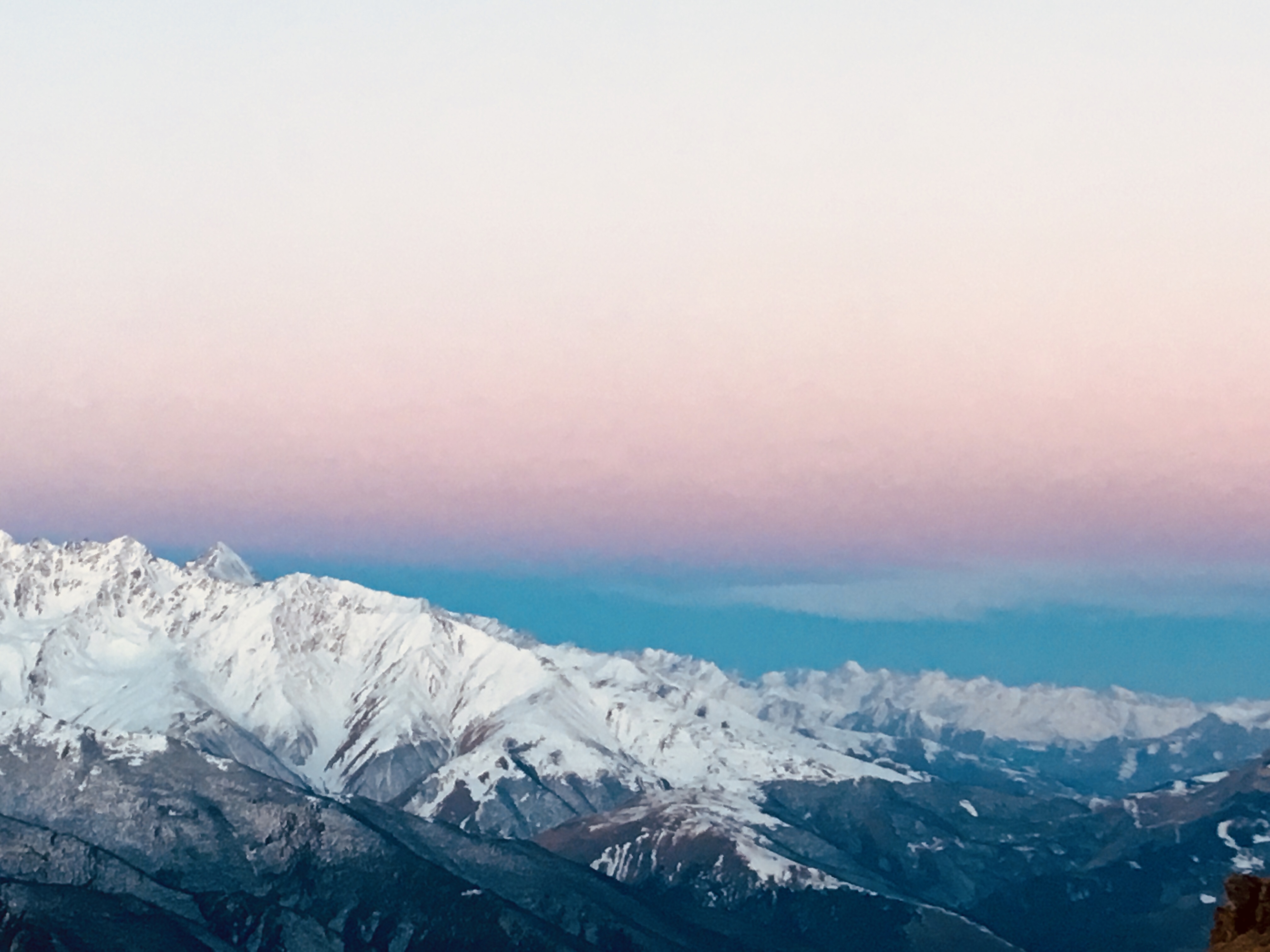
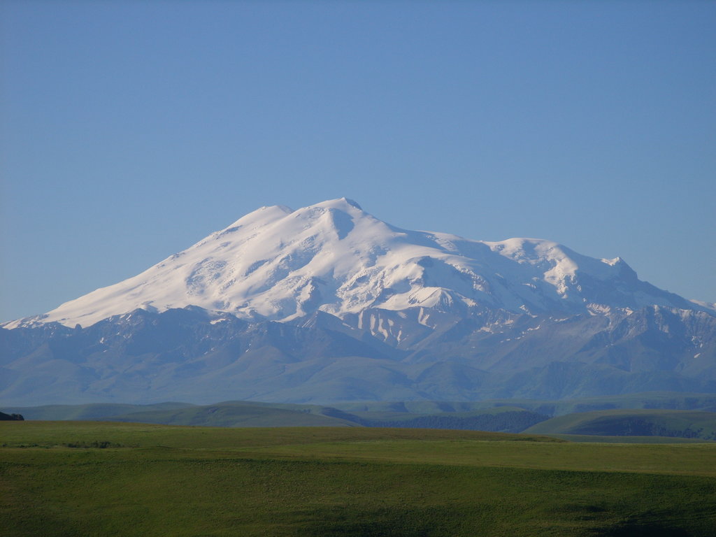
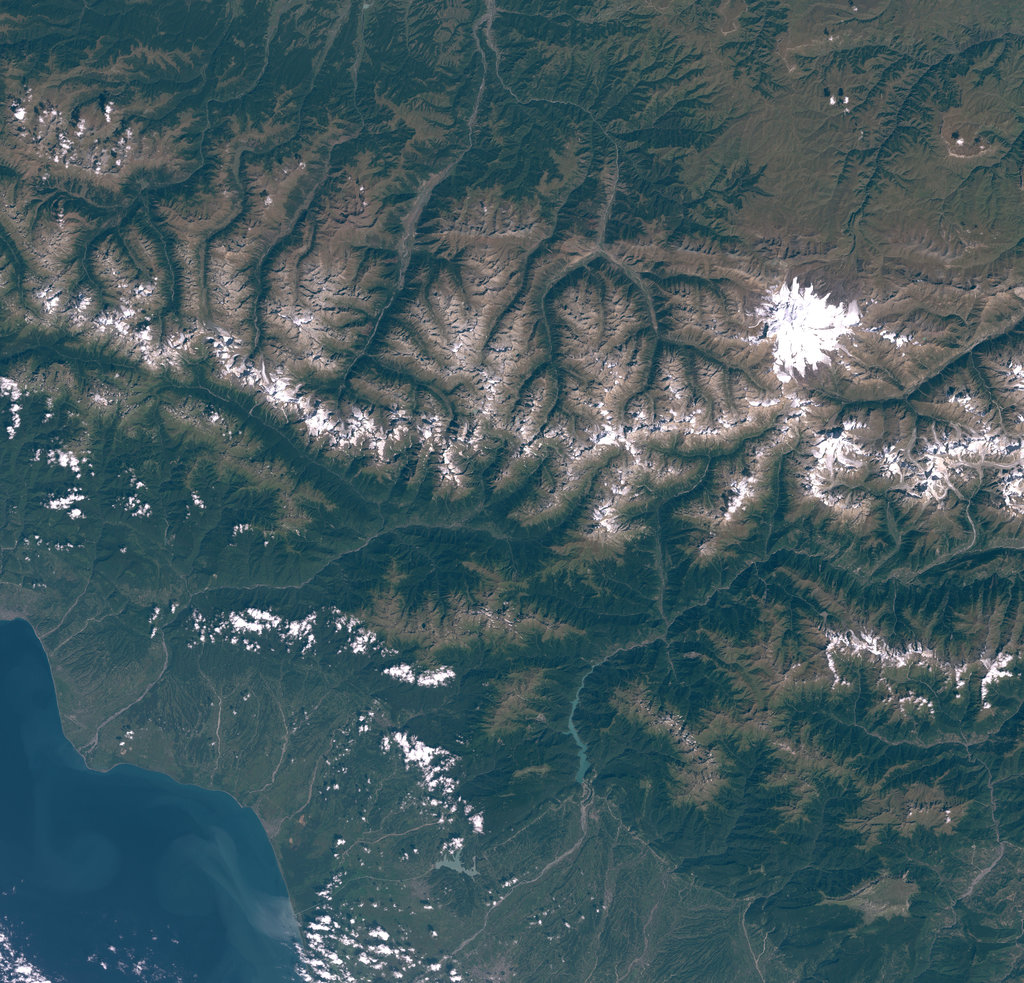
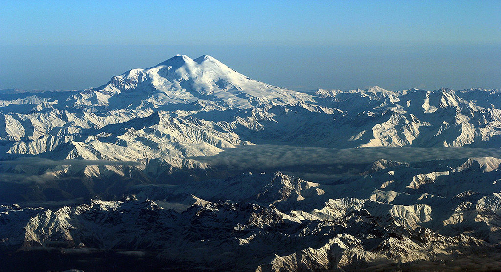
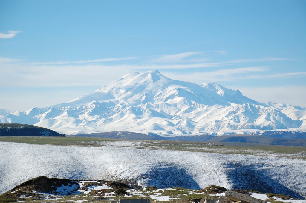
Mount Elbrus (Russian: Эльбру́с, tr. Elbrus; IPA: [ɪlʲˈbrus]; Karachay-Balkar: Минги тау, Miñi taw, IPA: [mɪˈŋːi taw]; Kabardian: Ӏуащхьэмахуэ, ’Wāśhamāxwa IPA: [ʔʷoːɕħɑmæːxʷo]; Georgian: იალბუზი, tr. Ialbuzi; Ossetian: Halbruz) is the highest mountain in Russia and in Europe, and the tenth most prominent peak in the world. A dormant volcano, Elbrus is in the Caucasus Mountains in Southern Russia, near the border with Georgia.
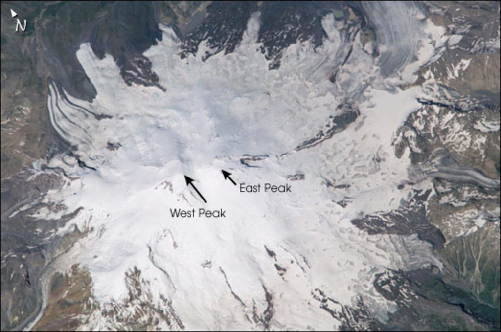
Elbrus has two summits, both of which are dormant volcanic domes. The taller west summit is 5,642 metres (18,510 ft);, the east summit is 5,621 metres (18,442 ft). The east summit was first ascended on 10 July 1829 (Julian calendar) by Khillar Khachirov, a Karachay guide for an Imperial Russian army scientific expedition led by General Emmanuel, and the west summit (by about 20 m; 66 ft) in 1874 by a British expedition led by F. Crauford Grove and including Frederick Gardner, Horace Walker, and the Swiss guide Peter Knubel of St. Niklaus.
While authorities differ on how the Caucasus are distributed between Europe and Asia, most relevant modern authorities define the continental boundary as the Caucasus watershed, placing Elbrus in Europe due to its position on the north side in Russia.
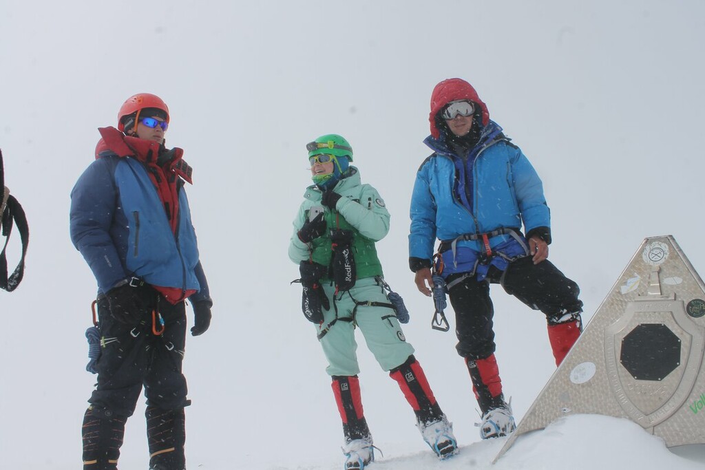
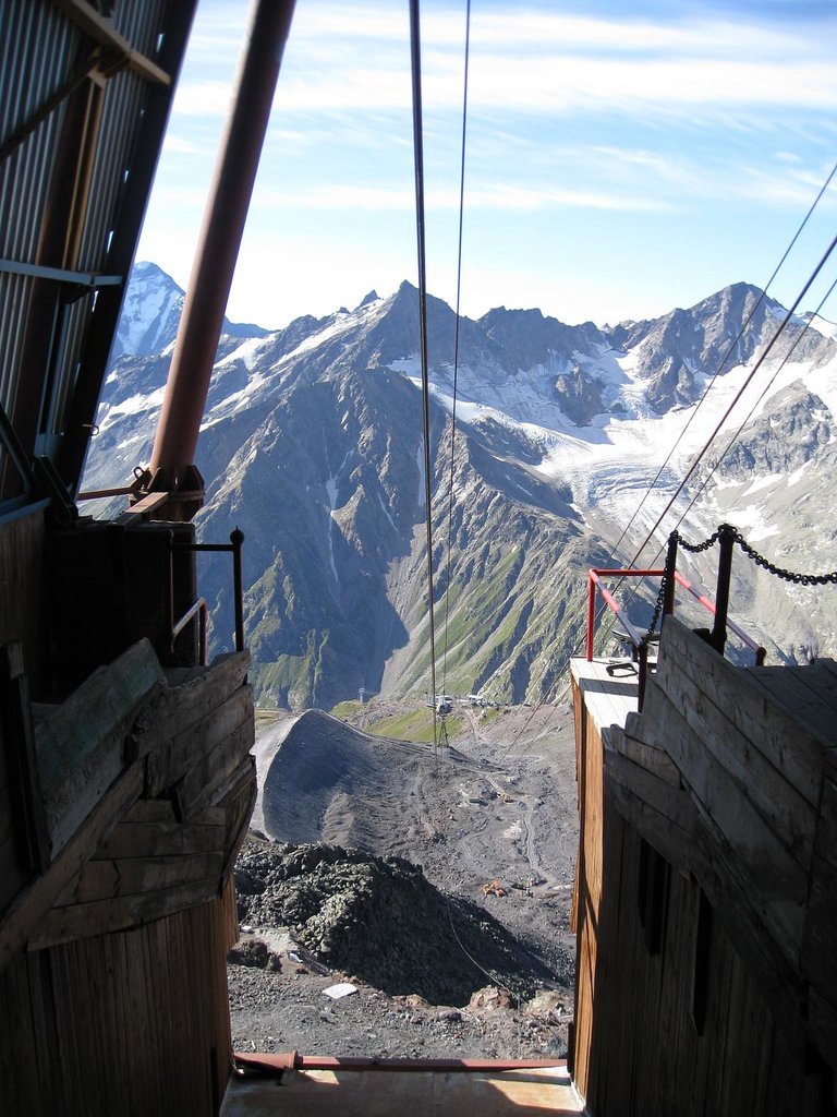
There's a difficult alpine trail (T6) leading to the summit.
By elevation Mount Elbrus (East Summit) is
# 2 out of 49 in Zolsky District # 2 out of 168 in Elbrus District # 2 out of 475 in Kabardino-Balkaria # 2 out of 24823 in Russia # 2 out of 115 in Prielbrusye National Park # 2 out of 4326 in the Greater Caucasus # 2 out of 7939 in the Caucasus
By prominence Mount Elbrus (East Summit) is
# 6 out of 49 in Zolsky District # 36 out of 168 in Elbrus District # 90 out of 475 in Kabardino-Balkaria # 22 out of 115 in Prielbrusye National Park
We use GPS information embedded into the photo when it is available.
3D mountains overlay
Adjust mountain panorama to perfectly match your photos because recorded by camera photo position might be imprecise.
Move tool
Rotate tool
Zoom
More customization
Choose which peak labels should make into the final photo and what photo title should be.
Next
Photo Location
Satellitte
Flat map
Relief map
Latitude
Longitude
Altitude
OR
Latitude
°'''
Longitude
°'''
Apply
Register Peak
Peak Name
Latitude
Longitude
Altitude
Register
Teleport
PeakVisor
This 3D model of Sagarmatha National Park in Nepal was made using the PeakVisor app topographic data. The mobile app features higher precision models worldwide, more topographic details, and works offline. Download PeakVisor maps today.
Download OBJ model
PeakVisor
The download should start shortly. If you find it useful please consider supporting the PeakVisor app.
PeakVisor for iOS and Android
Be a superhero of outdoor navigation with state-of-the-art 3D maps and mountain identification in the palm of your hand!