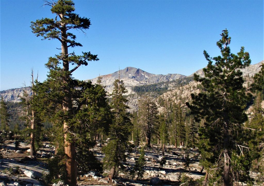
Madera Peak is a 10,509-foot-elevation (3,203 meter) mountain summit located in the Sierra Nevada mountain range in Madera County, California, United States. It is situated in the Ansel Adams Wilderness on land managed by Sierra National Forest. Madera Peak is the southernmost summit of an ancient ridge from which the Clark Range formed. The mountain is set 2.2 miles (3.5 km) south-southeast of Gale Peak, and topographic relief is significant as the summit rises 1,600 feet (490 meters) above Lady Lake in 0.38 miles (0.61 km). Precipitation runoff from this landform drains into tributaries of the San Joaquin River.
By elevation Madera Peak is
# 33 out of 112 in Madera County # 33 out of 47 in Ansel Adams Wilderness
By prominence Madera Peak is
# 31 out of 112 in Madera County # 19 out of 47 in Ansel Adams Wilderness
We use GPS information embedded into the photo when it is available.
3D mountains overlay
Adjust mountain panorama to perfectly match your photos because recorded by camera photo position might be imprecise.
Move tool
Rotate tool
Zoom
More customization
Choose which peak labels should make into the final photo and what photo title should be.
Next
Photo Location
Satellitte
Flat map
Relief map
Latitude
Longitude
Altitude
OR
Latitude
°'''
Longitude
°'''
Apply
Register Peak
Peak Name
Latitude
Longitude
Altitude
Register
Teleport
PeakVisor
This 3D model of Sagarmatha National Park in Nepal was made using the PeakVisor app topographic data. The mobile app features higher precision models worldwide, more topographic details, and works offline. Download PeakVisor maps today.
Download OBJ model
PeakVisor
The download should start shortly. If you find it useful please consider supporting the PeakVisor app.
PeakVisor for iOS and Android
Be a superhero of outdoor navigation with state-of-the-art 3D maps and mountain identification in the palm of your hand!