

Share

Scan the QR code and open PeakVisor on your phone
Scan the QR code and open PeakVisor on your phone
Mount Rainier is a 14,410-foot mountain located in Washington state. It’s the highest peak in the Cascade Range and boasts the largest glacial system in the lower 48 states, with more than 25 glaciers descending the slopes. It was designated as a national park in 1899, becoming the fifth national park in the United States, preserving 236,381 acres including the entire mountain and 123 smaller peaks.
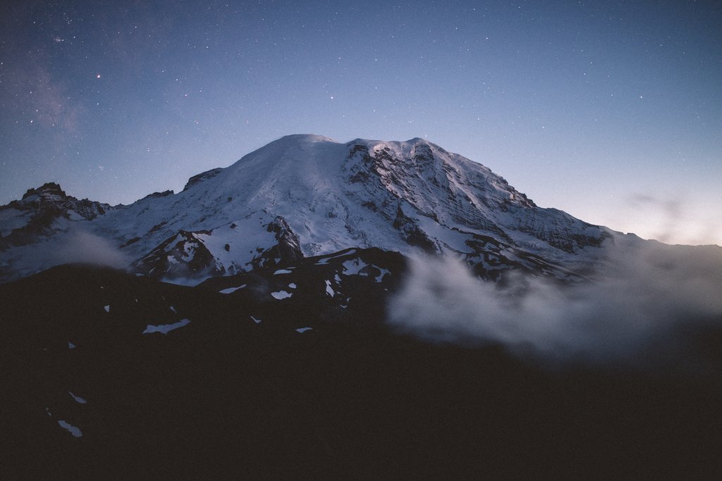
Mount Rainier is also considered one of the most dangerous volcanoes in the world due to the amount of lava and mudflow an eruption could produce.
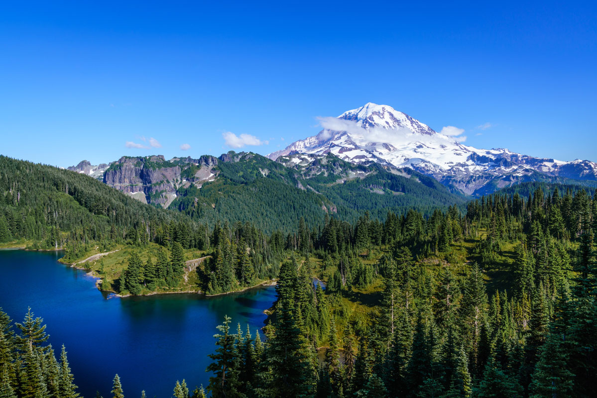
“The Mountain” – as locals refer to it – is often covered by clouds so seeing the volcanic peak tower above Washington’s Puget Sound region is a spectacular sight. The landscape of Mount Rainier is a diverse ecosystem, offering endless opportunities to explore nature. Within the national park and surrounding national forests, you can spot diverse wildlife, explore towering old-growth forests, wander the wildflower meadows, admire the power of glacier-fed rivers, and gaze at stunning vistas.
Note: The national park has four main entrances:
Here are some of the best viewpoints of this prominent peak:
Located in the Paradise area of the park, accessed from the Nisqually entrance, the views from the Paradise Jackson Visitor Center are expansive, with paved paths to viewpoints for those wanting an easy, short stroll. A longer hike along Skyline Trail offers even closer views of the mountain, with stunning meadows along the way. Strong, prepared hikers can venture on further to Camp Muir - the highest point you can reach on the mountain without a climbing permit.
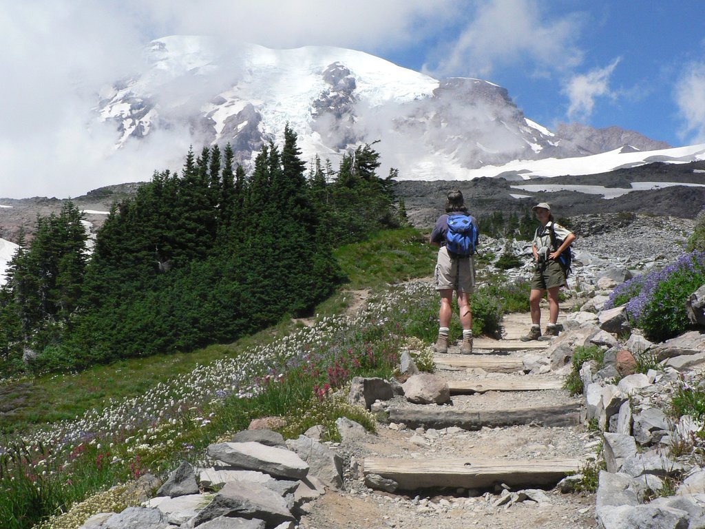
For views of the north side of Mount Rainier, head up the winding Sunrise Road to the Sunrise Visitors Center. Visitors can enjoy the views from the picnic area or take a short walk on the Sunrise Nature Trail to see the subalpine meadows or get a close up look at the Emmons Glacier on the Sunrise Rim Trail. More ambitious hikers have plenty of options for close-up views, including Burroughs Mountain or the Fremont Lookout - one of the only remaining fire lookouts left in the park.
3D map of Burroughs Mountain Trail
Known as the “quiet corner” of the park, there is no visitor center or services in this area. After reaching the Mowich Lake parking lot, visitors will have to hike for the best views in this area, but it’s worth the effort. For a hike with in-your-face-views, hike west to the Tolmie Peak Fire Lookout, it's a great spot to catch the sunrise or sunset and you can see glistening Eunice Lake below. The Spray Park trail is another beautiful option that includes stunning wildflower meadows and a full-on view of Mount Rainier to the southeast via the Eagle Cliff viewpoint.
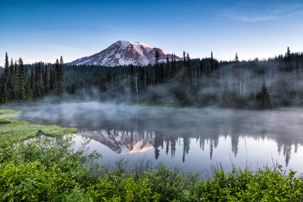
This seasonal road runs through the national park from Paradise to the Stevens Canyon entrance on the southeast side of the park. Drive along this road and stop for many photo ops or short walks to waterfalls, like Martha Falls. But for one of the best views of the mountain, be sure to stop at Reflection Lakes, it's a perfect picnic spot. Those wanting to stretch their legs and take in more views should check out the Bench and Snow Lakes trail.
Explore Mount Rainier National Park with the PeakVisor 3D Map and identify its summits.


14er
ultra
glacier
volcano
cascade-range-9000ers
washington-bulger
smoots-100
chemeketan-18-nw
mountaineers-6-peak-pin
mountaineers-5-peak-pin
cascade-volcanoes-pin
mazamas-16-nw-award
fred-beckey-great-peaks
washington-ultras
14er
ultra
glacier
volcano
cascade-range-9000ers
washington-bulger
smoots-100
chemeketan-18-nw
mountaineers-6-peak-pin
mountaineers-5-peak-pin
cascade-volcanoes-pin
mazamas-16-nw-award
fred-beckey-great-peaks
washington-ultras

