We use necessary cookies to make the website work, also they are used to understand site usage and make improvements.
Accept
Reject
PeakVisor
Explorer
Explorer
Ski Map
Hike Map
3D Map
Get PeakVisor App
Sign In
Search by GPS coordinates
Teleport
Latitude
N
S
°
'
''
Longitude
E
W
°
'
''
Units of Length
m/km
ft/mi
Explorer
Ski Map
Hike Map
3D Map
Search by GPS coordinates
Settings
Sign In
Contact us
GPS coordinates
Settings
Share
×
Copy Link
Copy Coordinates
Facebook
Twitter
Email
Scan the QR code and open PeakVisor on your phone
❤ Wishlist
×
Choose
Delete
A R Walden
Mountain
39
Mountain Hut
0
Mountain pass
0
Lake
1
Ultra
0
Highest check-in
Peak:
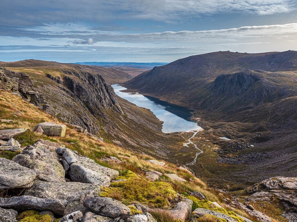
Stob Coire an t-Sneachda
Elevation:
1 176 m
Most prominent check-in
Peak:
Helvellyn
Prominence:
710 m
40 check-ins
By Date
By Date
By Elevation
By Prominence
Rannerdale Knotts
1698507743
355 m
(prom:
70 m
)
Back Tor
1693227518
437 m
(prom:
20 m
)
Mam Tor
1693224183
524 m
(prom:
62 m
)
Grindslow Knoll
1693053831
601 m
(prom:
15 m
)
Place Fell
1690458769
657 m
(prom:
259 m
)
Catstycam
1690384054
890 m
(prom:
80 m
)
Helvellyn
1690381791
950 m
(prom:
710 m
)
Striding Edge
1690377713
846 m
(prom:
30 m
)
Birkhouse Moor
1690374618
718 m
(prom:
27 m
)
Beetham Fell
1681562593
118 m
(prom:
12 m
)
Loughrigg Fell
1672316784
336 m
(prom:
162 m
)
Todd Crag
1672313122
214 m
(prom:
22 m
)
School Knott
1672149659
246 m
(prom:
31 m
)
School Knott Tarn
1672149276
201 m
Grandsire
1672148496
251 m
(prom:
77 m
)
Sallows
1666788370
515 m
(prom:
66 m
)
Sour Howes
1666786189
483 m
(prom:
36 m
)
Seat Sandal
1661687331
737 m
(prom:
154 m
)
Hartsop Above How
1661612918
586 m
(prom:
28 m
)
Hart Crag
1661608638
822 m
(prom:
49 m
)
Fairfield
1661605579
873 m
(prom:
297 m
)
Cofa Pike
1661604128
823 m
(prom:
33 m
)
St Sunday Crag
1661599367
841 m
(prom:
175 m
)
Birks
1661595867
622 m
(prom:
18 m
)
Arnison Crag
1661590917
433 m
(prom:
30 m
)
Sheffield Pike
1645878453
675 m
(prom:
89 m
)
Heron Pike
1645876644
612 m
(prom:
32 m
)
Glenridding Dodd
1645791465
442 m
(prom:
41 m
)
Ling Fell
1640736000
375 m
(prom:
99 m
)
Sale Fell
1640694081
359 m
(prom:
137 m
)
Barrow
1640613310
455 m
(prom:
71 m
)
Ellishaw Hill
1636813971
269 m
(prom:
13 m
)
Beamsley Beacon
1636810909
397 m
(prom:
4 m
)
Limestone Hill
1634998644
226 m
Black Fell
1634997179
323 m
(prom:
120 m
)
Wansfell
1634910141
487 m
(prom:
32 m
)
Wansfell Pike
1634908926
482 m
(prom:
23 m
)
Stob Coire an t-Sneachda
1629117766
1 176 m
(prom:
76 m
)
High Pen
1609242529
475 m
(prom:
20 m
)
Lad Hows
1598692811
415 m
(prom:
3 m
)
Wainwrights
All summits:
21 out of 214
Nuttalls
All summits:
11 out of 446
Hewitts of Great Britain
All summits:
8 out of 335
Marilyns of Great Britain
All summits:
6 out of 1623
Furths of England and Wales
All summits:
1 out of 21
Britain's 40 Finest Mountains
All summits:
1 out of 40
United Kingdom
Independent peaks:
1 out of 489
England
Independent peaks:
1 out of 34
Scotland
Grampian Mountains
Lake District National Park
Independent peaks:
1 out of 13
The English Lake District WHS
Independent peaks:
1 out of 13
Abernethy National Nature Reserve
All summits:
1 out of 37
Cairngorms National Park
Yorkshire Dales National Park
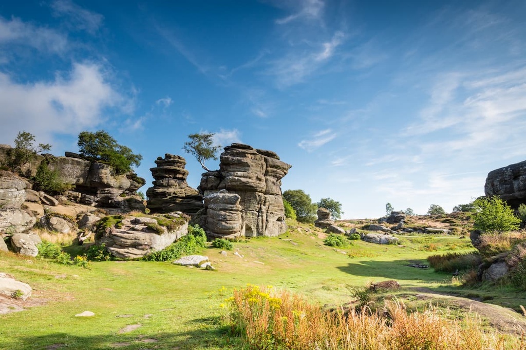
Nidderdale AONB
All summits:
2 out of 205
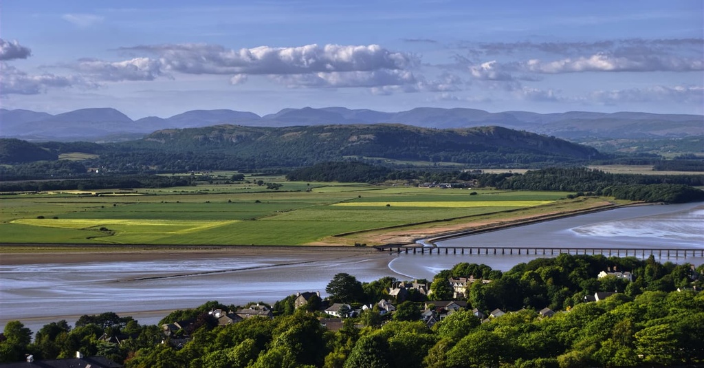
Arnside & Silverdale AONB
All summits:
1 out of 16
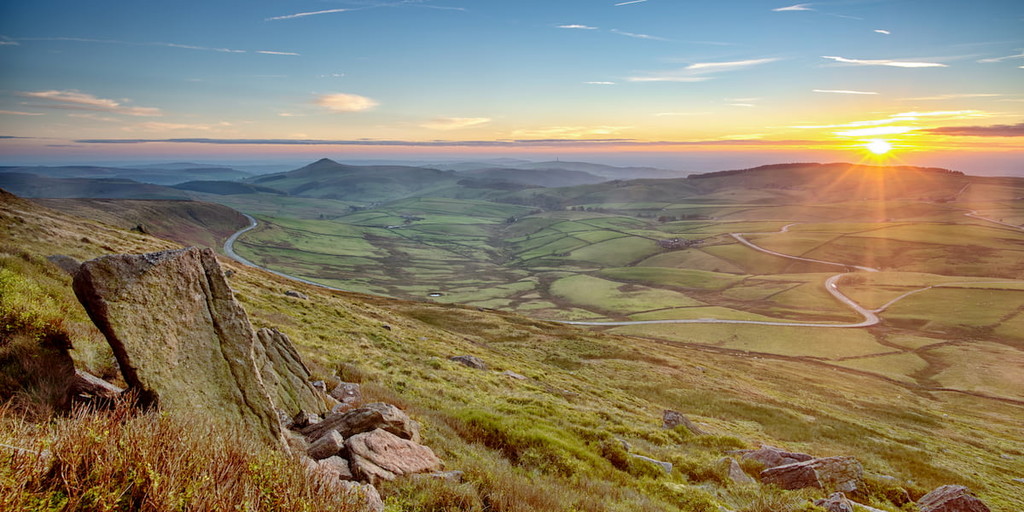
Peak District National Park
All summits:
3 out of 370
PeakVisor for iOS and Android
Be a superhero of outdoor navigation with state-of-the-art 3D maps and mountain identification in the palm of your hand!
Scan the QR code to download PeakVisor mobile app