Scan the QR code and open PeakVisor on your phone
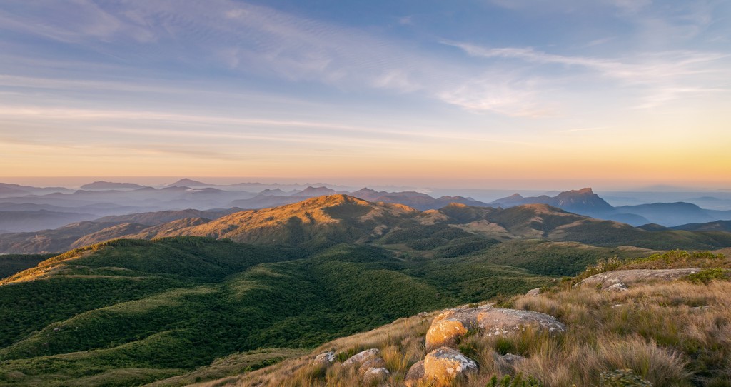
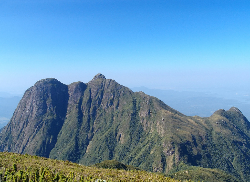
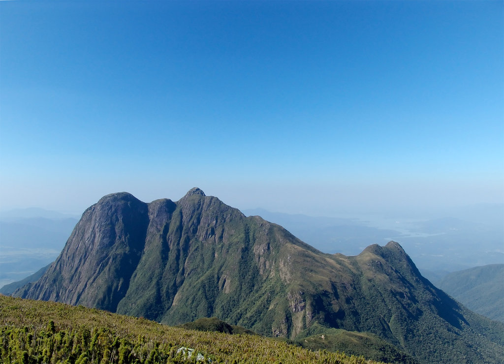
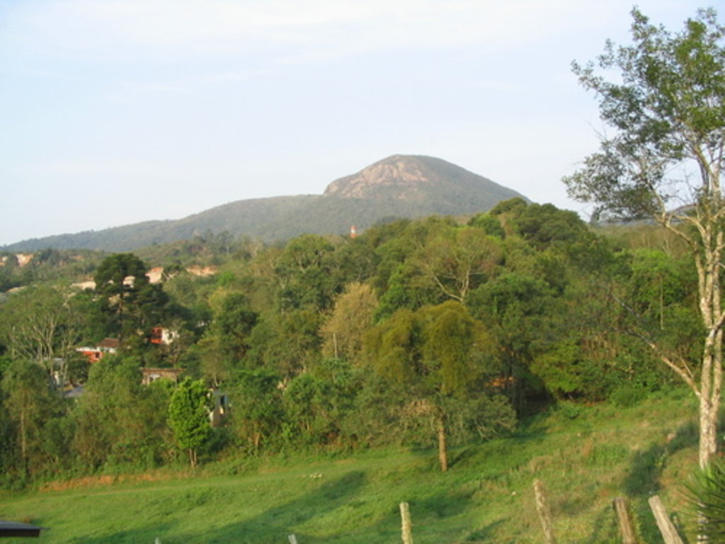
The Serra do Mar is a mountain system of several ranges and more than 1,500 km (932 mi) long located south of the city of São Paulo in Southern Brazil on the shores of the Atlantic Ocean. The main feature of the mountain system, whose name translates as Sea Ridge, is that they correspond to the vast Serra do Mar tropical coastal rainforests ecoregion of the larger South American Atlantic forest biome with incredible natural value. Before, large parts of the forests were chopped down, but is now protected and developed by the state through Serra do Mar State Park and other natural areas in these mountains. There are 409 named mountains in the Serra do Mar. The highest and most prominent mountain is Pico Paraná (1,877 m / 6,158 ft).