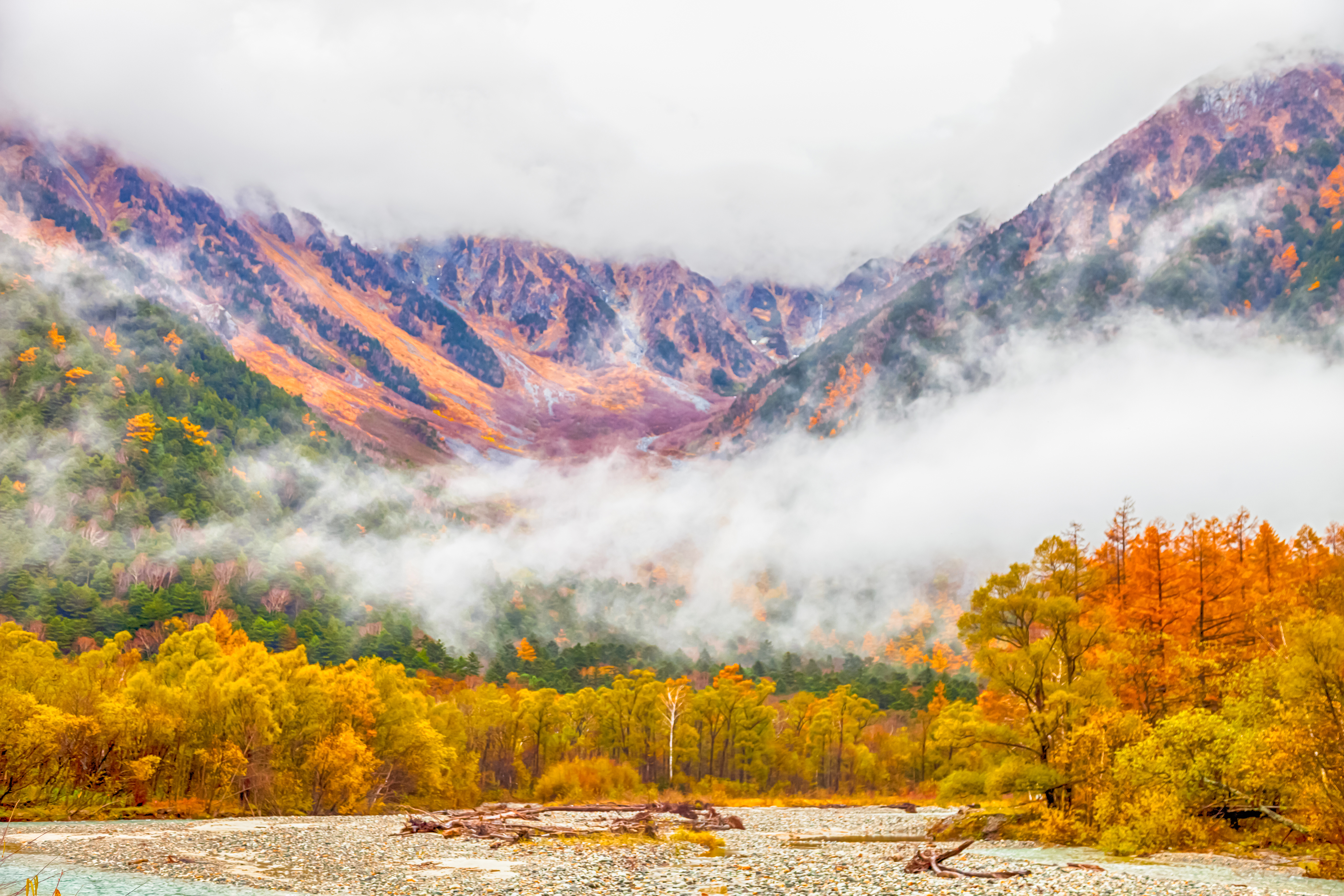
Sekida Mountains are a mountain range of rare beauty located on the northernmost point on the border between Nagano prefecture and Niigata prefecture. The range extends for /80km from Mt. Madarao in the city of Iiyama to Chikuma River, drawing an elegant arch that reaches an average altitude of 1000m. Despite the moderate elevation, the area is protected from winter winds, but heavy snow falls on the mountains and villages nearby that barely melt until June, creating a magical atmosphere even in summer. The range is rich in beech forests. Walking along the ridge from the Niigata side the range looks like a sharp cliff, while from Nagano side it looks gentle and it is possible to spot small ponds and wetlands.
Major Hiking Area
Shinetsu trail – Being extended for 80km and located in the cradle of Japanese long trekking routes, this it is the most popular long-hike route of the region. which is also the. Following the path of the Sekida Mountains' ridge, it connects Mt. Madarao to Mt. Amamizu traversing all the major peaks of the range. It is a great place to discover hidden forests and secret spots of Nagano prefecture and Niigata prefecture, were flowers of rare beauty blossom undisturbed. More than a trail for passionate climbers, this is a trail for walkers who do not mind not reaching a mountaintop but rather enjoy the act of discovering the variety of nature. The route is historically significant because it was part of an ancient road used to bring salt, sea products, canola oil and paper from the sea to villages on the mountains. For this reason, all the trails are well-marked. The maintenance is the result of the work of NPO and volunteers, who officially opened the trail in 2004. It takes 6 days to hike the all the 6 sections (each section is about 10km long, feasible in 6h) and numerous accommodations can be found along the way. It easily reachable from Tokyo in 2h, stopping at Iiyama station. If you do not feel confident you can ask for a registered guide who will escort you for the entire journey.
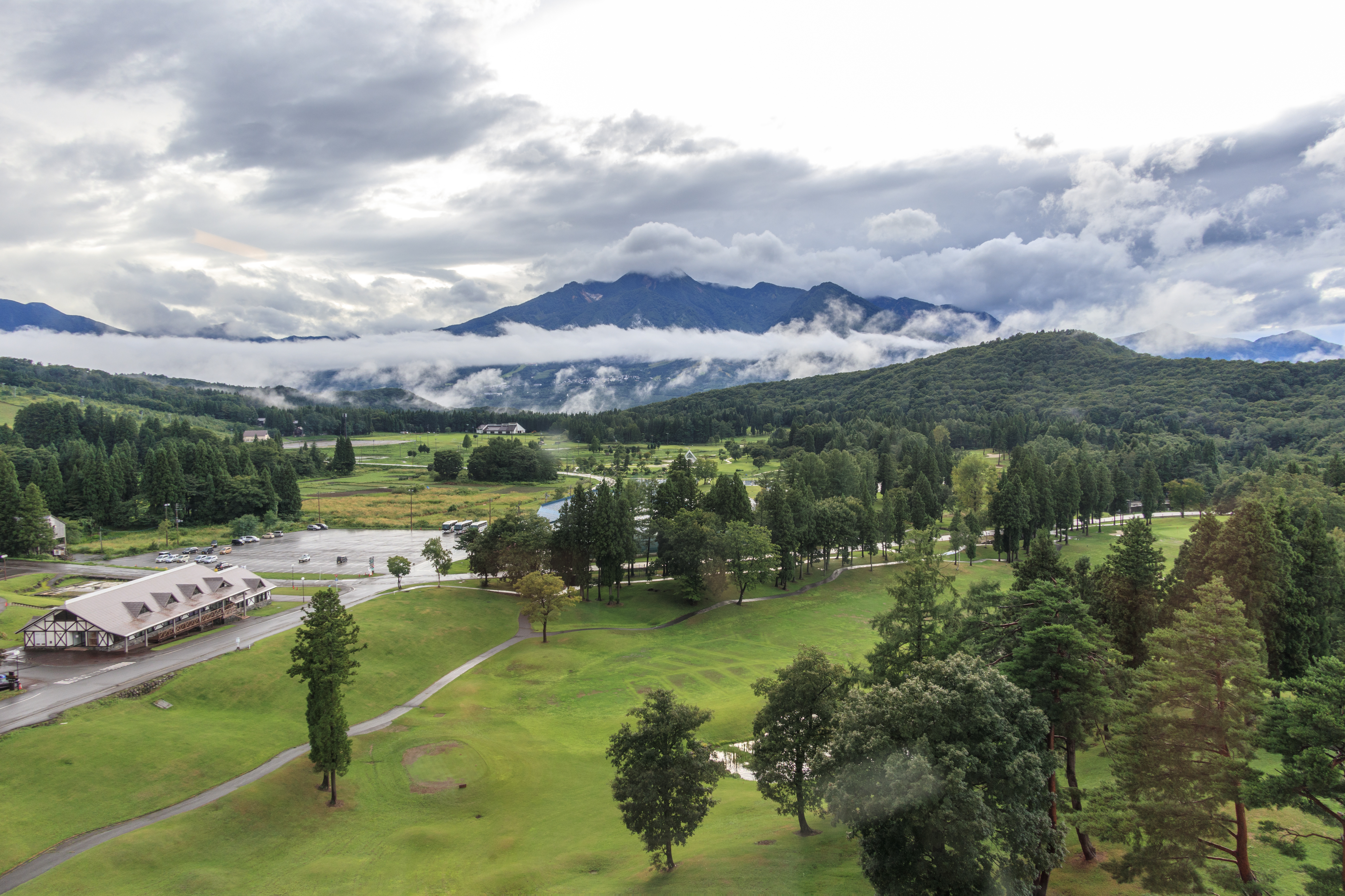
Mt. Madarao (斑尾山1,382m) is one of the five peaks of the Hokushingogaku (北信五岳), together with Mt. Myōkō, Mt. Kurohime, Mt. Iizuna and Mt. Togakushi. Among the major trails, there are Numa no Hara Trail (1,5km, 40m) Akaike Trail (6km, 1h45m), Lake Nozomi Ring Trail (5,3km, 2h). It is famous mainly for winter sports. In fact, Mt. Madarao hosted Japan’s first Freestyle Skiing Competition. At present, there are has 30 separate courses and 15 ski lifts in the main ski area, which also features a unique bowl-shape.
Mt. Kurokura (黒倉山1,240m) is located beside Mt. Nabekura (1,107m), in Niigata prefecture. Even if this mountain is not so much popular, it offers a peaceful vision on a beech forest and a small lake, both located along the main trail, feasible in 1h40. If you are planning a longer hike, you may choose a combined route from Sekida Pass to Mt. Nabekura, planning a stop at Mt. Kurokura. The entire route takes about 2h30 to be completed.
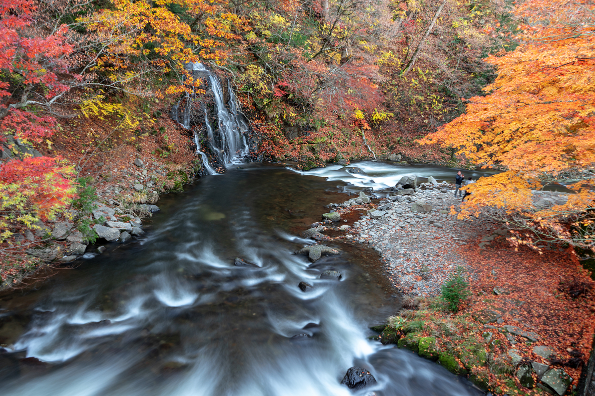
Mt.Hishigatake (菱ヶ岳1,129m) So-called for the triangular shape resembling the leaf of a Hishi plant (Trapa natans) offers two different trails. The Eastern trailhead is located beside the Green Park Buna no Mori and goes up following a ski run. Alternatively, a gondola lift will lift hikers up to the summit. The usual course includes a stop at the Fudo Waterfalls located near the Western trailhead, from where the Eastern Trail is reached in 2h. Another option is to reach the summit following the trail branching off the western side.
Mt.Hakama(袴岳1,140m) is located on the Southern side of Sekida Mountains, on the northern side of Mt. Madarao. Since it is an area of heavy snowfalls it is either not particularly popular and isolated. The mobile phone may not function properly here. There is a 6.2km ring trail starting in the vicinity of Lake Aka, which takes 3h30m to be completed. The terrain is characterized by a series of ups and downs. Also, the presence of lush nature and rare species of animals like the Forest Green Tree Frog or the Japanese Black Salamander makes this environment unique and appealing.
Mt. Sanpō (三方山1,136m) and Mt. Amamizu (天水山1,079m) are located beside one another. Usually, these mountains are being climbed together. In case of heavy snow, it takes about 6h to complete the trail, while it takes only 5h during the warm season. Part of the trail leading to the summit of Mt. Amamizu is paved or gravelled, which makes it particularly suitable even for beginners.
Major Cities and Facilities
The region is efficiently connected to the capital by bullet trains. Hikers who want to approach the range from the Northern side are recommended to get on the Joetsu Shinkansens, stopping at Echigo-Yuzawa Station and move to Matsudai Station or Mushikawa-Osugi Station through the Hokuetsu Express Hokoku line. Hikers interested in the central and southern part of the range, should take the Hokuriku Shinkansen and stop at Iiyama Station. From there, they can chose to take a bus, a local train or a taxi.
This 3D model of Sagarmatha National Park in Nepal was made using the PeakVisor app topographic data. The mobile app features higher precision models worldwide, more topographic details, and works offline. Download PeakVisor maps today.
Download OBJ model
PeakVisor
The download should start shortly. If you find it useful please consider supporting the PeakVisor app.
PeakVisor for iOS and Android
Be a superhero of outdoor navigation with state-of-the-art 3D maps and mountain identification in the palm of your hand!