Scan the QR code and open PeakVisor on your phone
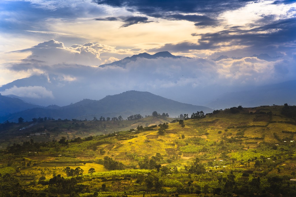
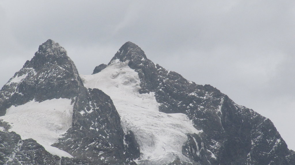
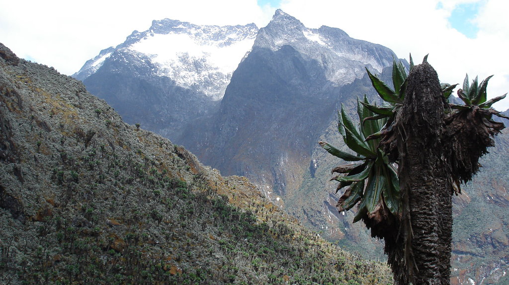
The Rwenzori Mountains are a relatively small but historically important mountain range about 120 km (74.5 mi) long, located in Central and East Africa for the most part in Uganda, but also in the neighboring Democratic Republic of Congo. The first major feature of the range is that it has long been thought to be the source of the great Nile River. In fact, the river originates in nearby Victoria Lake, Africa's largest by area. The second feature is, according to some sources, the third highest mountain of the continent, Mount Stanley—Margherita (5,109 m / 16,761 ft). The range is also the eponymous Rwenzori Mountains National Park, a UNESCO site. In total, there are 140 named mountains in Rwenzori. The highest and the most prominent mountain is Nyabubuya (5,155 m / 16,912 ft).