
Scan the QR code and open PeakVisor on your phone
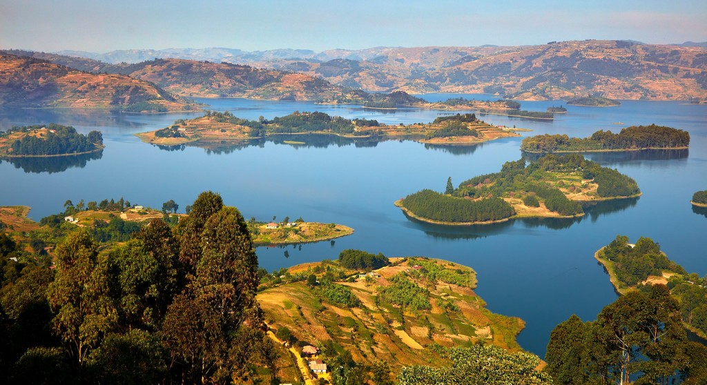
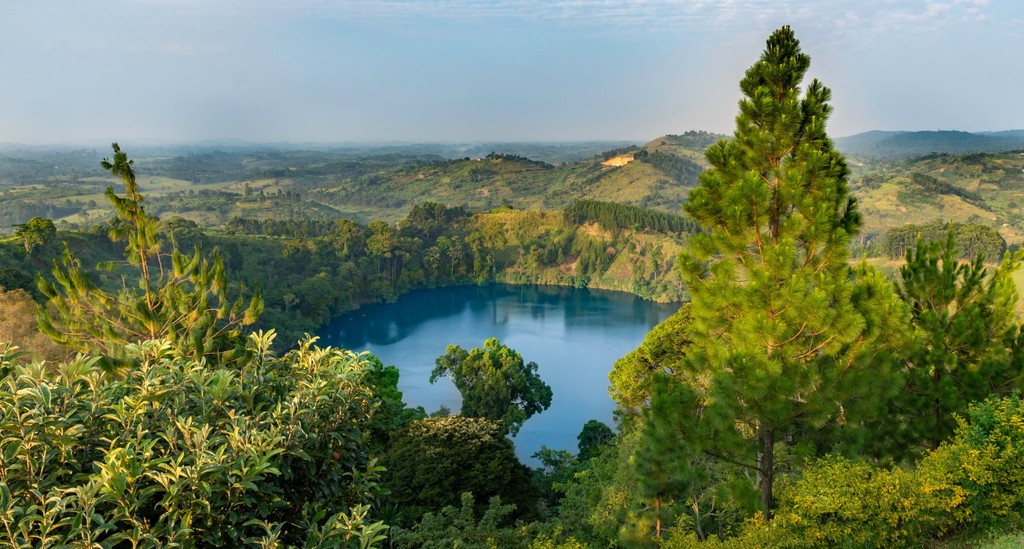
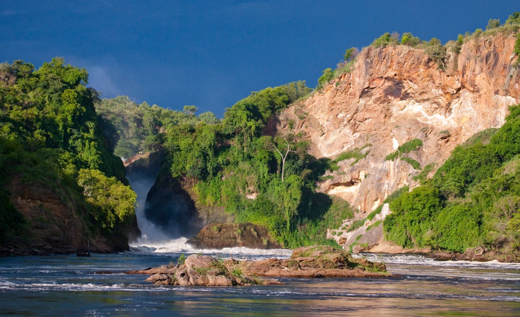
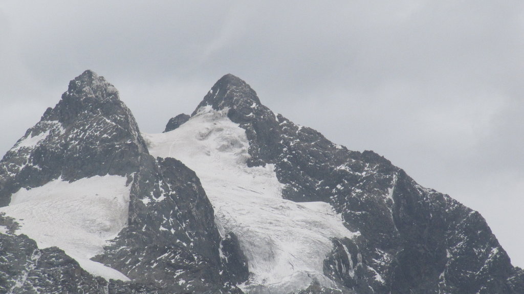
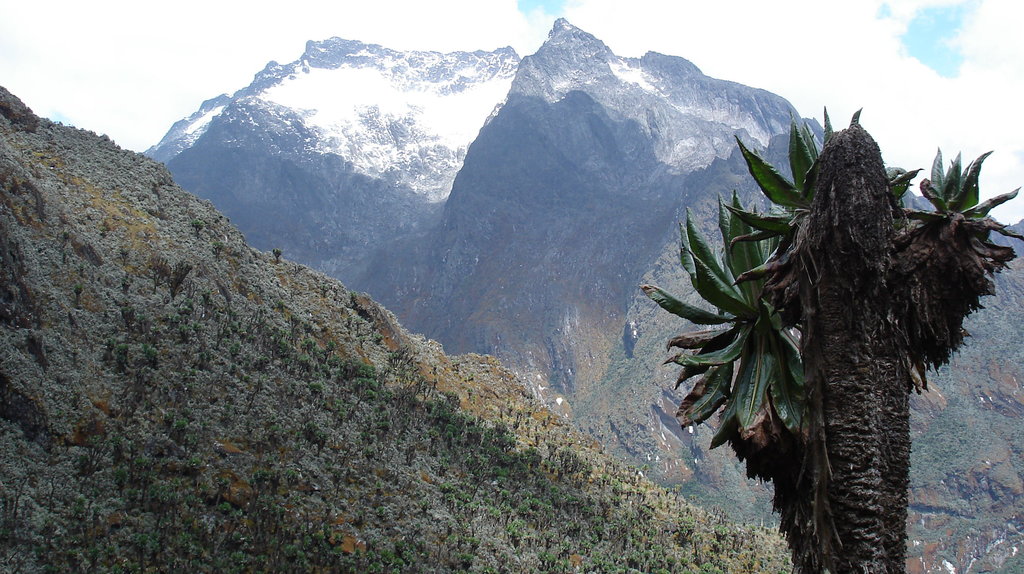
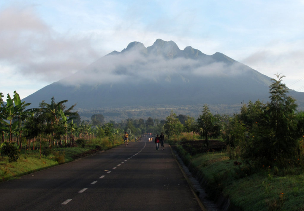
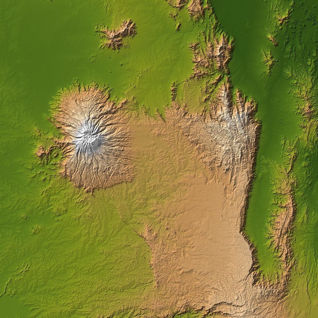
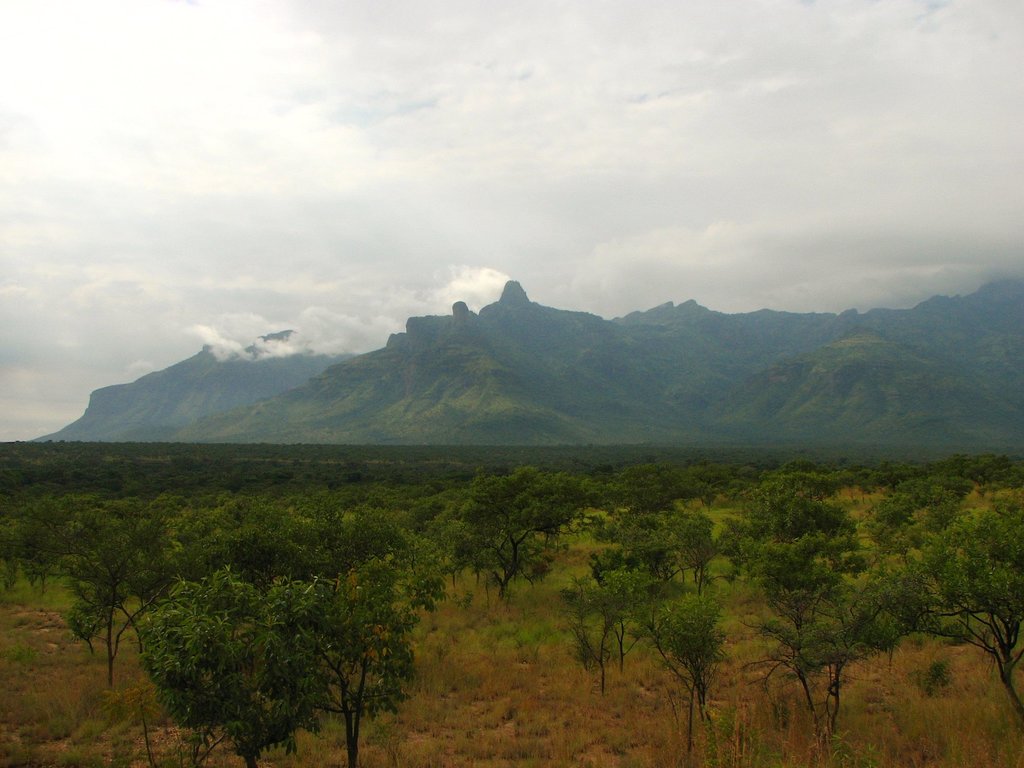
Uganda is a relatively large country in Central Africa. The main feature of Uganda mountains is the Rwenzori Range, which has long been thought to be the source of the great Nile River. In fact, the river originates in nearby Victoria Lake, Africa's largest by area. Here is also the highest and the most prominent ulta-mountain of Uganda, Nyabubuya (5,155 m / 16,912 ft). However, Rwenzori occupies only a small part of the country, which is "divided" between several other mountain ranges with other ulta-peaks: Mount Muhabura (4,127 m / 13,540 ft) in the Udzungwa Mountains in the east, Mount Elgon (4,321 m / 14,176 ft) in the Virunga Mountains in the south, and others. There are 2854 named mountains in Uganda.

ultra
volcano
africa-4000ers
uganda-ultras
rwanda-ultras


