
Scan the QR code and open PeakVisor on your phone
One of Oregon’s lesser-known set of summits, the Oregon Canyon Mountains, lie east of the Trout Creek Mountains in Malheur County.
Most of the land in the Oregon Canyon Mountains is owned by the Bureau of Land Management. Together, the Oregon Canyon Mountains and Trout Creek Mountains encompass seven Wilderness Study Areas: Twelvemile Creek, Fifteenmile Creek, Oregon Canyon, Willow Creek, Mahogany Ridge, Red Mountain, and Disaster Peak. Two additional Wilderness Study Areas have also been proposed by citizens: Table Mountain and Catlow Peak.
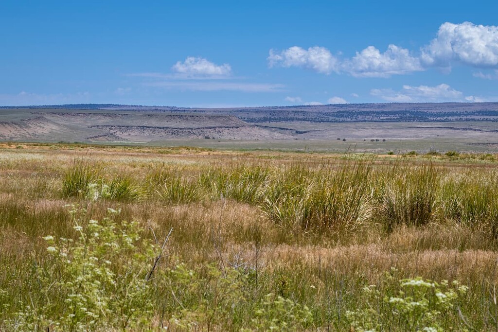
The Oregon Canyon Mountains are characterized by beautiful streams, woody riparian habitats, and significant aspen and mountain mahogany woodlands. The area serves as some of the best deer habitat in the region and supports a half-dozen at-risk plant species. In 1987, Bighorn sheep were also successfully introduced into the Oregon Canyon Mountains.
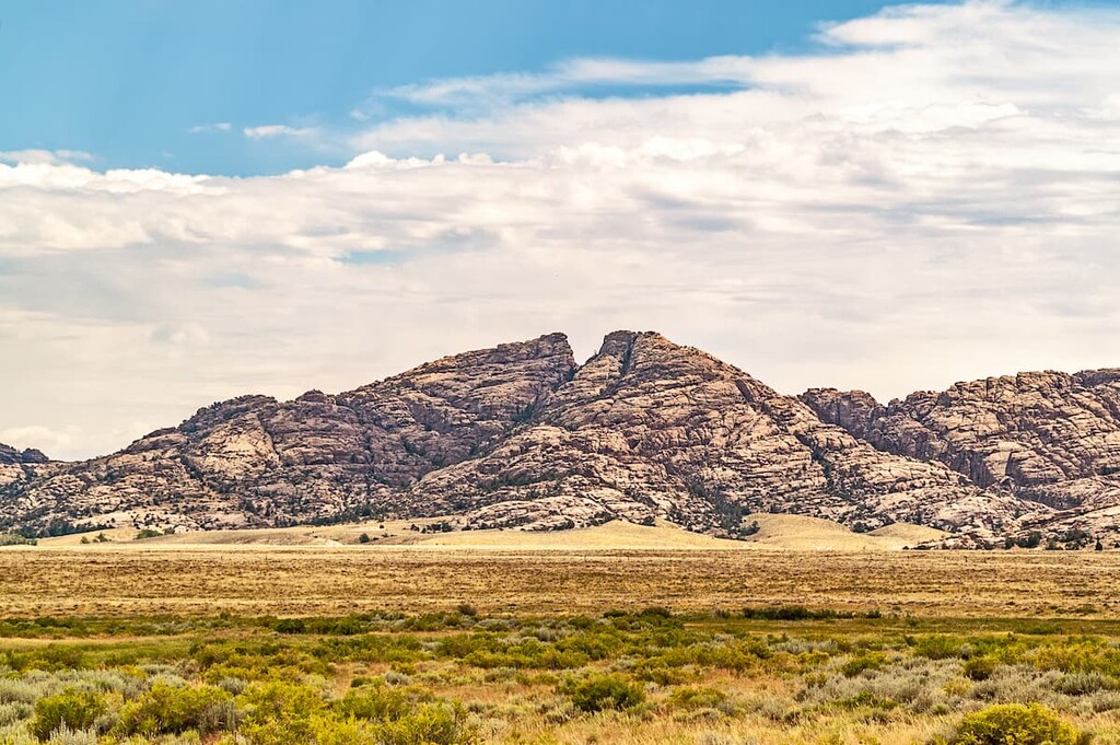
The tallest peak in the range is Twin Peaks, which lies between the Fifteenmile Creek and Oregon Canyon WSA. However, the Stevenson Benchmark, which sits at over 8,000 feet, is considered the highpoint of the range.
Hiking is extraordinarily rare in this area. This region is so remote that most Oregonians haven’t heard of it. Visitors are welcome to visit the Stevenson Benchmark, which can be accessed via a 4x4 road from June to October or via. 9-mile hike. The benchmark offers sweeping views of the Trout Creek and Santa Rosa Mountains.
Another scenic, yet remote, natural treasure in this region is the Whitehorse Creek Canyon. Whitehorse Canyon is one of the most incredible gorges in Oregon, yet few visitors ever make the trek to see it. Only a handful of pure native trout remain in the Pacific Northwest and one of them, the Whitehorse cutthroat trout, lives only in the Whitehorse Creek and other small streams in the Trout Creek and Oregon Canyon Mountains.


