Scan the QR code and open PeakVisor on your phone
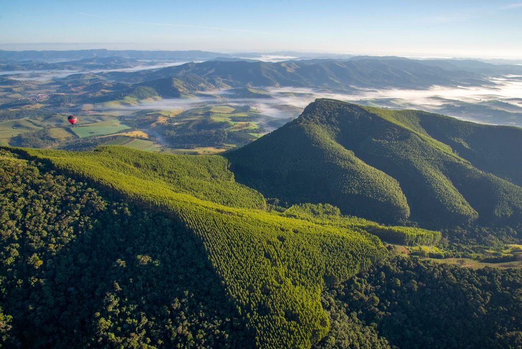
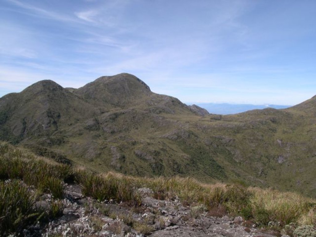
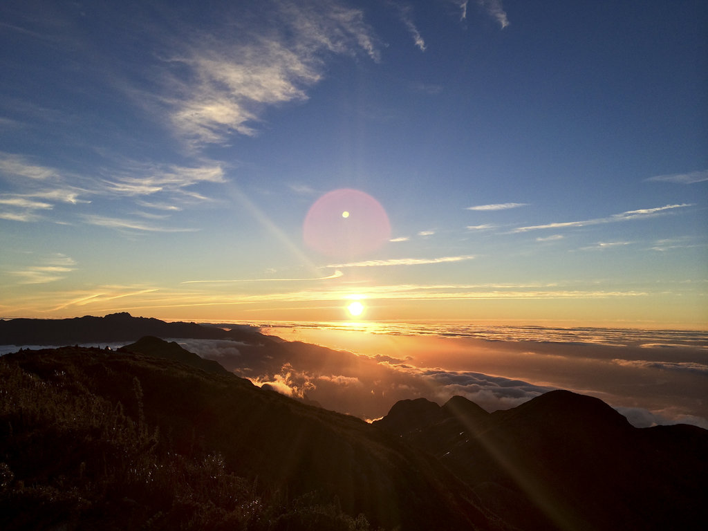
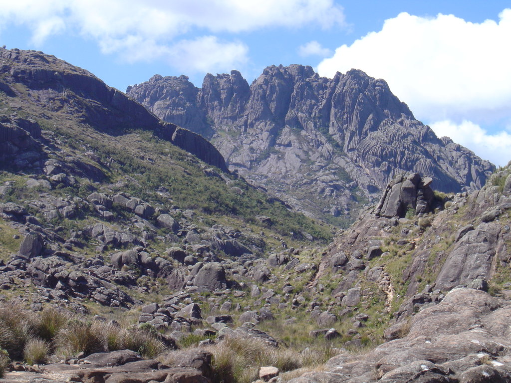
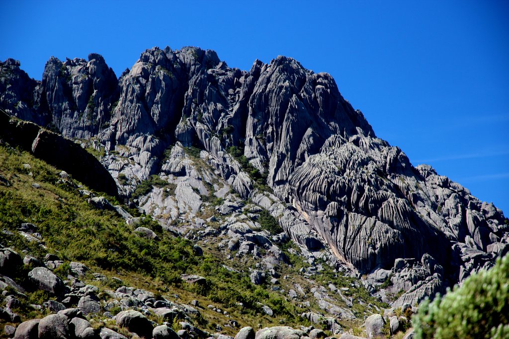
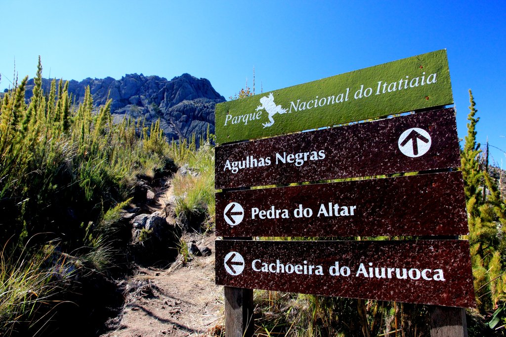
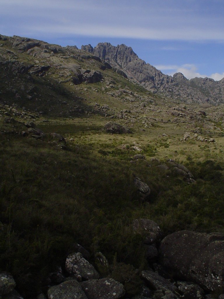
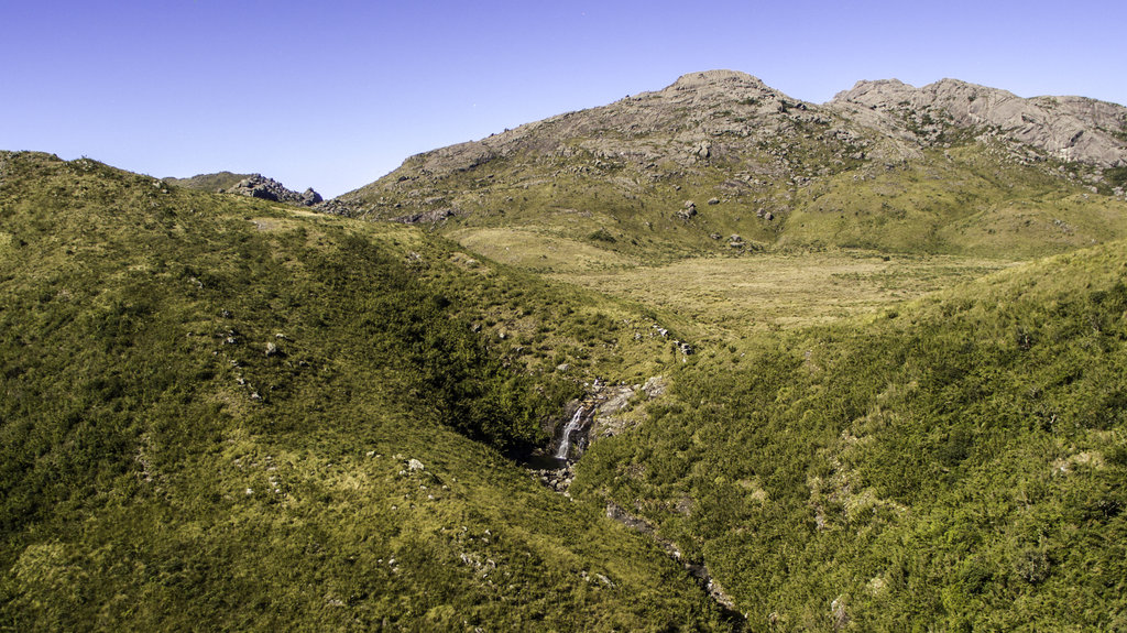
The Mantiqueira Mountains are a relatively small mountain range of 320 km (200 mil) long, which is located along the Atlantic coast between the cities of Rio de Janeiro and São Paulo in Brazil. A major feature of the mountain range is the large number of springs that give rise to some of the region's largest rivers and serve as important sources of drinking water for these and other cities and resorts including Brazil's highest mountain city, Campos do Jordão (1,628 m / 5,341 ft). Part of the range is also the Serra da Mantiqueira Environmental Protection Area. There are 649 named mountains in the Mantiqueira Mountains. The highest and most prominent mountain is Pedra da Mina (2,798 m / ft).