Scan the QR code and open PeakVisor on your phone
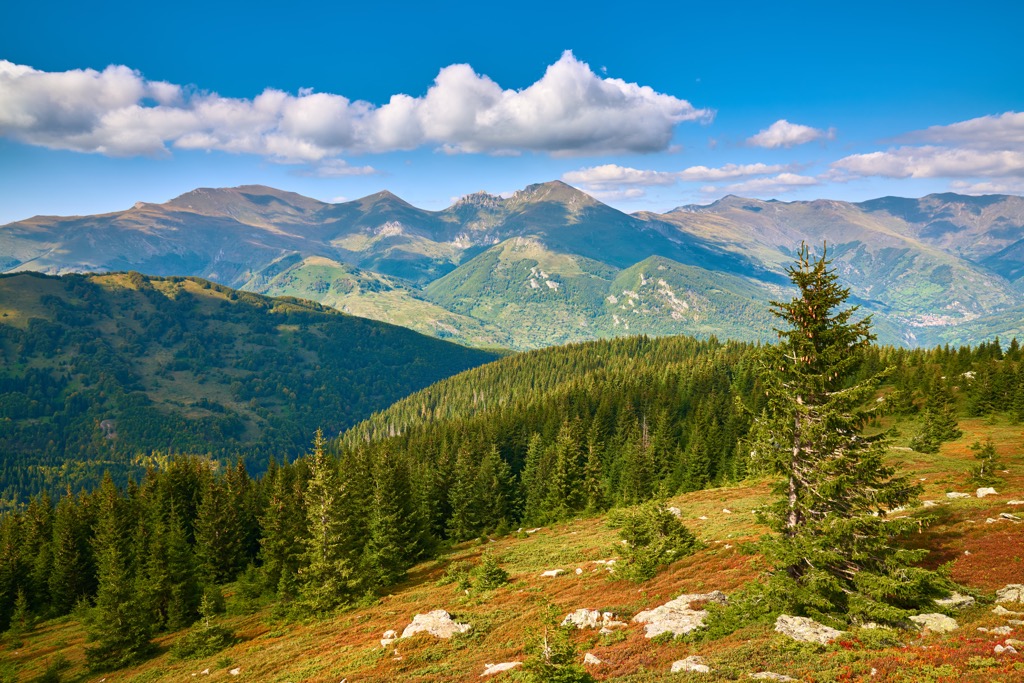
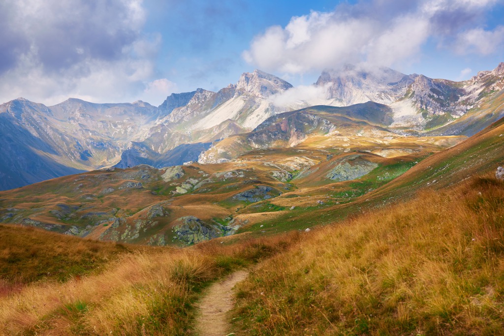
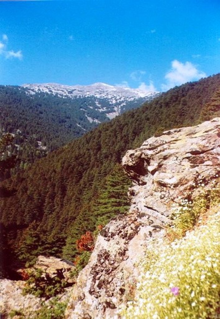
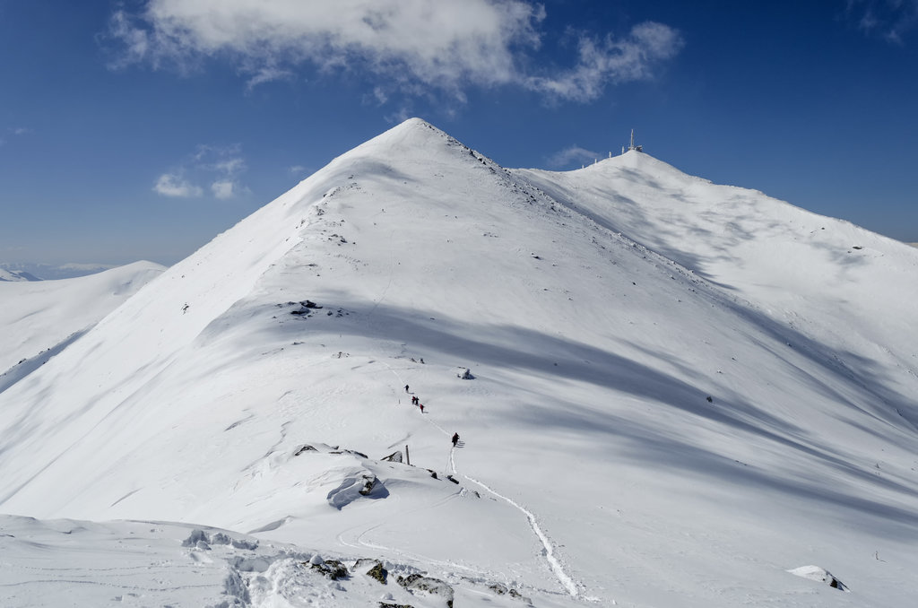
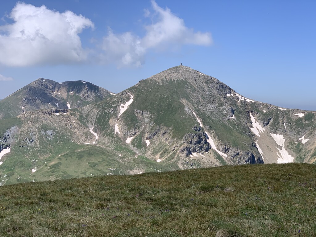
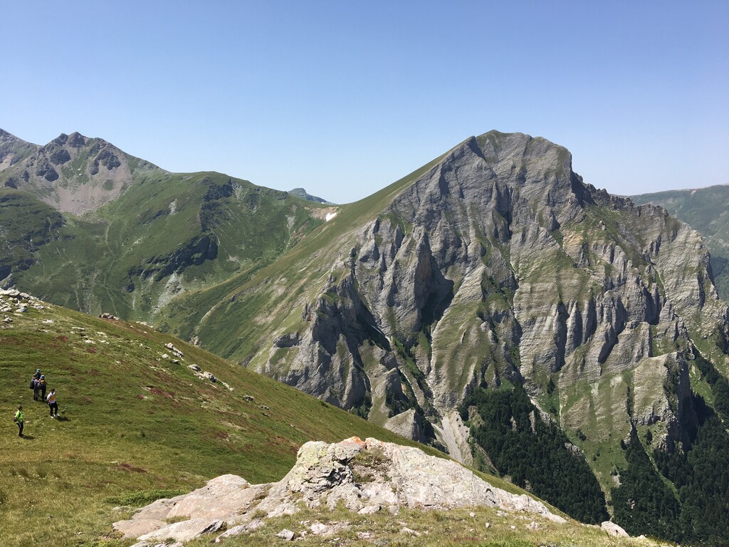
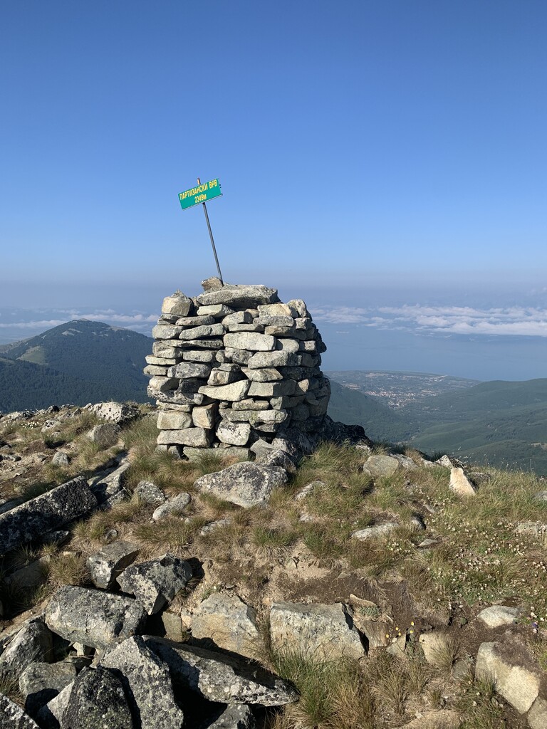
The Macedonian Mountains are a common name for the mountains of North Macedonia, a country located on the Balkan Peninsula in southern Europe. It should not be confused with the regions of Macedonia and Thrace, as well as Epirus and Western Macedonia in neighboring Greece. The main feature of the mountains of Macedonia is their two main ranges: the Šar Mountains, a continuation of the larger Dinaric Alps covering most of south of Europe; and Osogovo-Belasica, a continuation of the larger Rila-Rhodope Mountains between Bulgaria and Greece. In total there are 4515 named mountains in the Macedonian Mountains. Bakardan (2,700 m / 8,858 ft) is the highest point. The most prominent mountain is Solunska Glava (2,589 m / 8,494 ft).