
Scan the QR code and open PeakVisor on your phone
The Homathko Icefield include 108 named peaks. The highest is Mount Queen Bess at 3,298 m. Other notable peaks include Good Hope Mountain, Reliance Mountain and Mount Grenville.
Located deep in the Coast Mountains, the Homathko Icefield is one of the largest icefields south of the Arctic Circle. Homathko, which was officially named Homathko Snowfield from 1950 to 1976, spans an area of over 770 square miles between Chilko Lake and the Homathko River.
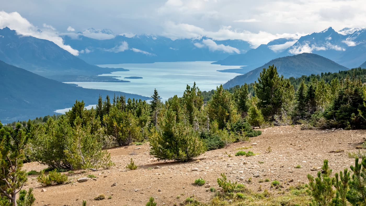
Measuring roughly 15 by 20 miles, the Homathko Icefield lies across what is referred to as the Great Canyon, a portion of the Homathko River that travels through the heart of the Pacific Ranges between the Chilcotin District and the Central Coast.
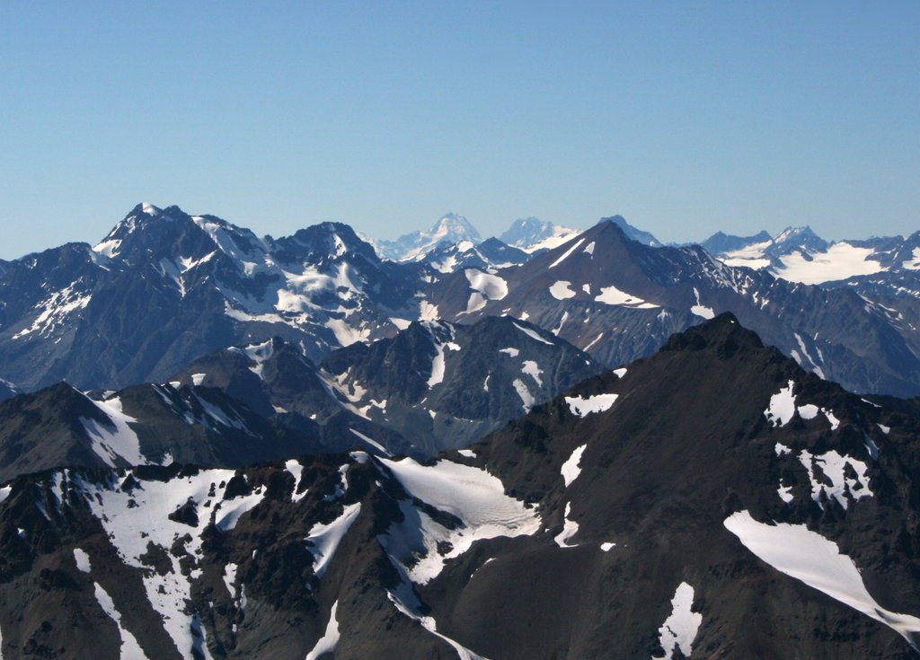
The icefield, which sits at about 7,000 to 8,000 feet, does not contain many notable summits, though Mount Queen Bess and Mount Grenville both lie on its periphery. Homathko’s highest summit is Mount Grenville, which sits at the southern edge of the icefield in a group of summits named for figures of the Elizabethan era, including Armada Peak, Burghley Peak, Howard Peak, Walsingham Peak, and Galleon Peak.
The Homathko icefield is flanked by the Waddington group, which contains renowned summits like Mount Waddington and Monarch Mountain, two of the highest peaks in the Coast Mountains.The Lillooet Icecap and the Compton Neve lie to the southeast of Homathko, across the Southgate River.
Though several of the summits surrounding the icefield have been climbed, the Homathko icefield is notoriously difficult to access and is rarely visited.

North of Bute Inlet, Homathko Camp is touted as the perfect destination for fishing, rock climbing, kayaking, and hiking expeditions. Homathko Camp offers food and accommodations for up to 30 people and is generally the basecamp for backcountry adventurers. There are three types of accommodations to choose from: Private rooms, fully furnished trailers, and campsites. Homathko Camp is also home to forestry and scientists working in the Homathko Valley.
Nestled 38 miles up the remote Bute Inlet, the Bute Inlet Lodge is a serene destination beloved for its fantastic saltwater and freshwater fishing, paddling, wildlife viewing, and awe-inspiring summits. The lodge is incredibly remote, making it ideal for those looking for a peaceful getaway in the backcountry. The lodge can accommodate groups of up to 10 people and must be accessed via a water taxi, floatplane, or helicopter.


-R4.jpg)
The highest peak in the Homathko Icefield is Mount Queen Bess, at 3,298 m.
The Homathko Icefield have 108 named peaks.


