Scan the QR code and open PeakVisor on your phone
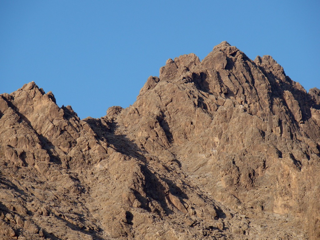
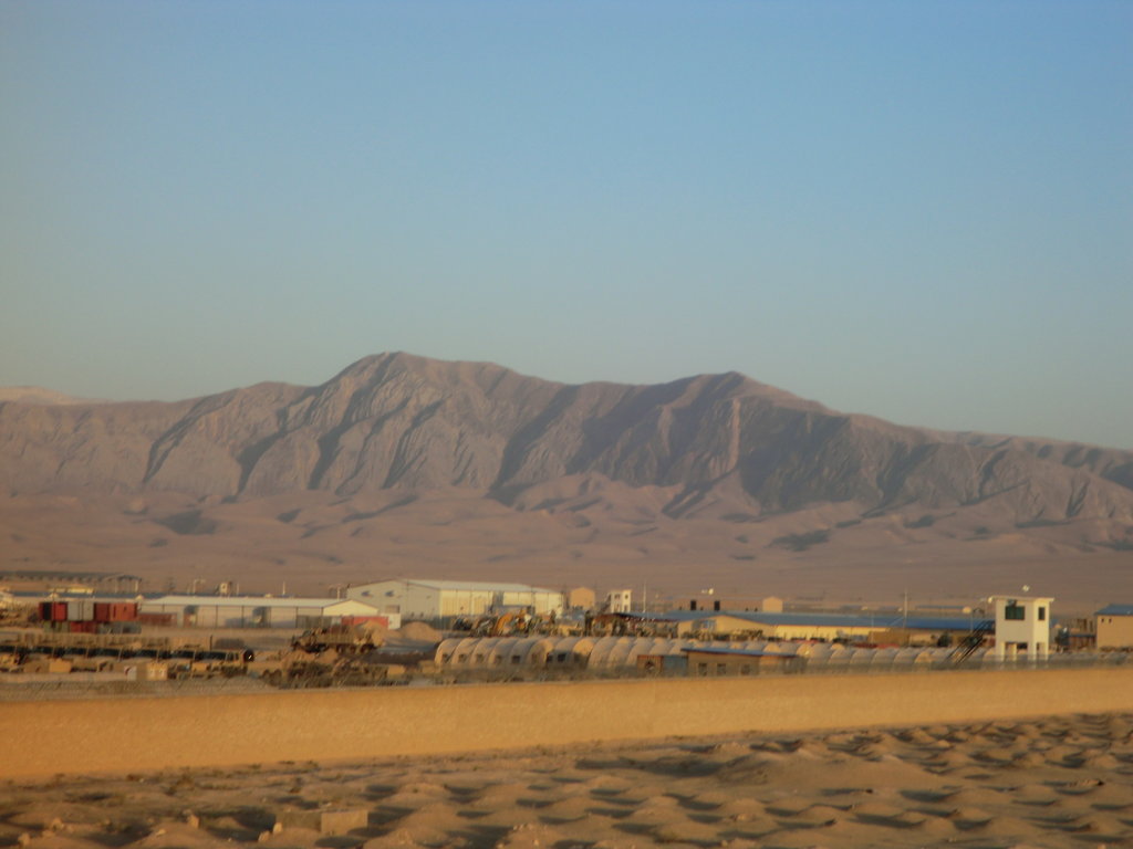
The Afghanistan Ranges is a common name for several mountain ranges located in the central part of Afghanistan, the country between Central and South Asia, that is, entirely on its territory. The main feature of these ranges is their highest and the most prominent mountain, Shah Fuladi (5,064 m / 16,614 ft). The country's more famous mountain ranges such as the Hindu Kush Range, a third-highest mountain system in the world, are located on its borders and extend to other ranges: the Pamir Mountains, the Karakoram, and the Himalayas. In total, there are 8896 named mountains in the Afghanistan Ranges.