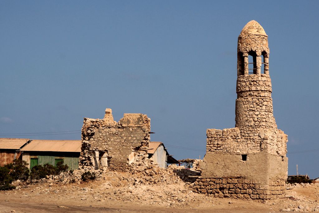
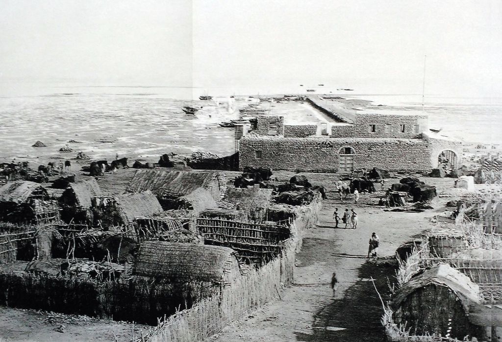
Zeila (Somali: Saylac, Arabic: زيلع, romanized: Zayla), also known as Zaila or Zayla, is a historical port town in the western Awdal region of Somaliland. In the Middle Ages, the Jewish traveller Benjamin of Tudela identified Zeila with the Biblical location of Havilah. Most modern scholars identify it with the site of Avalites mentioned in the 1st-century Greco-Roman travelogue the Periplus of the Erythraean Sea and in Ptolemy, although this is disputed. The town evolved into an early Islamic center with the arrival of Muslims shortly after the Hijrah. By the 9th century, Zeila was the capital of the early Adal Kingdom and Ifat Sultanate in the 13th century, it would attain its height of prosperity a few centuries later in the 16th century. The city subsequently came under Ottoman and British protection in the 18th century. Up until recently Zeila was surrounded by a large wall with five gates: Bab al Sahil and Bab al-jadd on the North. Bab Abdulqadir on the East: Bab al-Sahil on the west and Bab Ashurbura on the south. Zeila falls in the traditional territory of the ancient Somali Dir clan. The town of Zeila and the wider Zeila District is inhabited by the Gadabuursi and Issa, both subclans of the Dir clan family.
We use GPS information embedded into the photo when it is available.
3D mountains overlay
Adjust mountain panorama to perfectly match your photos because recorded by camera photo position might be imprecise.
Move tool
Rotate tool
Zoom
More customization
Choose which peak labels should make into the final photo and what photo title should be.
Next
Photo Location
Satellitte
Flat map
Relief map
Latitude
Longitude
Altitude
OR
Latitude
°'''
Longitude
°'''
Apply
Register Peak
Peak Name
Latitude
Longitude
Altitude
Register
Teleport
PeakVisor
This 3D model of Sagarmatha National Park in Nepal was made using the PeakVisor app topographic data. The mobile app features higher precision models worldwide, more topographic details, and works offline. Download PeakVisor maps today.
Download OBJ model
PeakVisor
The download should start shortly. If you find it useful please consider supporting the PeakVisor app.
PeakVisor for iOS and Android
Be a superhero of outdoor navigation with state-of-the-art 3D maps and mountain identification in the palm of your hand!