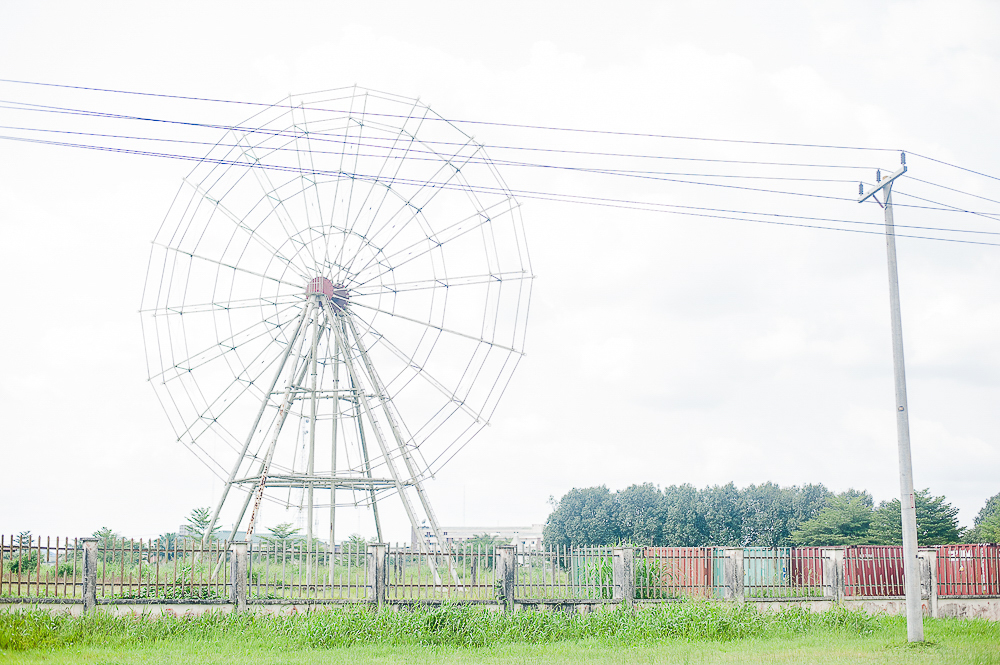
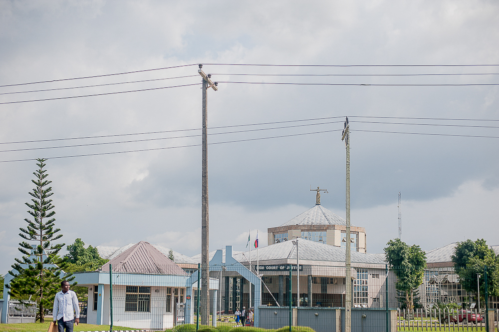
Yenagoa is a Local Government Area and capital city of Bayelsa State, Southern Nigeria. It is located at the Niger-Delta region of the country at coordinates 4°55′29″N 6°15′51″E. The LGA has an area of 706 km2 and a population of 352,285 at the 2006 census. The postal code of the area is 561. The Ijaws form the majority of the Local Government Area. English is the official language, but Epie-Atissa language is one of the local languages spoken in Yenagoa, others such as Ekpetiama, Gbarian, Buseni and Zarama are Ijaw dialect in Yenagoa LGA. Bayelsa Airport (Bayelsa Cargo Airport) is an airport located in the Bayelsa State capital of Yenagoa, southern Nigeria. Yenagoa Bayelsa Airport received its first aircraft arrival on February 14, 2019. Yenagoa is the home of Bayelsa United, a men's association football club that plays in the second-tier Nigeria National League, and Bayelsa Queens, a women's football club in the NWFL Premiership. The two clubs won the 2021 Aiteo Cup for men and women respectively. The men's match took place at the new Samuel Ogbemudia Stadium in Benin City, Benin. Bayelsa United defeated Nasarawa United 4–3 on penalties after the regular period and added time had ended 2–2.
Show more
Sun and Moon
Mon
Tue
Wed
Thu
Fri
Sat
Sun
May 2022
Date and time
00:00
06:00
12:00
18:00
Today
--
--
Sunrise
--
Sunset
--
Moonrise
--
Moonset
Phase
🌔 Waxing Gibbous
The perfect light time for beautiful photos:
--
Sunrise
--
Sunset
PeakVisor app
Get the app on your smartphone
New Panorama Tools
Trace location on the map
Measure distances
All the instruments are available in the context menu as well.
We use GPS information embedded into the photo when it is available.
3D mountains overlay
Adjust mountain panorama to perfectly match your photos because recorded by camera photo position might be imprecise.
Move tool
Rotate tool
Zoom
More customization
Choose which peak labels should make into the final photo and what photo title should be.
Next
Photo Location
Satellitte
Flat map
Relief map
Latitude
Longitude
Altitude
OR
Latitude
°'''
Longitude
°'''
Apply
Register Peak
Peak Name
Latitude
Longitude
Altitude
Register
Teleport
PeakVisor
This 3D model of Sagarmatha National Park in Nepal was made using the PeakVisor app topographic data. The mobile app features higher precision models worldwide, more topographic details, and works offline. Download PeakVisor maps today.
Download OBJ model
PeakVisor
The download should start shortly. If you find it useful please consider supporting the PeakVisor app.
PeakVisor for iOS and Android
Be a superhero of outdoor navigation with state-of-the-art 3D maps and mountain identification in the palm of your hand!