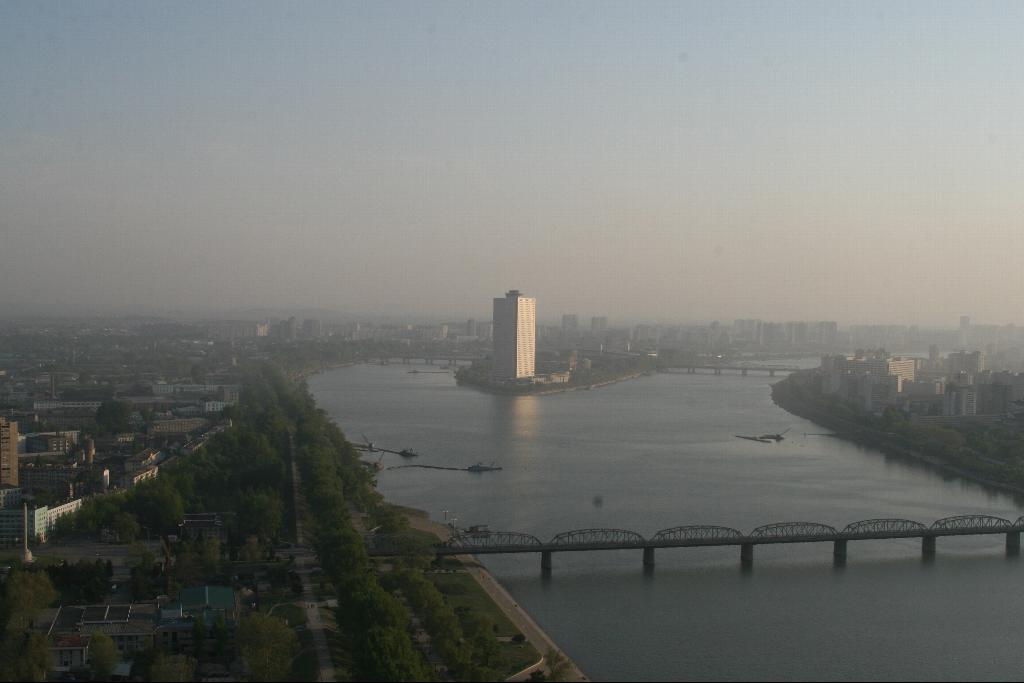
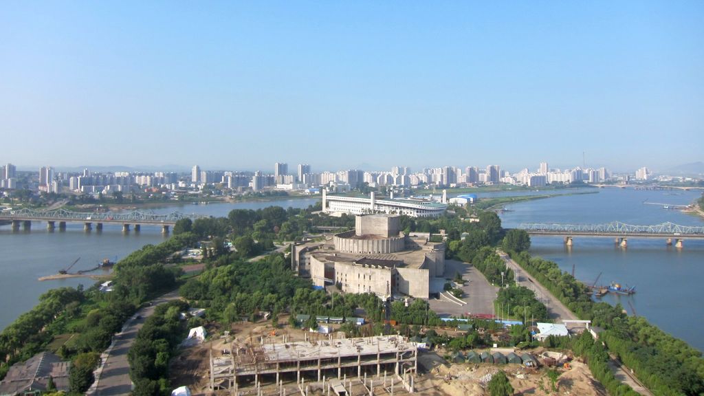
Yanggakdo, or Yanggak Island is a small island in the Taedong River, located about two kilometers to the south-east of the centre of the North Korean capital city Pyongyang. It is connected to the northern and southern side of Pyongyang by the Yanggak Bridge, which spans the island and separates it into a northeastern and southwestern part. The name means "Rams horn island" and is said to be derived from its shape. On its northeastern end the 170 metres (560 ft) tall Yanggakdo International Hotel is located, the second tallest building in North Korea. Adjacent to the hotel's southern side, there was originally a 9,000 square metre nine-hole golf course which as of 2011 had been demolished to make space for a new Chinese-funded health complex to be built. Also on the northeastern part of Yanggak Island, the Pyongyang International Cinema Hall can be found, which hosts the opening and closing ceremonies of the Pyongyang International Film Festival. The island's southwestern part houses the Yanggakdo Stadium, which is a multi-purpose stadium that holds 30,000 people and was opened in 1989.
Show more
Sun and Moon
Mon
Tue
Wed
Thu
Fri
Sat
Sun
May 2022
Date and time
00:00
06:00
12:00
18:00
Today
--
--
Sunrise
--
Sunset
--
Moonrise
--
Moonset
Phase
🌔 Waxing Gibbous
The perfect light time for beautiful photos:
--
Sunrise
--
Sunset
PeakVisor app
Get the app on your smartphone
New Panorama Tools
Trace location on the map
Measure distances
All the instruments are available in the context menu as well.
We use GPS information embedded into the photo when it is available.
3D mountains overlay
Adjust mountain panorama to perfectly match your photos because recorded by camera photo position might be imprecise.
Move tool
Rotate tool
Zoom
More customization
Choose which peak labels should make into the final photo and what photo title should be.
Next
Photo Location
Satellitte
Flat map
Relief map
Latitude
Longitude
Altitude
OR
Latitude
°'''
Longitude
°'''
Apply
Register Peak
Peak Name
Latitude
Longitude
Altitude
Register
Teleport
PeakVisor
This 3D model of Sagarmatha National Park in Nepal was made using the PeakVisor app topographic data. The mobile app features higher precision models worldwide, more topographic details, and works offline. Download PeakVisor maps today.
Download OBJ model
PeakVisor
The download should start shortly. If you find it useful please consider supporting the PeakVisor app.
PeakVisor for iOS and Android
Be a superhero of outdoor navigation with state-of-the-art 3D maps and mountain identification in the palm of your hand!