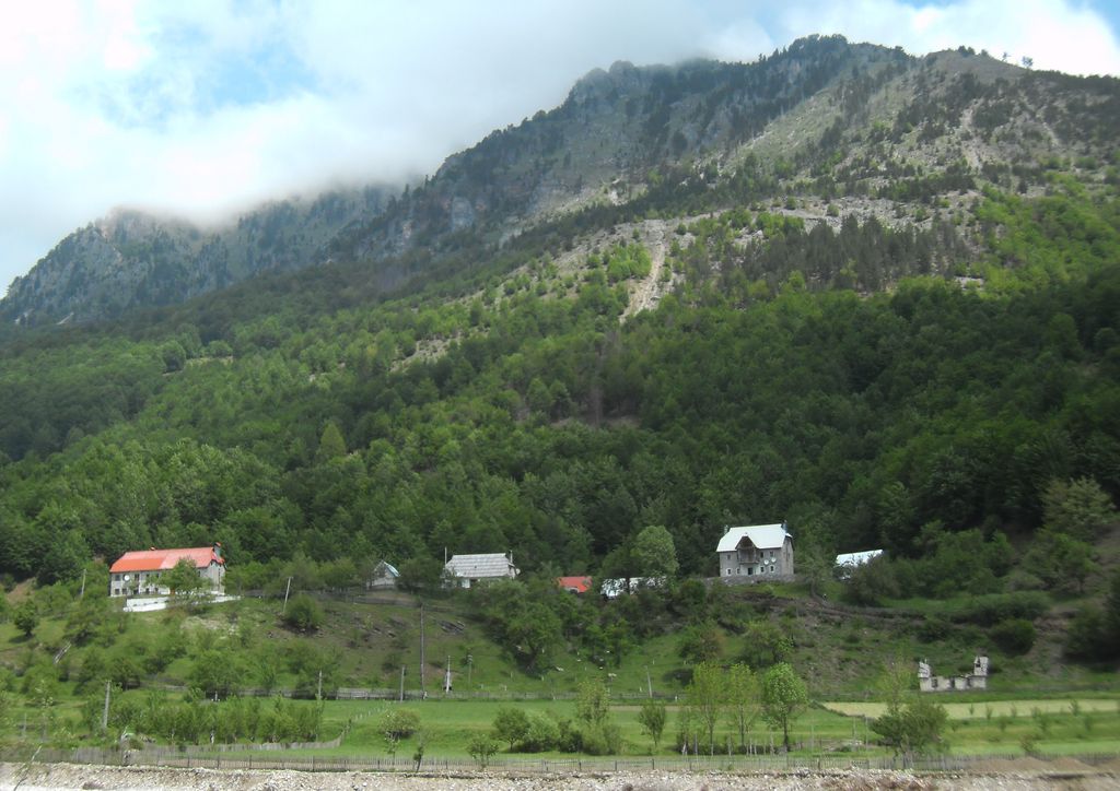
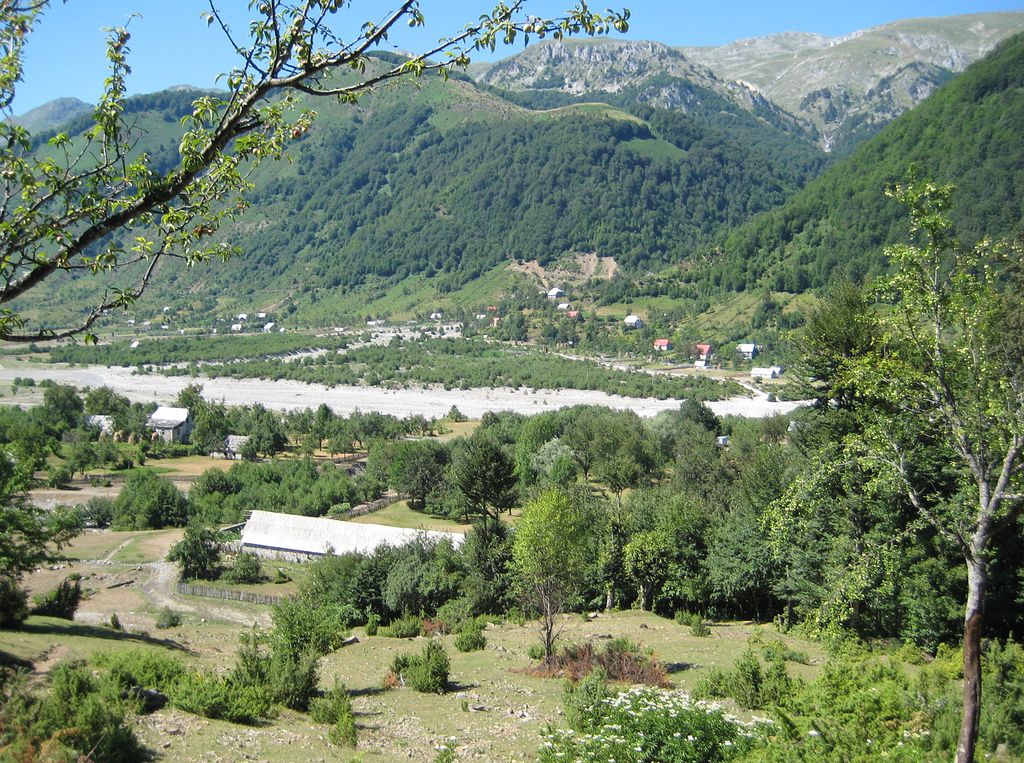
Kelmendi is a historical Albanian tribe (fis) and region in Malësia (Kelmend municipality) and eastern Montenegro (parts of Gusinje Municipality). It is located in the upper valley of the Cem river and its tributaries in the Accursed Mountains range of the Dinaric Alps. The Vermosh river springs in the village of the same name, which is Albania's northernmost village. Vermosh pours into Lake Plav. Kelmendi is mentioned as early as the 14th century and as a territorial tribe it developed in the 15th century. In the Balkans, it is widely known historically for its longtime resistance to the Ottoman Empire and its extensive battles and raids against the Ottomans which reached as far north as Bosnia and as far east as Bulgaria. By the 17th century, they had grown so much in numbers and strength that their name was sometimes used for all tribes of northern Albania and Montenegro. The Ottomans tried several times to expel them completely from their home territory and forcefully settle them elsewhere, but the community returned to its ancestral lands again and again. Kelmendi's legacy is found throughout the region. Kelmendi is found beyond the Cem valley (Selcë, Vukël, Nikç and others), Gusinje (in particular, the villages Vusanje, Doli, Martinovići and Gusinje itself) and Plav (Hakaj) to the east in Rožaje and the Pešter plateau. In Kosovo, descendants of Kelmendi live in the Rugova Canyon and western Kosovo mainly. In Montenegro, half of the tribe (pleme) of Old Ceklin and a part of Kuči which settled there in the 16th century come from Kelmendi. The northernmost settlement from Kelmendi is in the villages of Hrtkovci and Nikinci in Syrmia when 1,600 Catholic Albanian refugees settled there in 1737.
Show more
Sun and Moon
Mon
Tue
Wed
Thu
Fri
Sat
Sun
May 2022
Date and time
00:00
06:00
12:00
18:00
Today
--
--
Sunrise
--
Sunset
--
Moonrise
--
Moonset
Phase
🌔 Waxing Gibbous
The perfect light time for beautiful photos:
--
Sunrise
--
Sunset
PeakVisor app
Get the app on your smartphone
New Panorama Tools
Trace location on the map
Measure distances
All the instruments are available in the context menu as well.
We use GPS information embedded into the photo when it is available.
3D mountains overlay
Adjust mountain panorama to perfectly match your photos because recorded by camera photo position might be imprecise.
Move tool
Rotate tool
Zoom
More customization
Choose which peak labels should make into the final photo and what photo title should be.
Next
Photo Location
Satellitte
Flat map
Relief map
Latitude
Longitude
Altitude
OR
Latitude
°'''
Longitude
°'''
Apply
Register Peak
Peak Name
Latitude
Longitude
Altitude
Register
Teleport
PeakVisor
This 3D model of Sagarmatha National Park in Nepal was made using the PeakVisor app topographic data. The mobile app features higher precision models worldwide, more topographic details, and works offline. Download PeakVisor maps today.
Download OBJ model
PeakVisor
The download should start shortly. If you find it useful please consider supporting the PeakVisor app.
PeakVisor for iOS and Android
Be a superhero of outdoor navigation with state-of-the-art 3D maps and mountain identification in the palm of your hand!