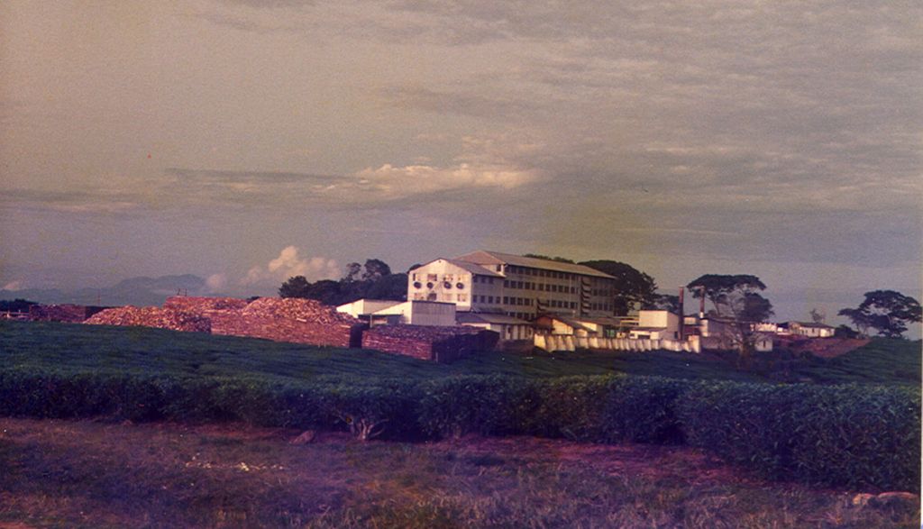
Thyolo is a town located in the Southern Region of Malawi. It is the administrative capital of Thyolo District. Traditional Authority Mphuka in Thyolo District is one of the 10 Traditional Authorities in Thyolo District in Malawi. There are a number of non sustainable activities that communities in the area do that are detrimental to development. Malawi being an agricultural based economy production is dependent on natural resources whose availability and stability cannot be guaranteed in the area. Livelihoods are affected by non sustainable practices such as wanton cutting down of trees, shifting cultivation, and poor agricultural practices. The drivers of deforestation and soil erosion are interrelated with growing human population, increased demand of firewood and limited job opportunities being the main ones. The State of Environment Report of 2000 for the district identified five pressing environmental issues for the district and these included: overpopulation, encroachment in water catchment areas, poor public place sanitation, declining fish catch from natural water bodies and loss of biodiversity. One other thing that has exacerbated the social economic status of the people in this district is the introduction of tea estates a long time ago which took almost all cultivatable land away from the inhabitants leaving them only with casual labouring in the estates as an alternative for survival. The estates do little, if not nothing, for the lives of these vulnerable people.
Show more
Sun and Moon
Mon
Tue
Wed
Thu
Fri
Sat
Sun
May 2022
Date and time
00:00
06:00
12:00
18:00
Today
--
--
Sunrise
--
Sunset
--
Moonrise
--
Moonset
Phase
🌔 Waxing Gibbous
The perfect light time for beautiful photos:
--
Sunrise
--
Sunset
PeakVisor app
Get the app on your smartphone
New Panorama Tools
Trace location on the map
Measure distances
All the instruments are available in the context menu as well.
We use GPS information embedded into the photo when it is available.
3D mountains overlay
Adjust mountain panorama to perfectly match your photos because recorded by camera photo position might be imprecise.
Move tool
Rotate tool
Zoom
More customization
Choose which peak labels should make into the final photo and what photo title should be.
Next
Photo Location
Satellitte
Flat map
Relief map
Latitude
Longitude
Altitude
OR
Latitude
°'''
Longitude
°'''
Apply
Register Peak
Peak Name
Latitude
Longitude
Altitude
Register
Teleport
PeakVisor
This 3D model of Sagarmatha National Park in Nepal was made using the PeakVisor app topographic data. The mobile app features higher precision models worldwide, more topographic details, and works offline. Download PeakVisor maps today.
Download OBJ model
PeakVisor
The download should start shortly. If you find it useful please consider supporting the PeakVisor app.
PeakVisor for iOS and Android
Be a superhero of outdoor navigation with state-of-the-art 3D maps and mountain identification in the palm of your hand!