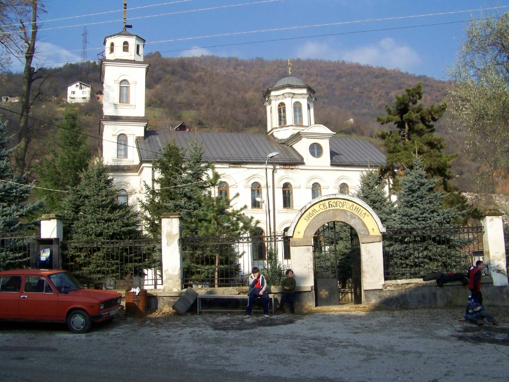
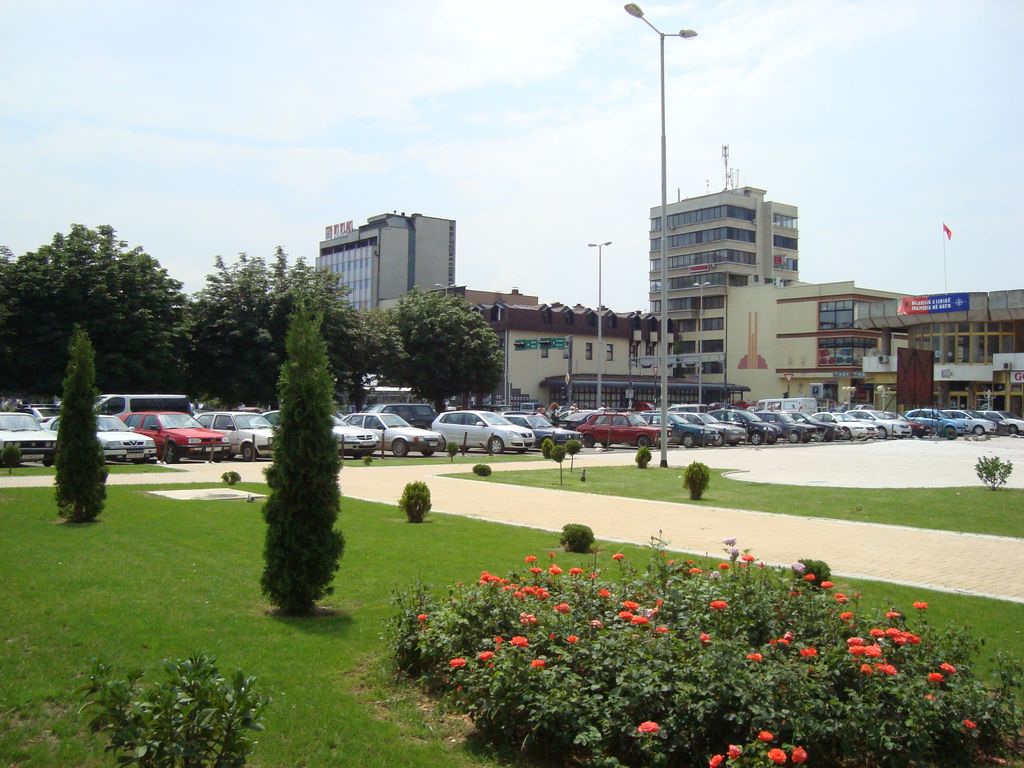
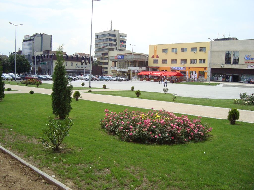
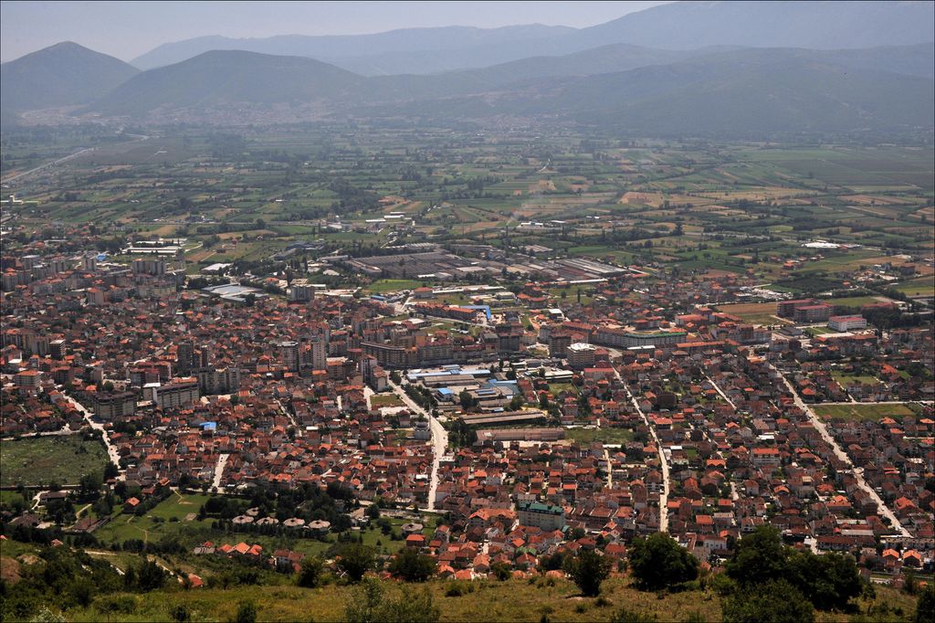
Tetovo (Macedonian: Тетово, [ˈtɛtɔvɔ] ; Albanian: Tetovë, Albanian definite form: Tetova) is a city in the northwestern part of North Macedonia, built on the foothills of Šar Mountain and divided by the Pena River. The municipality of Tetovo covers an area of 1,080 km2 (417 sq mi) at 468 meters (1,535 ft) above sea level, with a population of 63,176. The city of Tetovo is the seat of Tetovo Municipality. Tetovo was founded in the 14th century on the place of the ancient town of Oaeneon. In the 15th c. AD, Tetovo came under Ottoman rule for about five centuries. After its conquest by the Ottomans, most of city's population converted to Islam and many Ottoman-style structures were built, such as the Šarena Džamija and the Arabati Baba Teḱe, which still stand as two of North Macedonia's most significant landmarks of its Ottoman period. During this period, the town belonged to the Vilayet of Kosovo, became a firearm and cannon foundry, and was renamed Kalkandelen (meaning Shield Penetrator); as a result, the town attracted many workers and grew to a city. Following the World Wars, Tetovo became a part of Yugoslavia and, later, the Republic of Macedonia. South East European University, North Macedonia's third largest university after Skopje and Bitola, is located in Tetovo. Tetovo is also home to the State University of Tetovo.
We use GPS information embedded into the photo when it is available.
3D mountains overlay
Adjust mountain panorama to perfectly match your photos because recorded by camera photo position might be imprecise.
Move tool
Rotate tool
Zoom
More customization
Choose which peak labels should make into the final photo and what photo title should be.
Next
Photo Location
Satellitte
Flat map
Relief map
Latitude
Longitude
Altitude
OR
Latitude
°'''
Longitude
°'''
Apply
Register Peak
Peak Name
Latitude
Longitude
Altitude
Register
Teleport
PeakVisor
This 3D model of Sagarmatha National Park in Nepal was made using the PeakVisor app topographic data. The mobile app features higher precision models worldwide, more topographic details, and works offline. Download PeakVisor maps today.
Download OBJ model
PeakVisor
The download should start shortly. If you find it useful please consider supporting the PeakVisor app.
PeakVisor for iOS and Android
Be a superhero of outdoor navigation with state-of-the-art 3D maps and mountain identification in the palm of your hand!