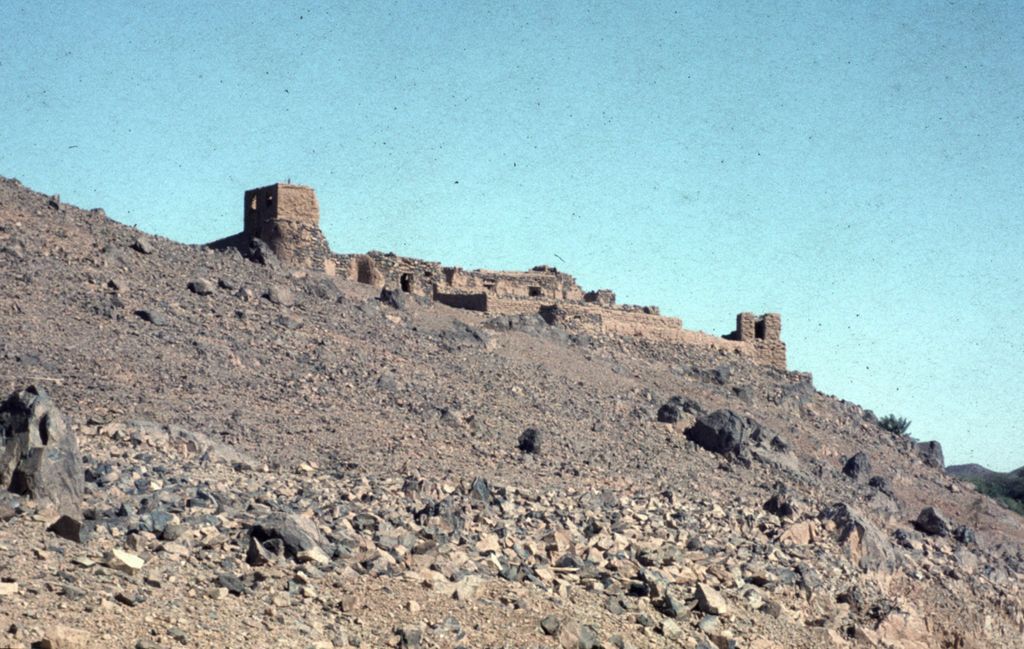
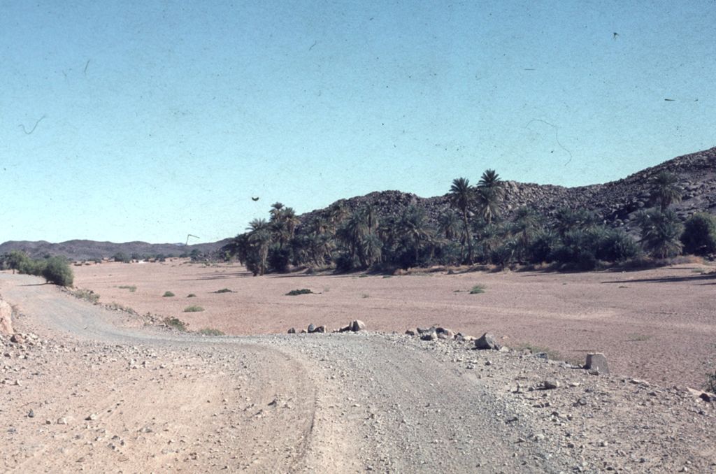
Tessalit is a rural commune and village in the Kidal Region of Mali. The village is the administrative centre of Tessalit Cercle (district). The village lies 85 kilometres (53 mi) north of Adjelhoc and about 70 kilometres (43 mi) from the Algerian border. The commune extends over an area of 30,000 square kilometres (12,000 sq mi) that is almost entirely desert. In the 2009 census the commune had a population of 5,739. It is served by Tessalit Airport. Tessalit is an oasis in the Sahara desert and a stop for trans-Saharan travellers. A gypsum deposit and a plaster factory also contribute to the local economy, though these activities have been disrupted in recent decades by the Tuareg Rebellions and terrorism in neighboring Algeria. The Malian government have a military base at the village of Tessalit. Tessalit is situated in the mountain range of Adrar des Ifoghas. It is primarily populated by Tuaregs and is the home of the musical group Tinariwen as well as the poet Souéloum Diagho. The village is twinned with Saint-Jean-de-Maurienne, France. The cercle of Tessalit contains the communes of Tessalit, Adjelhoc, and Timtaghene.
Show more
Sun and Moon
Mon
Tue
Wed
Thu
Fri
Sat
Sun
May 2022
Date and time
00:00
06:00
12:00
18:00
Today
--
--
Sunrise
--
Sunset
--
Moonrise
--
Moonset
Phase
🌔 Waxing Gibbous
The perfect light time for beautiful photos:
--
Sunrise
--
Sunset
PeakVisor app
Get the app on your smartphone
New Panorama Tools
Trace location on the map
Measure distances
All the instruments are available in the context menu as well.
We use GPS information embedded into the photo when it is available.
3D mountains overlay
Adjust mountain panorama to perfectly match your photos because recorded by camera photo position might be imprecise.
Move tool
Rotate tool
Zoom
More customization
Choose which peak labels should make into the final photo and what photo title should be.
Next
Photo Location
Satellitte
Flat map
Relief map
Latitude
Longitude
Altitude
OR
Latitude
°'''
Longitude
°'''
Apply
Register Peak
Peak Name
Latitude
Longitude
Altitude
Register
Teleport
PeakVisor
This 3D model of Sagarmatha National Park in Nepal was made using the PeakVisor app topographic data. The mobile app features higher precision models worldwide, more topographic details, and works offline. Download PeakVisor maps today.
Download OBJ model
PeakVisor
The download should start shortly. If you find it useful please consider supporting the PeakVisor app.
PeakVisor for iOS and Android
Be a superhero of outdoor navigation with state-of-the-art 3D maps and mountain identification in the palm of your hand!