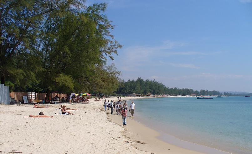
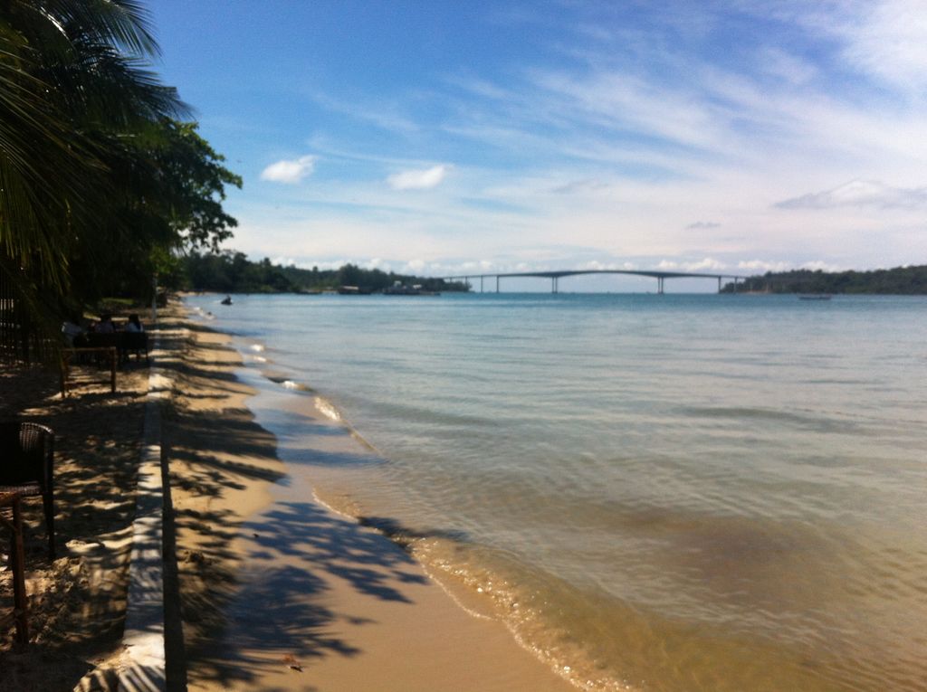
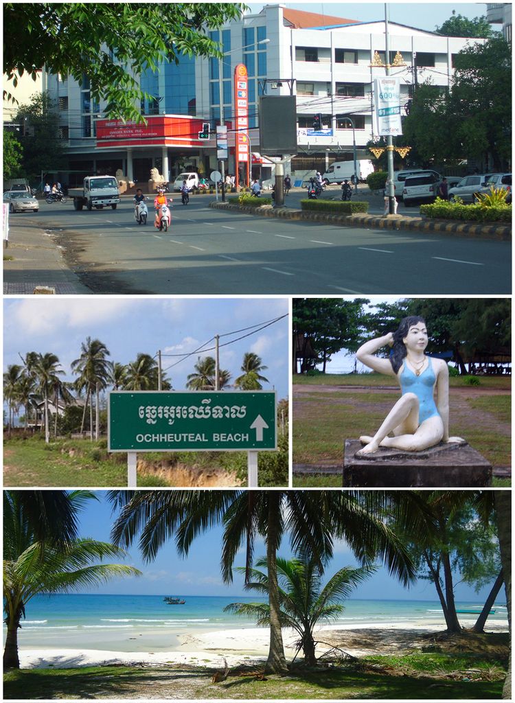
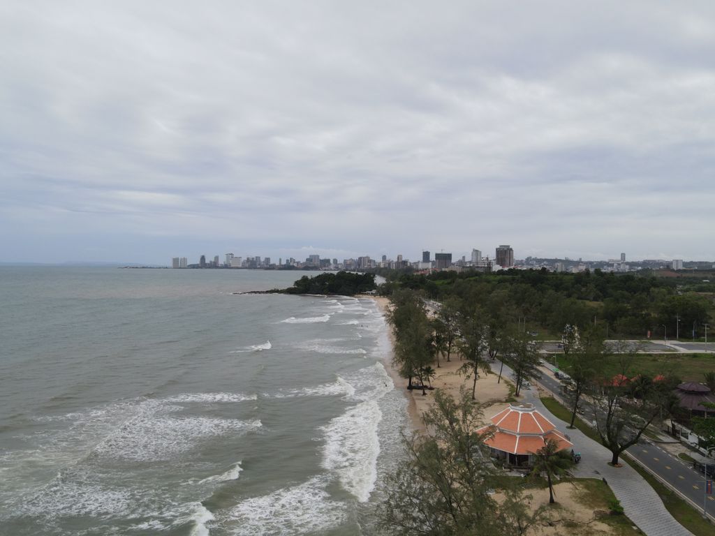
Sihanoukville (Khmer: ក្រុងព្រះសីហនុ, Krŏng Preăh Seihănŭ [kroŋ prĕəh səjhanuʔ]), also known as Kampong Saom (Khmer: កំពង់សោម, Kâmpóng Saôm [kɑmpɔŋ saom]), is a coastal city in Cambodia and the capital of Preah Sihanouk Province, at the tip of an elevated peninsula in the country's south-west on the Gulf of Thailand. The city has a string of beaches along its entire coastline and coastal marshlands bordering Ream National Park in the east. The city has one navigable river, the mangrove-lined Ou Trojak Jet, running from Otres Pagoda to the sea at Otres. A number of thinly inhabited islands, under Sihanoukville's administration, are near the city. The city, which was named in honour of former king Norodom Sihanouk, had a population of around 89,800 people and approximately 66,700 in its urban center in 2008. Sihanoukville city encompasses the greater part of six communes (Sangkats) in Sihanoukville Province. It has evolved parallel to the construction of the Sihanoukville Autonomous Port, which commenced in June 1955, as the country's gateway to direct and unrestricted international sea trade. The only deep-water port in Cambodia includes an oil terminal and a transport logistics facility. The city has developed into the country's primary hub for coastal tourism, including as a gambling destination.
Show more
Sun and Moon
Mon
Tue
Wed
Thu
Fri
Sat
Sun
May 2022
Date and time
00:00
06:00
12:00
18:00
Today
--
--
Sunrise
--
Sunset
--
Moonrise
--
Moonset
Phase
🌔 Waxing Gibbous
The perfect light time for beautiful photos:
--
Sunrise
--
Sunset
PeakVisor app
Get the app on your smartphone
New Panorama Tools
Trace location on the map
Measure distances
All the instruments are available in the context menu as well.
We use GPS information embedded into the photo when it is available.
3D mountains overlay
Adjust mountain panorama to perfectly match your photos because recorded by camera photo position might be imprecise.
Move tool
Rotate tool
Zoom
More customization
Choose which peak labels should make into the final photo and what photo title should be.
Next
Photo Location
Satellitte
Flat map
Relief map
Latitude
Longitude
Altitude
OR
Latitude
°'''
Longitude
°'''
Apply
Register Peak
Peak Name
Latitude
Longitude
Altitude
Register
Teleport
PeakVisor
This 3D model of Sagarmatha National Park in Nepal was made using the PeakVisor app topographic data. The mobile app features higher precision models worldwide, more topographic details, and works offline. Download PeakVisor maps today.
Download OBJ model
PeakVisor
The download should start shortly. If you find it useful please consider supporting the PeakVisor app.
PeakVisor for iOS and Android
Be a superhero of outdoor navigation with state-of-the-art 3D maps and mountain identification in the palm of your hand!