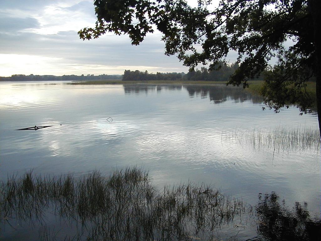
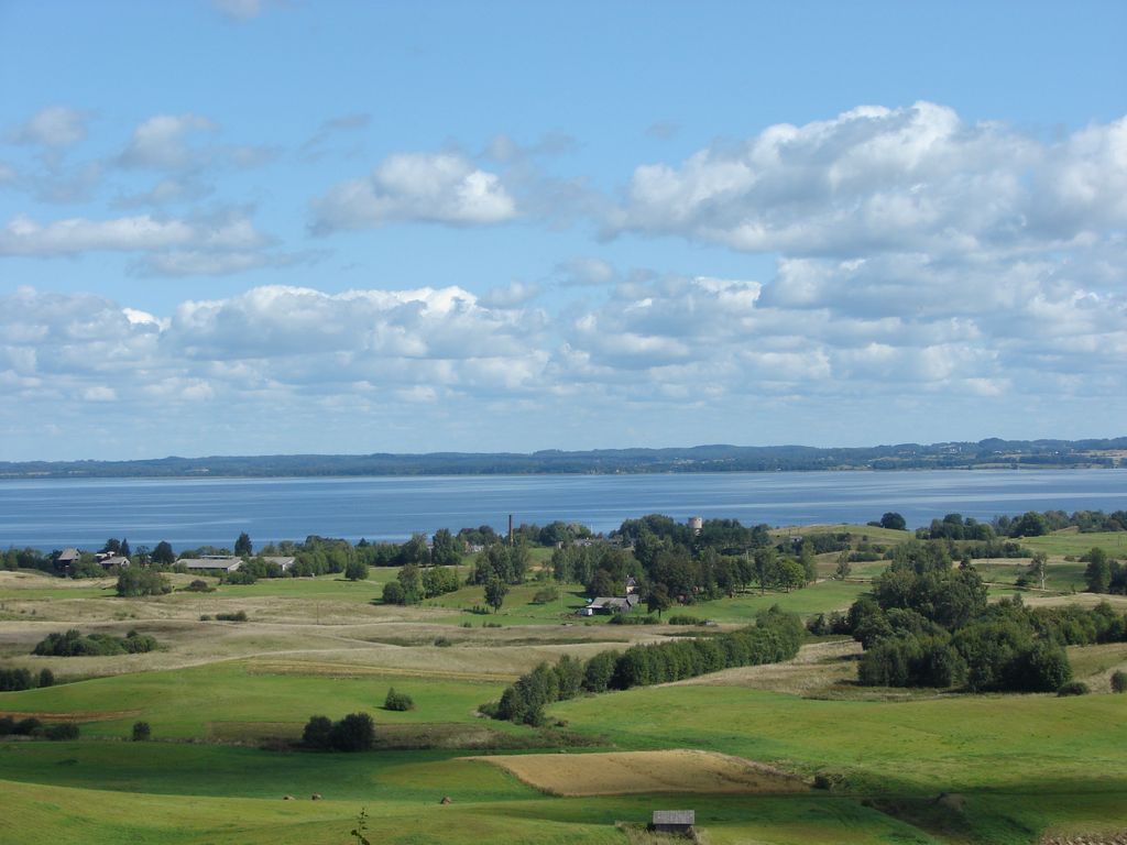
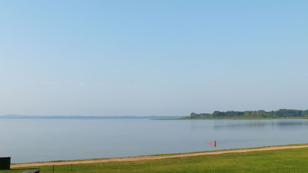
Rāzna (Latvian: Rāznas ezers, Rēznas ezers) is the second largest water surface and the first in terms of water volume lake in Latvia. It is located in the eastern part of the country on the territory of Rēzekne Municipality, the water area of the lake is divided between Kaunatas, Mākoņkalna and Čornajas parishes. It is located in the central part of the Latgale Upland at an altitude of 163.3 m (536 ft) above sea level. The total area of the lake is 57.81 km2 (22.32 sq mi), the water surface is 57.564 km2 (22.226 sq mi). The maximum depth reaches 17 m (56 ft). There are 10 islands on the lake with a total area of 24.6 hectares (61 acres), the largest of them is Apshu (9 hectares). In the late 80s - early 90s, the Committee for Environmental Protection drew attention to the deterioration of the ecological state of the lake. In 1999, funds were allocated for a project to create a nature park based on the lake. In 2001, local governments signed a protocol proposing the creation of the Rāzna National Park. In 2004, the official establishment of the Razna Natural Park takes place, which on January 1, 2007 will be transformed into the Rāzna National Park. The lake is home to northern pike, stickleback, stone loach, european eel, tench, sander, perch, roach, peled, carp, crucian carp, common bleak, common bream, common rudd, vendace, ide, ruff, blicca bjoerkna and some other fish species. Two kilometers from the south-western shore of the lake there is Makonkalns hill, from which a view of the lake can be seen.
We use GPS information embedded into the photo when it is available.
3D mountains overlay
Adjust mountain panorama to perfectly match your photos because recorded by camera photo position might be imprecise.
Move tool
Rotate tool
Zoom
More customization
Choose which peak labels should make into the final photo and what photo title should be.
Next
Photo Location
Satellitte
Flat map
Relief map
Latitude
Longitude
Altitude
OR
Latitude
°'''
Longitude
°'''
Apply
Register Peak
Peak Name
Latitude
Longitude
Altitude
Register
Teleport
PeakVisor
This 3D model of Sagarmatha National Park in Nepal was made using the PeakVisor app topographic data. The mobile app features higher precision models worldwide, more topographic details, and works offline. Download PeakVisor maps today.
Download OBJ model
PeakVisor
The download should start shortly. If you find it useful please consider supporting the PeakVisor app.
PeakVisor for iOS and Android
Be a superhero of outdoor navigation with state-of-the-art 3D maps and mountain identification in the palm of your hand!