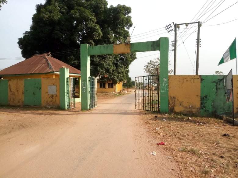
Oguta is a town on the east bank of Oguta Lake in Imo State of southeastern Nigeria. Oguta is called "Oguta-Ameshi" or "Ameshi"- by its aborigines. Indigenes - consists of two parts, the old part which holds the 27 villages of Oguta, and the new part, called the "Oguta New Layout". Oguta New Layout, as a rule, is strict compliance with its original master plan. Oguta Town by location is embedded between Oguta Lake on the eastern side, and Obana River that joined Okposha River, on the western side, leaving only the Egwe Gateway as the only dry land route into Oguta without passing through water or a bridge. Oguta as a tourist destination, makes most people including natives to have the preponderance to describe Oguta Town more often - as being located on the east bank of Oguta Lake. Oguta's high-yield oil and gas fields make Oguta an important territory and geographic area, hosting many multinational oil companies like AGIP, Shell, Chevron. Some times Oguta is used as a synonym for Oguta Local Government Area, which has Oguta as its headquarters. Oguta LGA is one of the twenty seven local government areas that make up the Imo State. In turn, Imo State is one of the five states that make up the South-East geopolitical region, which is one of the six geopolitical regions that make up The Federal Republic of Nigeria. With its Oguide Lake and Urashi River bestowing her peculiar advantages, Oguta was one of the chosen endowed territories that the British through the instrumentality of the Royal Niger Company, UAC, and then the British Colonial Government used and exploited diversely. Due to its strategic waterways, oil and gas, palm produce, agricultural products, natural resources, Oguta was one of the oldest trade and administrative Centres in Nigeria. Connected to River Niger, Oguta waterways were used by the British and later Nigerian government forces during the Nigeria - Biafra civil war as routes through which to access and connect to the adjoining towns, villages and other settlement types nearer and further from Oguta, that were and remain principally peopled by other ethnic Igbo people the Mgbidi, Orlu, Awo-Omamma, Nkwerre, Owerri, Okigwe, Umuahia, Aba/Ngwa people, among others, who are substantial parts of the Eastern Nigerian population in the hinterland, collectively called "The Igbos". As of 2012, that Oguta's population was estimated at 20,096. FESTIVALS Omerife(Ogene): Is the annual New Yam Festival celebrated during harvest time in Oguta. It holds from the last week of August to the third week of September.
Show more
Sun and Moon
Mon
Tue
Wed
Thu
Fri
Sat
Sun
May 2022
Date and time
00:00
06:00
12:00
18:00
Today
--
--
Sunrise
--
Sunset
--
Moonrise
--
Moonset
Phase
🌔 Waxing Gibbous
The perfect light time for beautiful photos:
--
Sunrise
--
Sunset
PeakVisor app
Get the app on your smartphone
New Panorama Tools
Trace location on the map
Measure distances
All the instruments are available in the context menu as well.
We use GPS information embedded into the photo when it is available.
3D mountains overlay
Adjust mountain panorama to perfectly match your photos because recorded by camera photo position might be imprecise.
Move tool
Rotate tool
Zoom
More customization
Choose which peak labels should make into the final photo and what photo title should be.
Next
Photo Location
Satellitte
Flat map
Relief map
Latitude
Longitude
Altitude
OR
Latitude
°'''
Longitude
°'''
Apply
Register Peak
Peak Name
Latitude
Longitude
Altitude
Register
Teleport
PeakVisor
This 3D model of Sagarmatha National Park in Nepal was made using the PeakVisor app topographic data. The mobile app features higher precision models worldwide, more topographic details, and works offline. Download PeakVisor maps today.
Download OBJ model
PeakVisor
The download should start shortly. If you find it useful please consider supporting the PeakVisor app.
PeakVisor for iOS and Android
Be a superhero of outdoor navigation with state-of-the-art 3D maps and mountain identification in the palm of your hand!