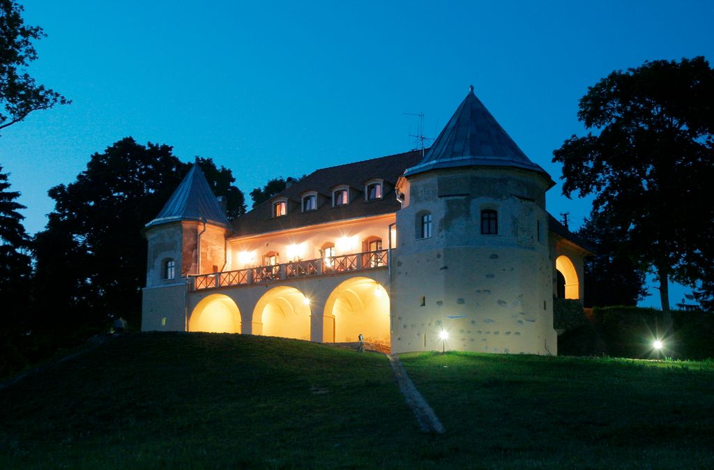
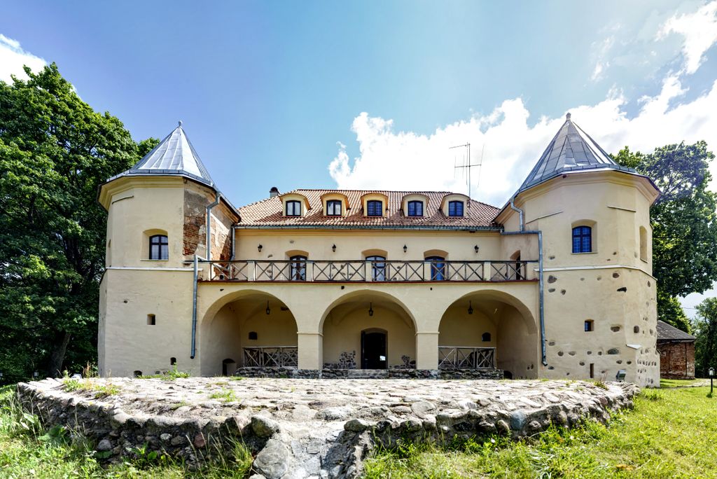
Norviliškės Castle (a former monastery, also called Norviliškės Manor) is a Renaissance style castle in Norviliškės, Lithuania. The Norviliškės Castle is first mentioned in 1586. In 1617 the owners donated part of the real estate land to Franciscans. Around 1745 they built a monastery and a church in Renaissance style. The monastery was reconstructed at the end of the 18th century by Kazimieras Kaminskis. After the November Uprising of 1831, Russian authorities closed the monastery and turned it into barracks for soldiers, and later to a boarding school for girls. The Church of St. Mary Compassionate Mother was closed at the same time as the monastery. A new wooden church was built in 1929. For a long time the former manor stood abandoned. In 2005, reconstruction was started by an entrepreneur, Giedrius Klimkevičius, from Vilnius. The project is supported by funds from the PHARE program. The hopes are that the Norviliškės Castle will become a tourist attraction. It offers hosting for business conferences or weddings, hunting, shooting practices, and other activities, including music festival Be2gether.
We use GPS information embedded into the photo when it is available.
3D mountains overlay
Adjust mountain panorama to perfectly match your photos because recorded by camera photo position might be imprecise.
Move tool
Rotate tool
Zoom
More customization
Choose which peak labels should make into the final photo and what photo title should be.
Next
Photo Location
Satellitte
Flat map
Relief map
Latitude
Longitude
Altitude
OR
Latitude
°'''
Longitude
°'''
Apply
Register Peak
Peak Name
Latitude
Longitude
Altitude
Register
Teleport
PeakVisor
This 3D model of Sagarmatha National Park in Nepal was made using the PeakVisor app topographic data. The mobile app features higher precision models worldwide, more topographic details, and works offline. Download PeakVisor maps today.
Download OBJ model
PeakVisor
The download should start shortly. If you find it useful please consider supporting the PeakVisor app.
PeakVisor for iOS and Android
Be a superhero of outdoor navigation with state-of-the-art 3D maps and mountain identification in the palm of your hand!