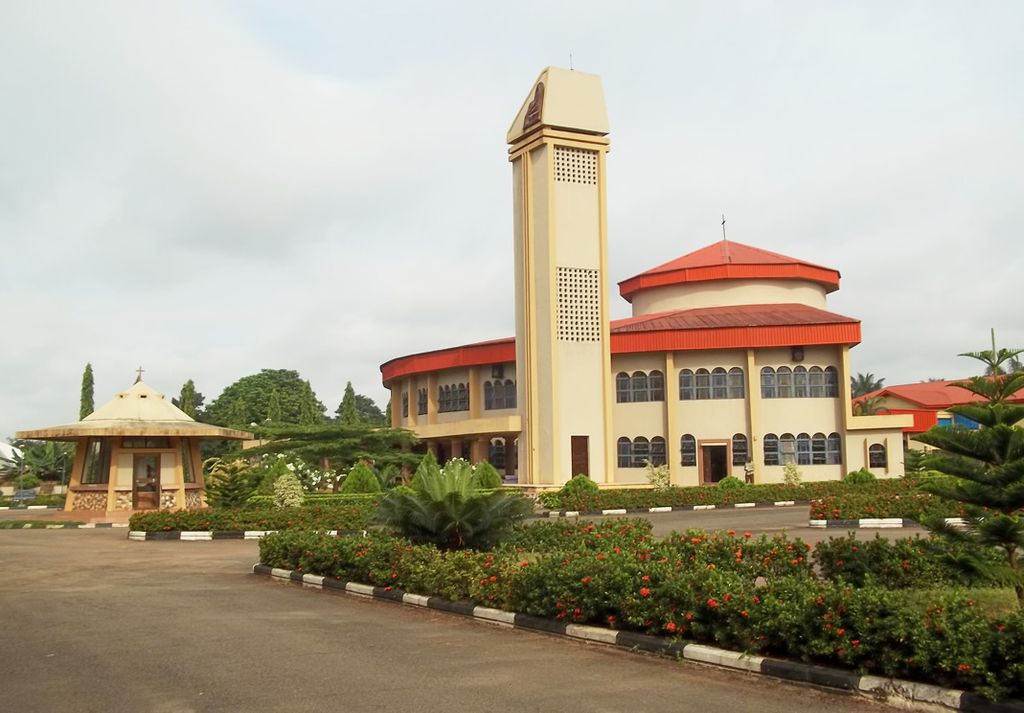
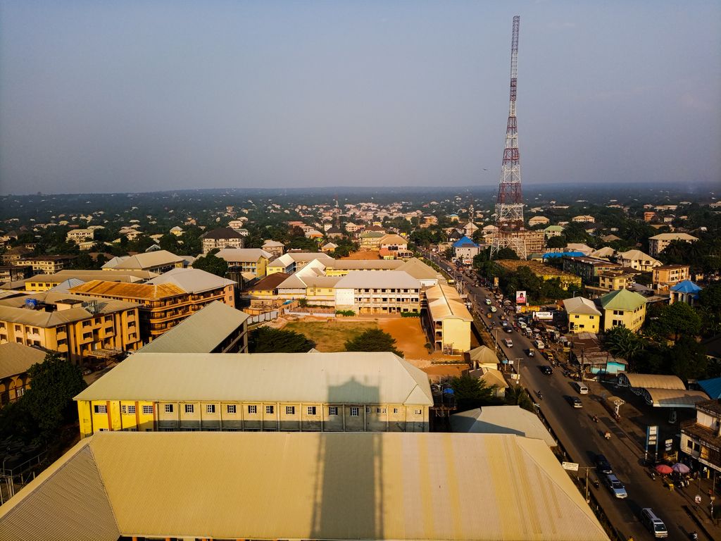
Nnewi is a commercial and industrial city in Anambra State, southeastern Nigeria. It is the second largest city in Anambra state after Onitsha . Nnewi as a metropolitan area has two local government area, which are Nnewi North and Nnewi South, all centred around the Nnewi town. Even Ekwusigo local government area is now part of Nnewi urban area, as urbanization continues to spread from Nnewi to neighbouring communities . The Nnewi town which is the only town in Nnewi North, comprises four villages: Otolo, Uruagu, Umudim, and Nnewichi. Nnewi had been the centre of economics and commerce, being at a time the fastest growing industrial city east of the Niger, being the home of many industries such as The Ibeto Group, the Chicason Group, Cutix Cables, amongst others. The first indigenous car manufacturing plant in Nigeria is located in the city while the first wholly Made-in-Nigeria motorcycle, the 'NASENI M1' was manufactured in Nnewi. In 2019, Nnewi population estimate was put at more than 900,000 people. As of January 2024, Nnewi has an estimated population of 1,301,000. The city spans over 200 square miles (520 km2) in Anambra State. Nnewi Metropolitan Area and its satellite towns is home to nearly 2.5 million residents As of 2005. Dimensionally, Nnewi has an edge over all other units, it was recognized by the 1953 census figures as the largest inland town of all others in the Eastern states of Nigeria. Projected to be the twelfth fastest growing city on the African continent between 2020 and 2025, with a 5.18% growth.
Show more
Sun and Moon
Mon
Tue
Wed
Thu
Fri
Sat
Sun
May 2022
Date and time
00:00
06:00
12:00
18:00
Today
--
--
Sunrise
--
Sunset
--
Moonrise
--
Moonset
Phase
🌔 Waxing Gibbous
The perfect light time for beautiful photos:
--
Sunrise
--
Sunset
PeakVisor app
Get the app on your smartphone
New Panorama Tools
Trace location on the map
Measure distances
All the instruments are available in the context menu as well.
We use GPS information embedded into the photo when it is available.
3D mountains overlay
Adjust mountain panorama to perfectly match your photos because recorded by camera photo position might be imprecise.
Move tool
Rotate tool
Zoom
More customization
Choose which peak labels should make into the final photo and what photo title should be.
Next
Photo Location
Satellitte
Flat map
Relief map
Latitude
Longitude
Altitude
OR
Latitude
°'''
Longitude
°'''
Apply
Register Peak
Peak Name
Latitude
Longitude
Altitude
Register
Teleport
PeakVisor
This 3D model of Sagarmatha National Park in Nepal was made using the PeakVisor app topographic data. The mobile app features higher precision models worldwide, more topographic details, and works offline. Download PeakVisor maps today.
Download OBJ model
PeakVisor
The download should start shortly. If you find it useful please consider supporting the PeakVisor app.
PeakVisor for iOS and Android
Be a superhero of outdoor navigation with state-of-the-art 3D maps and mountain identification in the palm of your hand!