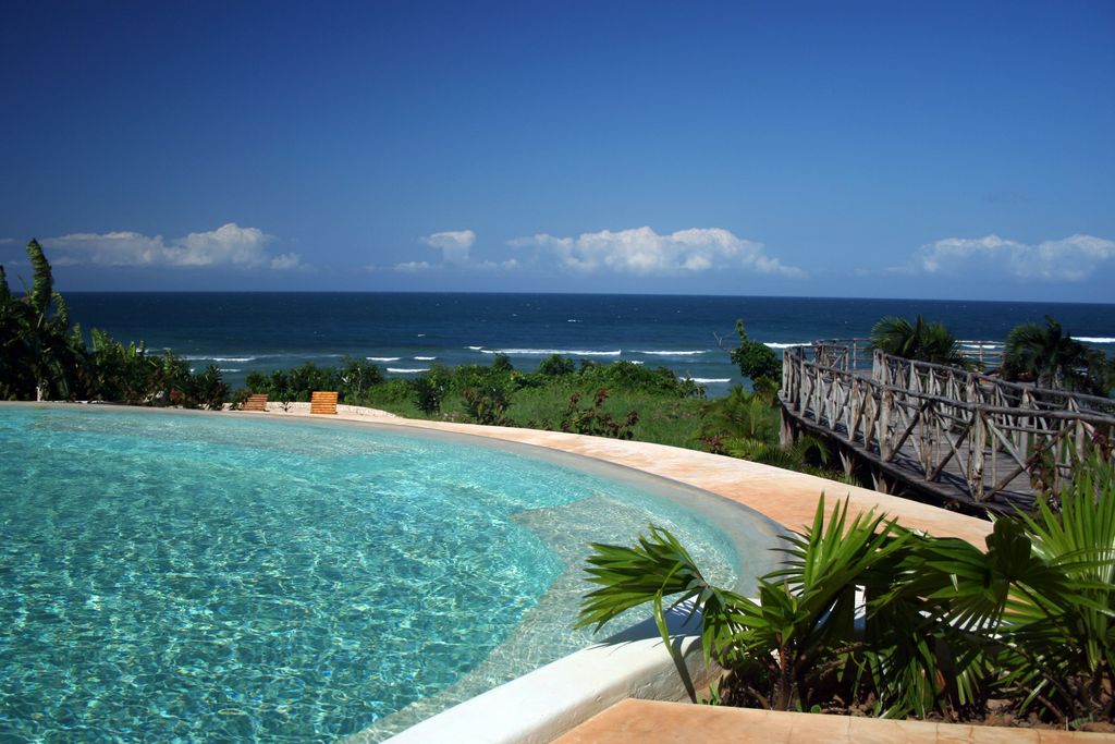
Msambweni (meaning "land of Msambwe") in Swahili) is a small fishing town and constituency in Kwale County of southeastern Kenya, formerly in Kwale District of Coast Province. The origin of the name, Msambwe (plural Misambwe) is a hardy and wild fruits (sambwe) tree indigenous to Msambweni. A few remnants of the Msambwe trees are still existing at Mkunguni Beach, Sawa Sawa Village. By road, Msambweni is 55.4 kilometres (34.4 mi) south of Mombasa and 46.5 kilometres (28.9 mi) northeast of Lunga Lunga on the Tanzanian border. As of 2009, the town had a population of 11,985 people. Fishing is the primary source of income, although coconut palm, buxa coloring, cashew nuts and fruits are produced for trade. Because of its reef and extensive beaches, the snorkeling industry is gaining in popularity in Msambweni, and holiday cottages and hotels have sprung up in the area, such as the Msambweni Beach House. The town is noted for its leprosarium and contains the Msambweni District Hospital. The Koromojo Dam is immediately north of the town.
Show more
Sun and Moon
Mon
Tue
Wed
Thu
Fri
Sat
Sun
May 2022
Date and time
00:00
06:00
12:00
18:00
Today
--
--
Sunrise
--
Sunset
--
Moonrise
--
Moonset
Phase
🌔 Waxing Gibbous
The perfect light time for beautiful photos:
--
Sunrise
--
Sunset
PeakVisor app
Get the app on your smartphone
New Panorama Tools
Trace location on the map
Measure distances
All the instruments are available in the context menu as well.
We use GPS information embedded into the photo when it is available.
3D mountains overlay
Adjust mountain panorama to perfectly match your photos because recorded by camera photo position might be imprecise.
Move tool
Rotate tool
Zoom
More customization
Choose which peak labels should make into the final photo and what photo title should be.
Next
Photo Location
Satellitte
Flat map
Relief map
Latitude
Longitude
Altitude
OR
Latitude
°'''
Longitude
°'''
Apply
Register Peak
Peak Name
Latitude
Longitude
Altitude
Register
Teleport
PeakVisor
This 3D model of Sagarmatha National Park in Nepal was made using the PeakVisor app topographic data. The mobile app features higher precision models worldwide, more topographic details, and works offline. Download PeakVisor maps today.
Download OBJ model
PeakVisor
The download should start shortly. If you find it useful please consider supporting the PeakVisor app.
PeakVisor for iOS and Android
Be a superhero of outdoor navigation with state-of-the-art 3D maps and mountain identification in the palm of your hand!