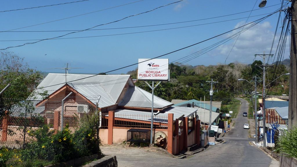
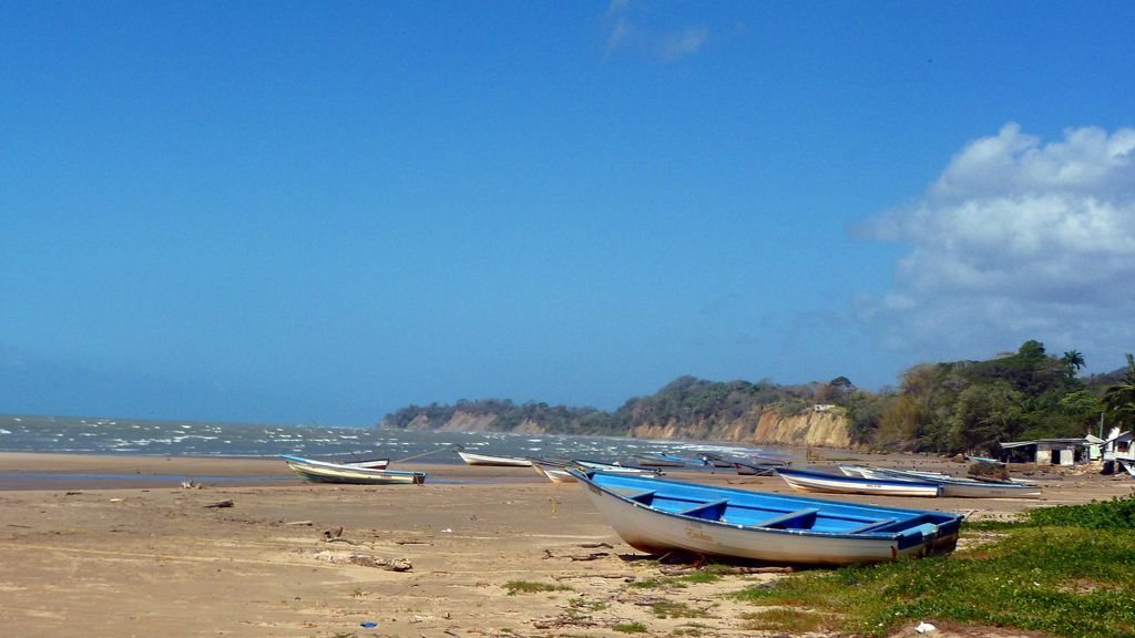
The village of Moruga lies on the central south coast of Trinidad at the western end of the Trinity Hills. It is in Victoria County, Trinidad and Tobago, and is served by the Princes Town Regional Corporation. The village is close to Trinidad's oil reserves, and that and fishing are the area's main economies with some of the residents of the community working in Princes Town and San Fernando. It is somewhat of a rural dormitory district for these larger urban areas. Moruga was in the national news in 1998 when a historic bridge near the town collapsed as a van was being driven over it (there were no fatalities). The main communities within the Moruga district (heading south from Princes Town) are Indian Walk, Fifth Company, Preau (St Mary's), Cachipe, Rock River, Basse Terre, Bois Jean Jean, Grand Chemin, La Lune and Marac, with the last three communities located on the coast. Basse Terre has the largest population and Grand Chemin is the location of the major government buildings such as the local police station, library and public health facility. Moruga Proper hosts the Moruga museum, a small museum depicting the history of Moruga and Trinidad. Moruga is said to be the place where Christopher Columbus landed when he discovered Trinidad.
Show more
Sun and Moon
Mon
Tue
Wed
Thu
Fri
Sat
Sun
May 2022
Date and time
00:00
06:00
12:00
18:00
Today
--
--
Sunrise
--
Sunset
--
Moonrise
--
Moonset
Phase
🌔 Waxing Gibbous
The perfect light time for beautiful photos:
--
Sunrise
--
Sunset
PeakVisor app
Get the app on your smartphone
New Panorama Tools
Trace location on the map
Measure distances
All the instruments are available in the context menu as well.
We use GPS information embedded into the photo when it is available.
3D mountains overlay
Adjust mountain panorama to perfectly match your photos because recorded by camera photo position might be imprecise.
Move tool
Rotate tool
Zoom
More customization
Choose which peak labels should make into the final photo and what photo title should be.
Next
Photo Location
Satellitte
Flat map
Relief map
Latitude
Longitude
Altitude
OR
Latitude
°'''
Longitude
°'''
Apply
Register Peak
Peak Name
Latitude
Longitude
Altitude
Register
Teleport
PeakVisor
This 3D model of Sagarmatha National Park in Nepal was made using the PeakVisor app topographic data. The mobile app features higher precision models worldwide, more topographic details, and works offline. Download PeakVisor maps today.
Download OBJ model
PeakVisor
The download should start shortly. If you find it useful please consider supporting the PeakVisor app.
PeakVisor for iOS and Android
Be a superhero of outdoor navigation with state-of-the-art 3D maps and mountain identification in the palm of your hand!