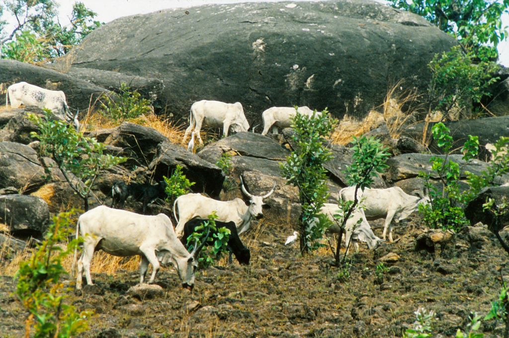
Misaje is a town and commune in Donga-Mantung department in the Northwest Region of Cameroon. The town lies at the top of the Ring Road, about 15 kilometers west of Nkambé, where the Ring Road meets the road north to Dumbu and the border with Nigeria. The name Misaje comes from a Hausa nickname for a bearded man who sold food and rented rooms to kola traders on their way to and from Takum. The village containing his stop came to be called Misaje and the name was later applied to the whole commune. Different local dialects predominate in different parts of the subdivision. Ncane is spoken from Misaje south. Nsari is spoken around Kamine and Akweto. Kemezung is spoken in Dumbu and Kwei. Bebe is spoken around Bebe-Jama and Bebe-Jatto. Mungong is spoken at Mungong. All mentioned so far are similar, grouped by linguists as Eastern Beboid languages. More distantly related, Jukun is spoken to the north around Gidan-Jikum. Misaje commune was created in 1992, with headquarters at the town of Misaje, and including the villages Nkanchi, Dumbu, Kamine,Bansobi, Akweto, Bebe-Kete, Mayo-Kila, Bebe-Jato, Sabon-gida, Bem, Chunghe, Kibbo, Kwe, Mbissa, Mfume and Chako. Terrain varies from rugged in the east around Mount Kinka to a flat plain around the Dumbo Ranch in the west. The Dumbo Ranch is a parastatal project aimed at improving beef production using modern techniques. The total population of Misaje commune is about 40,000. Many people live by farming maize, cassava, groundnuts, beans, yams, potatoes, sweet potatoes, cabbage, carrots and okra. Some raise cattle. Some trade, hunt and fish.some of the relief features in this commune include mount kigure situated between bansobi and akweto, this commune is also made up of rivers such as (river kinteh) situated in the moh quarter under Kamine, there’s also the (Moh waterfall) there’s (river Kimbeng) which flows down to through kimbi
Show more
Sun and Moon
Mon
Tue
Wed
Thu
Fri
Sat
Sun
May 2022
Date and time
00:00
06:00
12:00
18:00
Today
--
--
Sunrise
--
Sunset
--
Moonrise
--
Moonset
Phase
🌔 Waxing Gibbous
The perfect light time for beautiful photos:
--
Sunrise
--
Sunset
PeakVisor app
Get the app on your smartphone
New Panorama Tools
Trace location on the map
Measure distances
All the instruments are available in the context menu as well.
We use GPS information embedded into the photo when it is available.
3D mountains overlay
Adjust mountain panorama to perfectly match your photos because recorded by camera photo position might be imprecise.
Move tool
Rotate tool
Zoom
More customization
Choose which peak labels should make into the final photo and what photo title should be.
Next
Photo Location
Satellitte
Flat map
Relief map
Latitude
Longitude
Altitude
OR
Latitude
°'''
Longitude
°'''
Apply
Register Peak
Peak Name
Latitude
Longitude
Altitude
Register
Teleport
PeakVisor
This 3D model of Sagarmatha National Park in Nepal was made using the PeakVisor app topographic data. The mobile app features higher precision models worldwide, more topographic details, and works offline. Download PeakVisor maps today.
Download OBJ model
PeakVisor
The download should start shortly. If you find it useful please consider supporting the PeakVisor app.
PeakVisor for iOS and Android
Be a superhero of outdoor navigation with state-of-the-art 3D maps and mountain identification in the palm of your hand!