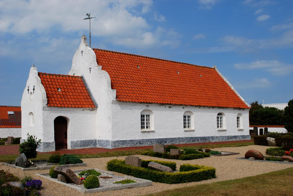
Mandø or Manø (Danish pronunciation: [mænøˀ]) is one of the Danish Wadden Sea islands off the southwest coast of Jutland, Denmark in the Wadden Sea, part of the North Sea. The island covers an area of 7.63 square kilometres (2.95 square miles) and had between 27-31 inhabitants in January 2022. The island is part of Esbjerg Municipality and is situated approximately 12 kilometres (7 miles) southwest of the ancient town of Ribe. Mandø is barely accessible by road at high tide over an unpaved surface level causeway of about four kilometers in length that connects the island to the mainland. Low tide transit is possible. Extensive mudflats and tidal marshes encircle the island and provide breeding areas to multitudes of birds and other organisms. In the past centuries several large earthen dikes have been constructed around the perimeter of the island, although substantially set back from the shoreline. This artifice has allowed conventional farming in the form of grain growing and sheep grazing. Mandø is technically a hallig, although it is far from the ten German islands commonly described by that term. The name was formerly often spelled Manø.
We use GPS information embedded into the photo when it is available.
3D mountains overlay
Adjust mountain panorama to perfectly match your photos because recorded by camera photo position might be imprecise.
Move tool
Rotate tool
Zoom
More customization
Choose which peak labels should make into the final photo and what photo title should be.
Next
Photo Location
Satellitte
Flat map
Relief map
Latitude
Longitude
Altitude
OR
Latitude
°'''
Longitude
°'''
Apply
Register Peak
Peak Name
Latitude
Longitude
Altitude
Register
Teleport
PeakVisor
This 3D model of Sagarmatha National Park in Nepal was made using the PeakVisor app topographic data. The mobile app features higher precision models worldwide, more topographic details, and works offline. Download PeakVisor maps today.
Download OBJ model
PeakVisor
The download should start shortly. If you find it useful please consider supporting the PeakVisor app.
PeakVisor for iOS and Android
Be a superhero of outdoor navigation with state-of-the-art 3D maps and mountain identification in the palm of your hand!