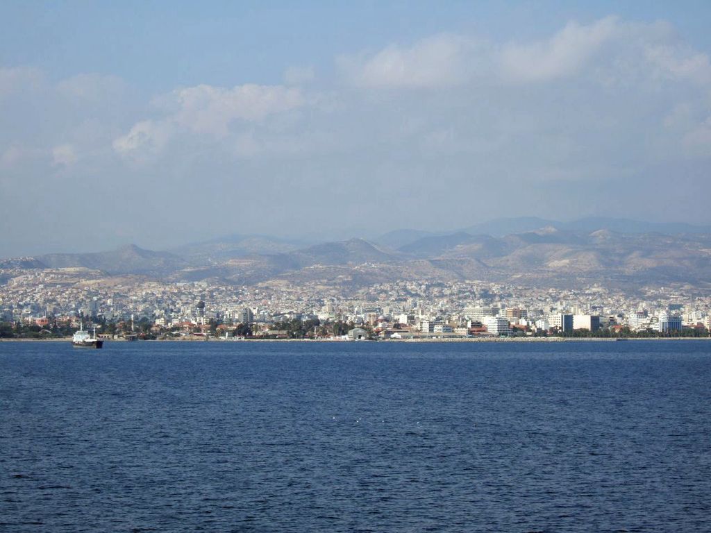
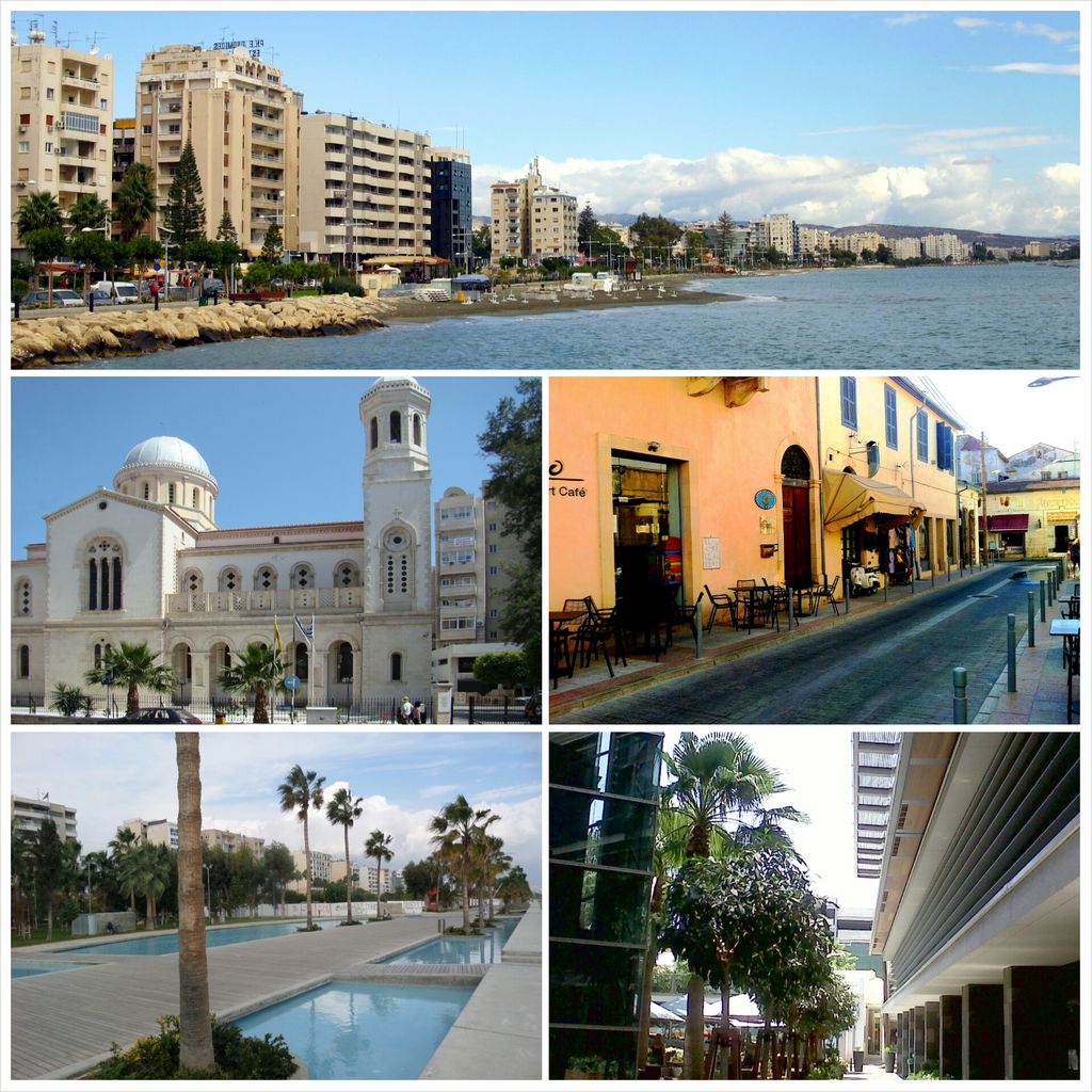
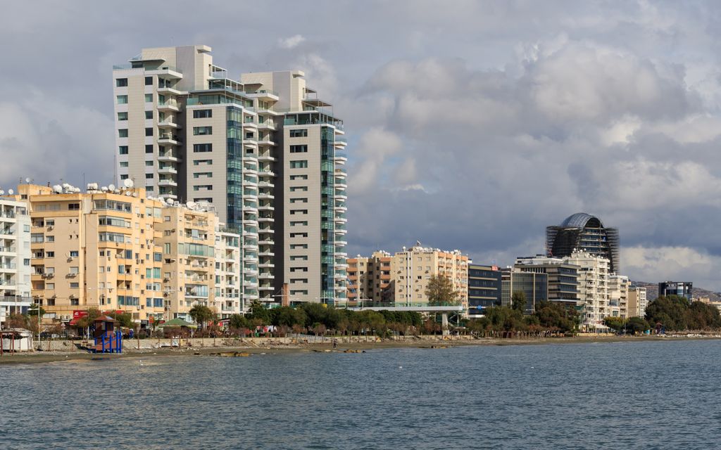
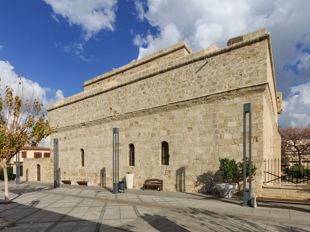
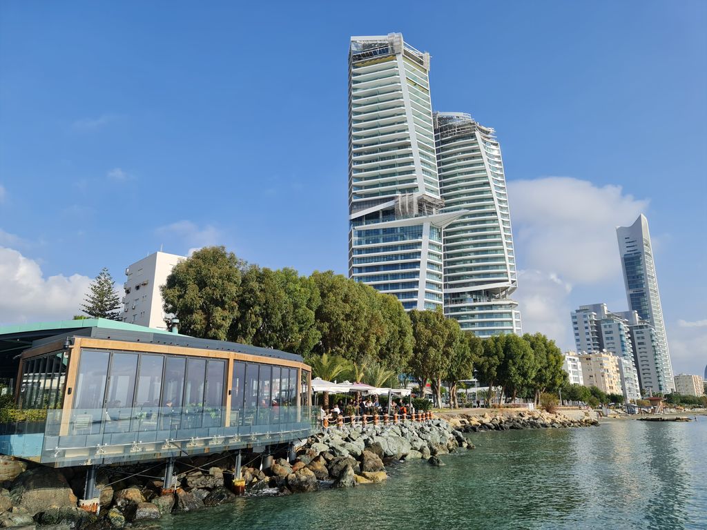
Limassol (; Greek: Λεμεσός, romanized: Lemesós [lemeˈsos]; Turkish: Limasol or Leymosun) is a city on the southern coast of Cyprus and capital of the Limassol district. Limassol is the second-largest urban area in Cyprus after Nicosia, with an urban population of 195,139 and a district population of 262,238. The Limassol municipality is the most populated in Cyprus, with a population of 108,105, followed by Strovolos municipality in Nicosia. Limassol was built between two ancient Greek cities, Amathus and Curium (also known as Kourion). Its historical centre is located around its medieval Limassol Castle and the Old Port. Today the city spreads along the Mediterranean coast and has extended much farther than the castle and port, with its suburbs stretching along the coast to Amathus. To the west of the city is Akrotiri, one of the two British Overseas Territories on the island, Akrotiri and Dhekelia. In 2014, Limassol was ranked by TripAdvisor as the 3rd up-and-coming destination in the world, in its Top 10 Traveler's Choice Destinations on the Rise list. The city is also ranked 89th worldwide in Mercer's Quality of Living Survey (2017). In the 2020 ranking published by the Globalization and World Cities Research Network, Limassol was classified as a "Gamma" (lit. 'global city'). In 2023, the largest integrated casino resort in Europe opened its doors in Limassol along the south coast. It spans 14 stories, with 500 rooms and houses as well as the island's largest pool area.
Show more
Sun and Moon
Mon
Tue
Wed
Thu
Fri
Sat
Sun
May 2022
Date and time
00:00
06:00
12:00
18:00
Today
--
--
Sunrise
--
Sunset
--
Moonrise
--
Moonset
Phase
🌔 Waxing Gibbous
The perfect light time for beautiful photos:
--
Sunrise
--
Sunset
PeakVisor app
Get the app on your smartphone
New Panorama Tools
Trace location on the map
Measure distances
All the instruments are available in the context menu as well.
We use GPS information embedded into the photo when it is available.
3D mountains overlay
Adjust mountain panorama to perfectly match your photos because recorded by camera photo position might be imprecise.
Move tool
Rotate tool
Zoom
More customization
Choose which peak labels should make into the final photo and what photo title should be.
Next
Photo Location
Satellitte
Flat map
Relief map
Latitude
Longitude
Altitude
OR
Latitude
°'''
Longitude
°'''
Apply
Register Peak
Peak Name
Latitude
Longitude
Altitude
Register
Teleport
PeakVisor
This 3D model of Sagarmatha National Park in Nepal was made using the PeakVisor app topographic data. The mobile app features higher precision models worldwide, more topographic details, and works offline. Download PeakVisor maps today.
Download OBJ model
PeakVisor
The download should start shortly. If you find it useful please consider supporting the PeakVisor app.
PeakVisor for iOS and Android
Be a superhero of outdoor navigation with state-of-the-art 3D maps and mountain identification in the palm of your hand!