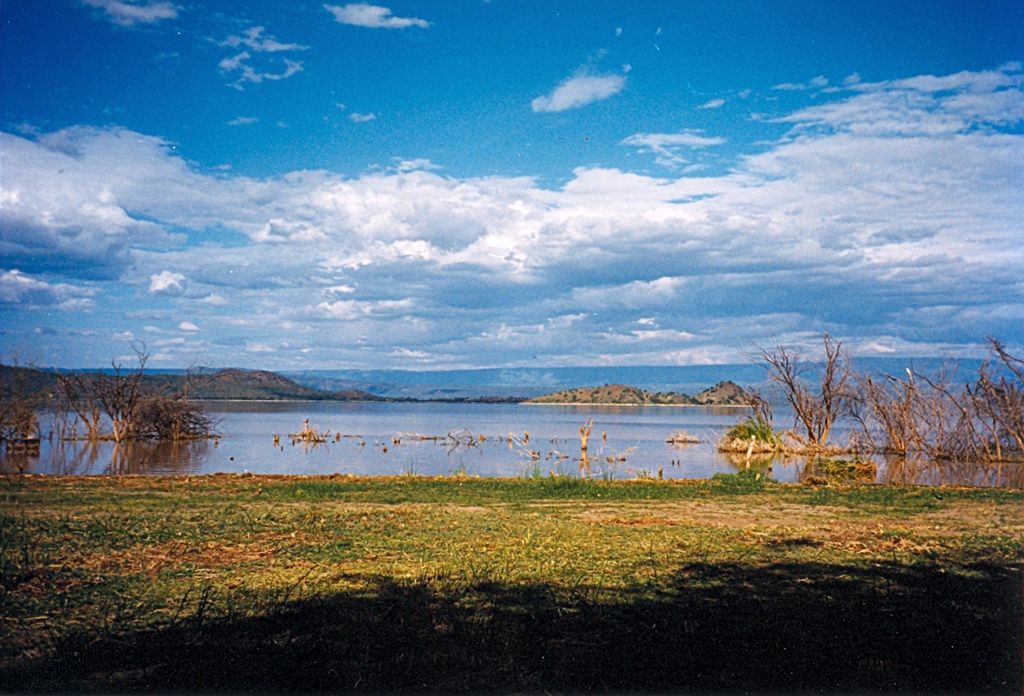
Lake Baringo is, after Lake Turkana, the most northern of the Kenyan Rift Valley lakes, with a surface area of 130 square kilometres (50 sq mi) and an elevation of 970 metres (3,180 ft). The lake is fed by several rivers: the Molo, Perkerra and Ol Arabel. It has no obvious outlet; the waters are assumed to seep through lake sediments into the faulted volcanic bedrock. It is one of the two freshwater lakes in the Rift Valley in Kenya, the other being Lake Naivasha. The lake is in a remote hot and dusty area with over 470 species of birds, occasionally including migrating flamingos. A Goliath heronry is located on a rocky islet in the lake known as Gibraltar. The existence of Lake Baringo was first reported in Europe by Ludwig Krapf and J. Rebmann, German missionaries stationed at Mombasa, about 1850; in J. H. Speke’s map of the Nile sources (1863) Baringo is confused with Kavirondo Gulf of Victoria Nyanza; it figures in Sir H. M. Stanley’s map (1877) as a large sheet of water N.E. of Victoria Nyanza. Joseph Thomson, in his journey through the Masai country in 1883, was the European to see the lake and to correct the exaggerated notions as to its size. Native tradition, however, asserts that the lake formerly covered a much larger area.
We use GPS information embedded into the photo when it is available.
3D mountains overlay
Adjust mountain panorama to perfectly match your photos because recorded by camera photo position might be imprecise.
Move tool
Rotate tool
Zoom
More customization
Choose which peak labels should make into the final photo and what photo title should be.
Next
Photo Location
Satellitte
Flat map
Relief map
Latitude
Longitude
Altitude
OR
Latitude
°'''
Longitude
°'''
Apply
Register Peak
Peak Name
Latitude
Longitude
Altitude
Register
Teleport
PeakVisor
This 3D model of Sagarmatha National Park in Nepal was made using the PeakVisor app topographic data. The mobile app features higher precision models worldwide, more topographic details, and works offline. Download PeakVisor maps today.
Download OBJ model
PeakVisor
The download should start shortly. If you find it useful please consider supporting the PeakVisor app.
PeakVisor for iOS and Android
Be a superhero of outdoor navigation with state-of-the-art 3D maps and mountain identification in the palm of your hand!