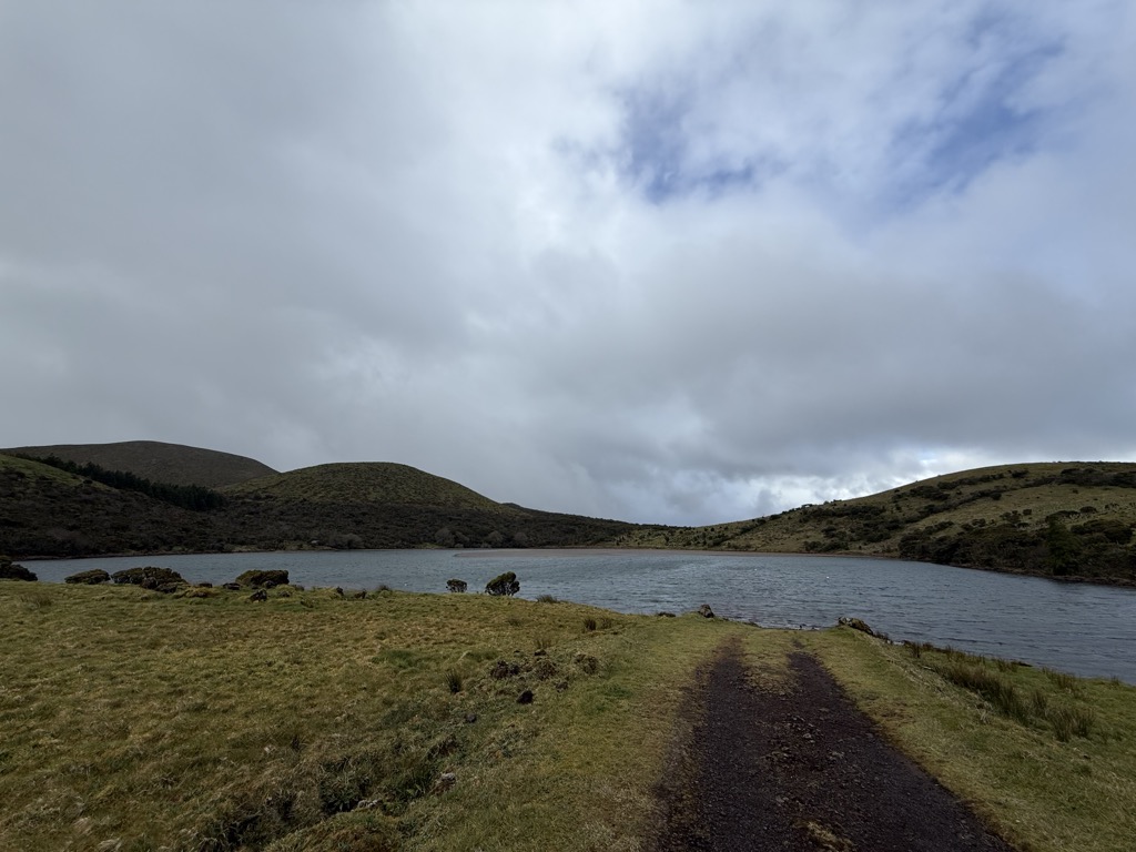
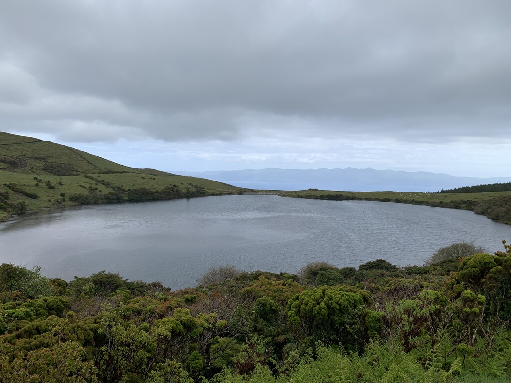
Lagoa do Caiado is the largest lake on Pico Island, Azores. The high-altitude lake is located on the Achada Plateau, an extensive volcanic mountain range covering most of the central area of the island. The waters are clear and are used for public supply since 1993. Sitting at around 822 m (2,697 ft) in altitude, in a cinder cone dominated landscape, the area around the lake is densely vegetated due to the extreme humidity it gets (around 4,698 mm (185.0 in) of precipitation each year). Unlike the rest of the Azores, which have been subject to introduction of exotic species, most of the plant-life around the lake is endemic to the archipelago (Juniperus brevifolia, Picconia azorica, Erica azorica, Vaccinium cylindraceum). It is one of the best spots for birdwatching in the island, most commonly found are the Eurasian woodcock, the common snipe, the Eurasian teal, the grey heron, the wagtails and the Azores chaffinch. The lake is located within the Partial Natural Forest Reserve of Lagoa do Caiado; the Special Conservation Zone of Mount Pico, Prainha and Caveiro; the Special Protection Zone of the Central Zone of Pico; and the Geopark of the Achada Plateau.
We use GPS information embedded into the photo when it is available.
3D mountains overlay
Adjust mountain panorama to perfectly match your photos because recorded by camera photo position might be imprecise.
Move tool
Rotate tool
Zoom
More customization
Choose which peak labels should make into the final photo and what photo title should be.
Next
Photo Location
Satellitte
Flat map
Relief map
Latitude
Longitude
Altitude
OR
Latitude
°'''
Longitude
°'''
Apply
Register Peak
Peak Name
Latitude
Longitude
Altitude
Register
Teleport
PeakVisor
This 3D model of Sagarmatha National Park in Nepal was made using the PeakVisor app topographic data. The mobile app features higher precision models worldwide, more topographic details, and works offline. Download PeakVisor maps today.
Download OBJ model
PeakVisor
The download should start shortly. If you find it useful please consider supporting the PeakVisor app.
PeakVisor for iOS and Android
Be a superhero of outdoor navigation with state-of-the-art 3D maps and mountain identification in the palm of your hand!