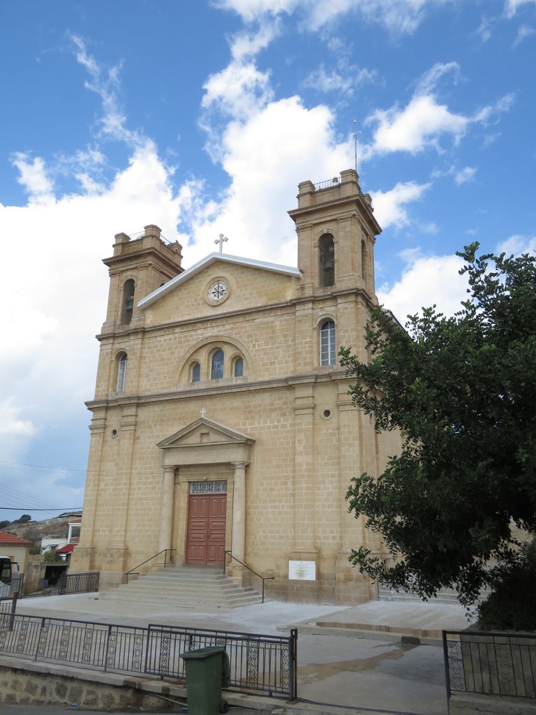
Kormakitis (Cypriot Arabic: Kurmajit; Greek: Κορμακίτης, Kormakítis; Turkish: Kormacit or Koruçam) is a small village in Cyprus. It is under the de facto control of Northern Cyprus. Kormakitis is one of four traditionally Maronite villages in Cyprus, the other three being Asomatos, Agia Marina and Karpaseia. The Maronites of Kormakitis traditionally speak their own variety of Arabic called Cypriot Maronite Arabic (CMA) in addition to Greek and recently Turkish and they follow the Catholic Maronite Church. Cape Kormakitis is named after the village. All of the remaining Maronites villagers are elderly. The Republic of Cyprus government gives those who stayed in the north pensions of $670 a month per couple and around $430 for an individual. It also pays instructors to teach CMA, and funds week-long summer visits by young Maronites to put them in touch with their communal roots. Maronites also receive help from the United Nations. Every two weeks UN troops make the trip from Nicosia to deliver food, water, fuel and medical supplies across the border to the north's Maronite population. The UN aid convoy is manned by soldiers from the 12 Regiment Royal Artillery. Aid is funded by the Republic of Cyprus government but is delivered by the UN. During the weekends the population of Kormakitis increases to more than 600 as displaced former residents return to visit relatives and celebrate Mass. Access has been made easier since 2003 when the Turkish Cypriot authorities relaxed rules on visits to Northern Cyprus. Many Maronites who were displaced from Kormakitis have renovated and upgraded the village and homes for weekend use.
Show more
Sun and Moon
Mon
Tue
Wed
Thu
Fri
Sat
Sun
May 2022
Date and time
00:00
06:00
12:00
18:00
Today
--
--
Sunrise
--
Sunset
--
Moonrise
--
Moonset
Phase
🌔 Waxing Gibbous
The perfect light time for beautiful photos:
--
Sunrise
--
Sunset
PeakVisor app
Get the app on your smartphone
New Panorama Tools
Trace location on the map
Measure distances
All the instruments are available in the context menu as well.
We use GPS information embedded into the photo when it is available.
3D mountains overlay
Adjust mountain panorama to perfectly match your photos because recorded by camera photo position might be imprecise.
Move tool
Rotate tool
Zoom
More customization
Choose which peak labels should make into the final photo and what photo title should be.
Next
Photo Location
Satellitte
Flat map
Relief map
Latitude
Longitude
Altitude
OR
Latitude
°'''
Longitude
°'''
Apply
Register Peak
Peak Name
Latitude
Longitude
Altitude
Register
Teleport
PeakVisor
This 3D model of Sagarmatha National Park in Nepal was made using the PeakVisor app topographic data. The mobile app features higher precision models worldwide, more topographic details, and works offline. Download PeakVisor maps today.
Download OBJ model
PeakVisor
The download should start shortly. If you find it useful please consider supporting the PeakVisor app.
PeakVisor for iOS and Android
Be a superhero of outdoor navigation with state-of-the-art 3D maps and mountain identification in the palm of your hand!