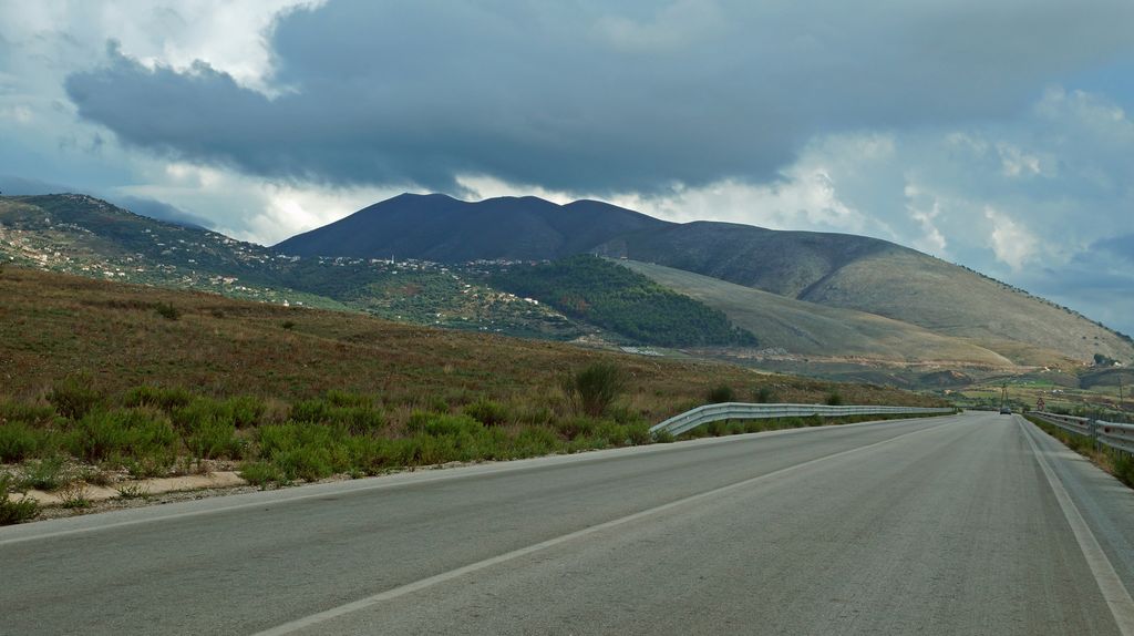
Konispol (Albanian definite form: Konispoli) is the southernmost town in Albania. It sits one kilometer away from the Albanian-Greek border. The settlement is inhabited by Muslim Cham Albanians. Konispol is the modern centre of the Cham Albanian community in Albania. The main economic interests of Konispol are agriculture and viticulture. The town is the seat of the southernmost administrative unit in Albania, the Municipality of Konispol (Albanian: Bashkia Konispol). It was formed during the 2015 local government reform by the merger of the former municipalities of Konispol, Markat and Xarrë. The total population is 8,245 (2011 census), in a total area of 226.26 km2. The population of the former Konispol municipality at the 2011 census was 2,123. The former Konispol municipal unit (pre-2015) consisted of the town Konispol and the village Çiflik. The new larger municipality of Konispol contains settlements that are inhabited by Albanians who form the majority of the population, Aromanians, Greeks and Romani that live in the villages of Xarrë municipal unit.
Show more
Sun and Moon
Mon
Tue
Wed
Thu
Fri
Sat
Sun
May 2022
Date and time
00:00
06:00
12:00
18:00
Today
--
--
Sunrise
--
Sunset
--
Moonrise
--
Moonset
Phase
🌔 Waxing Gibbous
The perfect light time for beautiful photos:
--
Sunrise
--
Sunset
PeakVisor app
Get the app on your smartphone
New Panorama Tools
Trace location on the map
Measure distances
All the instruments are available in the context menu as well.
We use GPS information embedded into the photo when it is available.
3D mountains overlay
Adjust mountain panorama to perfectly match your photos because recorded by camera photo position might be imprecise.
Move tool
Rotate tool
Zoom
More customization
Choose which peak labels should make into the final photo and what photo title should be.
Next
Photo Location
Satellitte
Flat map
Relief map
Latitude
Longitude
Altitude
OR
Latitude
°'''
Longitude
°'''
Apply
Register Peak
Peak Name
Latitude
Longitude
Altitude
Register
Teleport
PeakVisor
This 3D model of Sagarmatha National Park in Nepal was made using the PeakVisor app topographic data. The mobile app features higher precision models worldwide, more topographic details, and works offline. Download PeakVisor maps today.
Download OBJ model
PeakVisor
The download should start shortly. If you find it useful please consider supporting the PeakVisor app.
PeakVisor for iOS and Android
Be a superhero of outdoor navigation with state-of-the-art 3D maps and mountain identification in the palm of your hand!