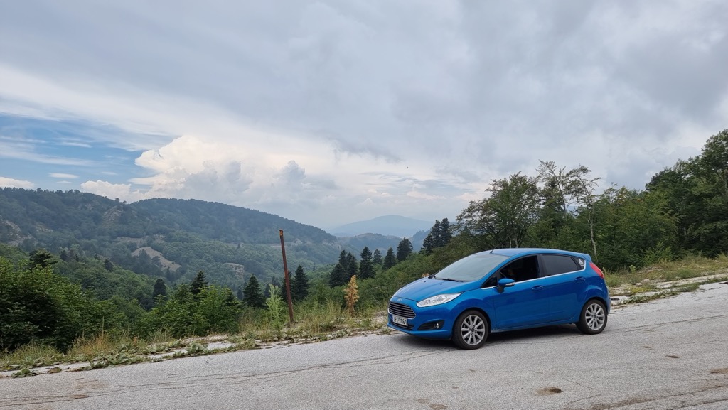
The Katara Pass or Metsovo Pass (Greek: Πέρασμα της Κατάρας) is a mountain pass in the Pindus mountains in northern Greece. It is 5 km (3 mi) northeast of the town Metsovo. Situated on the border of Epirus (Ioannina regional unit) and Thessaly (Trikala regional unit), it forms the divide between the river basins of the Aoos to the southwest and the Pineios to the east. Its elevation is about 1,705 m (5,595 ft) making it one of the highest in the nation. Greek National Road 6 (Larissa - Trikala - Metsovo - Ioannina - Igoumenitsa) crosses the Katara Pass. With the opening of the Egnatia Odos motorway which passes through tunnels further south, traffic has sharply declined.
Show more
Sun and Moon
Mon
Tue
Wed
Thu
Fri
Sat
Sun
May 2022
Date and time
00:00
06:00
12:00
18:00
Today
--
--
Sunrise
--
Sunset
--
Moonrise
--
Moonset
Phase
🌔 Waxing Gibbous
The perfect light time for beautiful photos:
--
Sunrise
--
Sunset
PeakVisor app
Get the app on your smartphone
New Panorama Tools
Trace location on the map
Measure distances
All the instruments are available in the context menu as well.
We use GPS information embedded into the photo when it is available.
3D mountains overlay
Adjust mountain panorama to perfectly match your photos because recorded by camera photo position might be imprecise.
Move tool
Rotate tool
Zoom
More customization
Choose which peak labels should make into the final photo and what photo title should be.
Next
Photo Location
Satellitte
Flat map
Relief map
Latitude
Longitude
Altitude
OR
Latitude
°'''
Longitude
°'''
Apply
Register Peak
Peak Name
Latitude
Longitude
Altitude
Register
Teleport
PeakVisor
This 3D model of Sagarmatha National Park in Nepal was made using the PeakVisor app topographic data. The mobile app features higher precision models worldwide, more topographic details, and works offline. Download PeakVisor maps today.
Download OBJ model
PeakVisor
The download should start shortly. If you find it useful please consider supporting the PeakVisor app.
PeakVisor for iOS and Android
Be a superhero of outdoor navigation with state-of-the-art 3D maps and mountain identification in the palm of your hand!