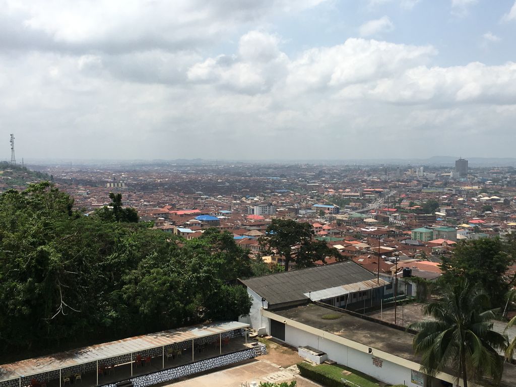
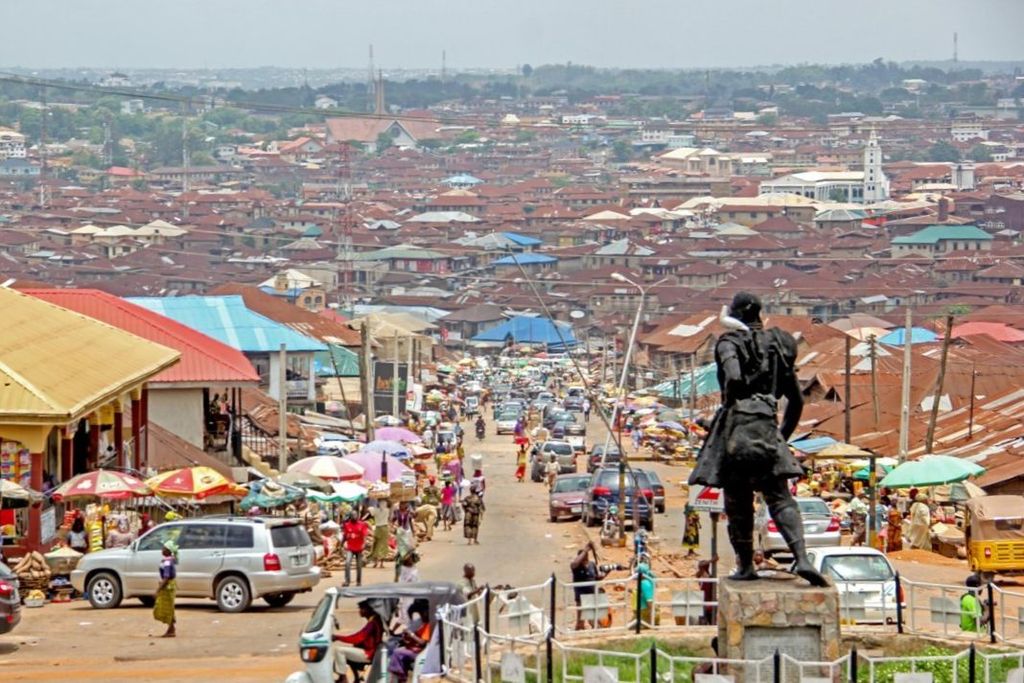
Ibadan (UK: , US: ; Yoruba: Ìbàdàn) is the capital and most populous city of Oyo State, in Nigeria. It is the third-largest city by population in Nigeria after Lagos and Kano, with a total population of 2,649,000 as of 2021, and over 3 million people within its metropolitan area. It is one of the country's largest cities by geographical area. At the time of Nigeria's independence in 1960, Ibadan was the largest and most populous city in the country, and the second-most populous in Africa behind Cairo. Ibadan is ranked one of the fastest-growing cities in sub-Saharan Africa, according to the UN Human Settlements Program (2022). It is also ranked third in West Africa in the tech startups index. Ibadan joined the UNESCO Global Network of Learning Cities in 2016. Ibadan is located in south-western Nigeria, 128 kilometres (80 mi) inland northeast of Lagos and 530 kilometres (330 mi) southwest of Abuja, the federal capital. It is a prominent transit point between the coastal region and areas in the hinterland of the country. Ibadan had been the administrative center of the old Western Region since the early days of British colonial rule, and parts of the city's ancient protective walls still stand to this day. The principal inhabitants of the city are the Yoruba people, as well as various communities (notably Igbo, Hausa, Edo, and Ibibio) from other parts of the country.
Show more
Sun and Moon
Mon
Tue
Wed
Thu
Fri
Sat
Sun
May 2022
Date and time
00:00
06:00
12:00
18:00
Today
--
--
Sunrise
--
Sunset
--
Moonrise
--
Moonset
Phase
🌔 Waxing Gibbous
The perfect light time for beautiful photos:
--
Sunrise
--
Sunset
PeakVisor app
Get the app on your smartphone
New Panorama Tools
Trace location on the map
Measure distances
All the instruments are available in the context menu as well.
We use GPS information embedded into the photo when it is available.
3D mountains overlay
Adjust mountain panorama to perfectly match your photos because recorded by camera photo position might be imprecise.
Move tool
Rotate tool
Zoom
More customization
Choose which peak labels should make into the final photo and what photo title should be.
Next
Photo Location
Satellitte
Flat map
Relief map
Latitude
Longitude
Altitude
OR
Latitude
°'''
Longitude
°'''
Apply
Register Peak
Peak Name
Latitude
Longitude
Altitude
Register
Teleport
PeakVisor
This 3D model of Sagarmatha National Park in Nepal was made using the PeakVisor app topographic data. The mobile app features higher precision models worldwide, more topographic details, and works offline. Download PeakVisor maps today.
Download OBJ model
PeakVisor
The download should start shortly. If you find it useful please consider supporting the PeakVisor app.
PeakVisor for iOS and Android
Be a superhero of outdoor navigation with state-of-the-art 3D maps and mountain identification in the palm of your hand!