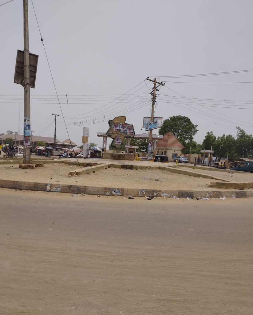
Haɗejiya (also Haɗeja, previously Biram) is a Hausa town in eastern Jigawa State, northern Nigeria. Hadejia lies between latitude 12.4506N and longitude 10.0404E. It shares boundary with Kiri Kasama Local Government to the east, Mallam Maɗori Local Government from to the north, and Auyo Local Government to the west. The Hadejia Local Government consist of eleven (11) political wards, namely: Atafi, Dubantu, Gagulmari, Kasuwar Ƙofa, Kasuwar Kuda, Matsaro, Majema, Rumfa, Sabon Garu, Ƴankoli and Yayari. Inhabitants are dominantly Hausa, Fulani and Kanuri with some other groups such as Tiv, Yoruba, Igbo, Igala etc. The dominant occupation of the inhabitants is crop-farming and animal rearing which a considerable percentage, engaged in trading, fishing and services including civil service. The people of Haɗeja are largely Muslims, although some follow indigenous belief systems. The town lies to the north of the Hadejia River, and is upstream from the Hadejia-Nguru wetlands. Hadejia is an internationally important ecological and sensitive zone. Hadejia was once known as Biram, and is referred to as one of the "seven true Hausa states" (Hausa Bakwai), because it was ruled by the descendants of the Hausa mythological figure Bayajidda and his second wife, Daurama. By 1810, during the Fulani War, the Hausa rulers of the Hausa Bakwai had all been overcome by the Fulani. Haɗeja had been transformed into an emirate two years earlier, in 1808. In 1906 Haɗeja resisted British occupation, under the then Emir (Muhammadu Mai-Shahada). Haɗejiya was absorbed into Jigawa State in 1991 from Kano State. The Haɗeja is home to majorly 4 tertiary institutions, which are: Binyaminu Usman Polytechnic Hadejia, School of Nursing Hadejia, National Teachers Institutes Hadejia Study Centre.
Show more
Sun and Moon
Mon
Tue
Wed
Thu
Fri
Sat
Sun
May 2022
Date and time
00:00
06:00
12:00
18:00
Today
--
--
Sunrise
--
Sunset
--
Moonrise
--
Moonset
Phase
🌔 Waxing Gibbous
The perfect light time for beautiful photos:
--
Sunrise
--
Sunset
PeakVisor app
Get the app on your smartphone
New Panorama Tools
Trace location on the map
Measure distances
All the instruments are available in the context menu as well.
We use GPS information embedded into the photo when it is available.
3D mountains overlay
Adjust mountain panorama to perfectly match your photos because recorded by camera photo position might be imprecise.
Move tool
Rotate tool
Zoom
More customization
Choose which peak labels should make into the final photo and what photo title should be.
Next
Photo Location
Satellitte
Flat map
Relief map
Latitude
Longitude
Altitude
OR
Latitude
°'''
Longitude
°'''
Apply
Register Peak
Peak Name
Latitude
Longitude
Altitude
Register
Teleport
PeakVisor
This 3D model of Sagarmatha National Park in Nepal was made using the PeakVisor app topographic data. The mobile app features higher precision models worldwide, more topographic details, and works offline. Download PeakVisor maps today.
Download OBJ model
PeakVisor
The download should start shortly. If you find it useful please consider supporting the PeakVisor app.
PeakVisor for iOS and Android
Be a superhero of outdoor navigation with state-of-the-art 3D maps and mountain identification in the palm of your hand!