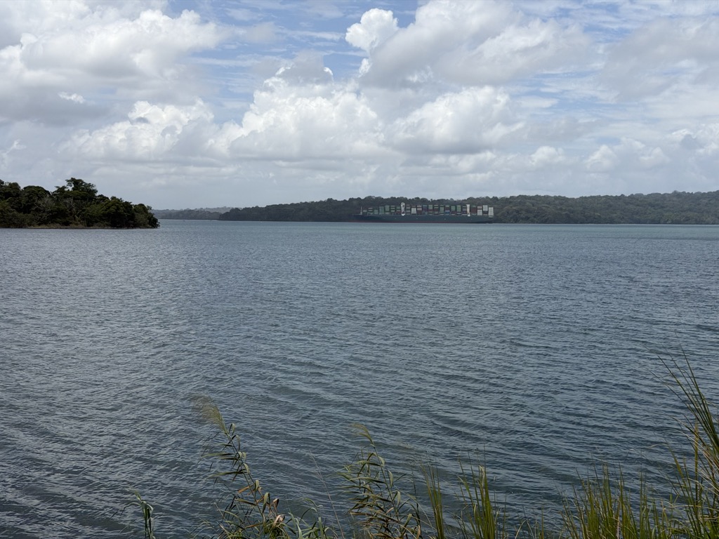
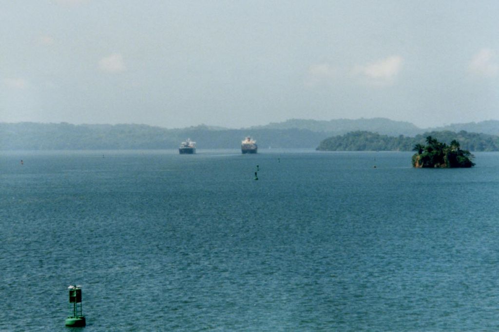
Gatun Lake (Spanish: Lago Gatún) is a freshwater artificial lake to the south of Colón, Panama. At approximately 26 m (85 ft) above sea level, it forms a major part of the Panama Canal, carrying ships 33 km (21 mi) of their transit across the Isthmus of Panama. It was created June 27, 1913 when the gates of the spillway at Gatun Dam were closed. The water level was about 14.6 m (48 ft) above sea level and was expected to fill to operating levels in the next six months.
We use GPS information embedded into the photo when it is available.
3D mountains overlay
Adjust mountain panorama to perfectly match your photos because recorded by camera photo position might be imprecise.
Move tool
Rotate tool
Zoom
More customization
Choose which peak labels should make into the final photo and what photo title should be.
Next
Photo Location
Satellitte
Flat map
Relief map
Latitude
Longitude
Altitude
OR
Latitude
°'''
Longitude
°'''
Apply
Register Peak
Peak Name
Latitude
Longitude
Altitude
Register
Teleport
PeakVisor
This 3D model of Sagarmatha National Park in Nepal was made using the PeakVisor app topographic data. The mobile app features higher precision models worldwide, more topographic details, and works offline. Download PeakVisor maps today.
Download OBJ model
PeakVisor
The download should start shortly. If you find it useful please consider supporting the PeakVisor app.
PeakVisor for iOS and Android
Be a superhero of outdoor navigation with state-of-the-art 3D maps and mountain identification in the palm of your hand!