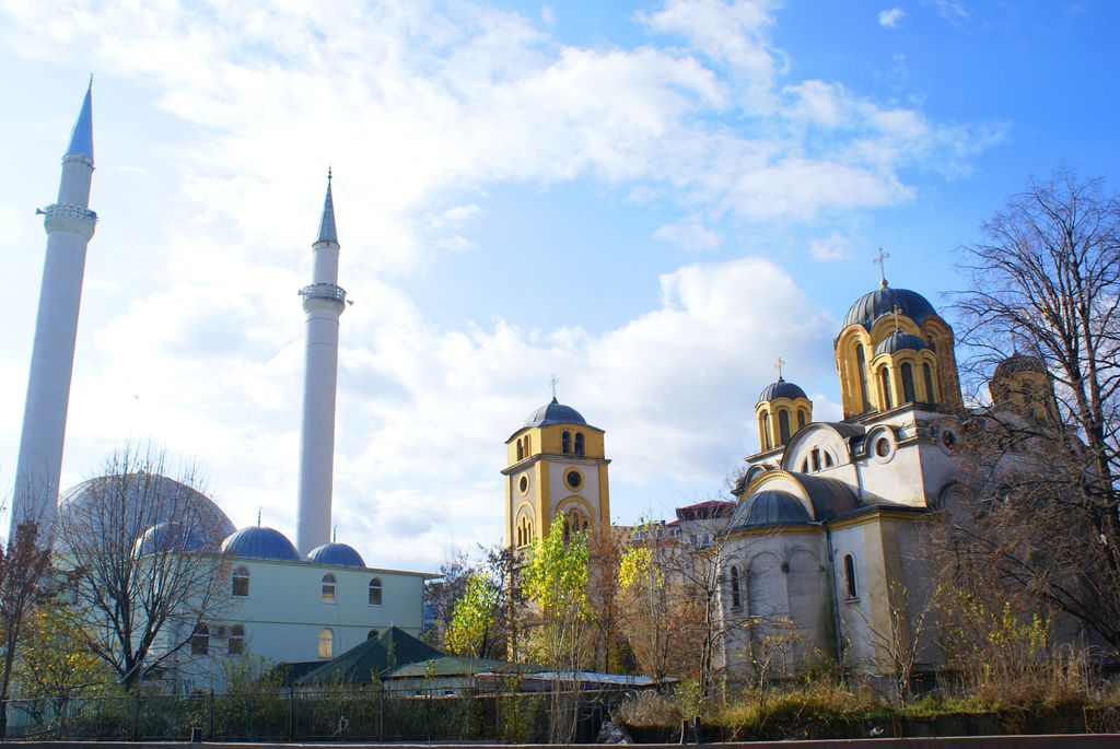
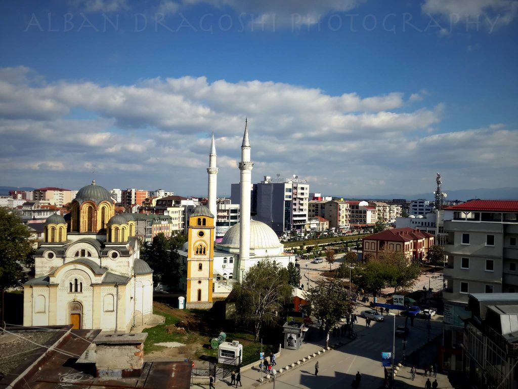
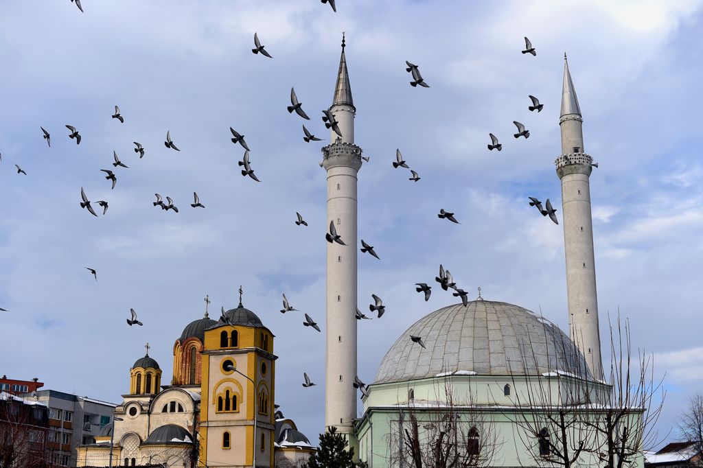
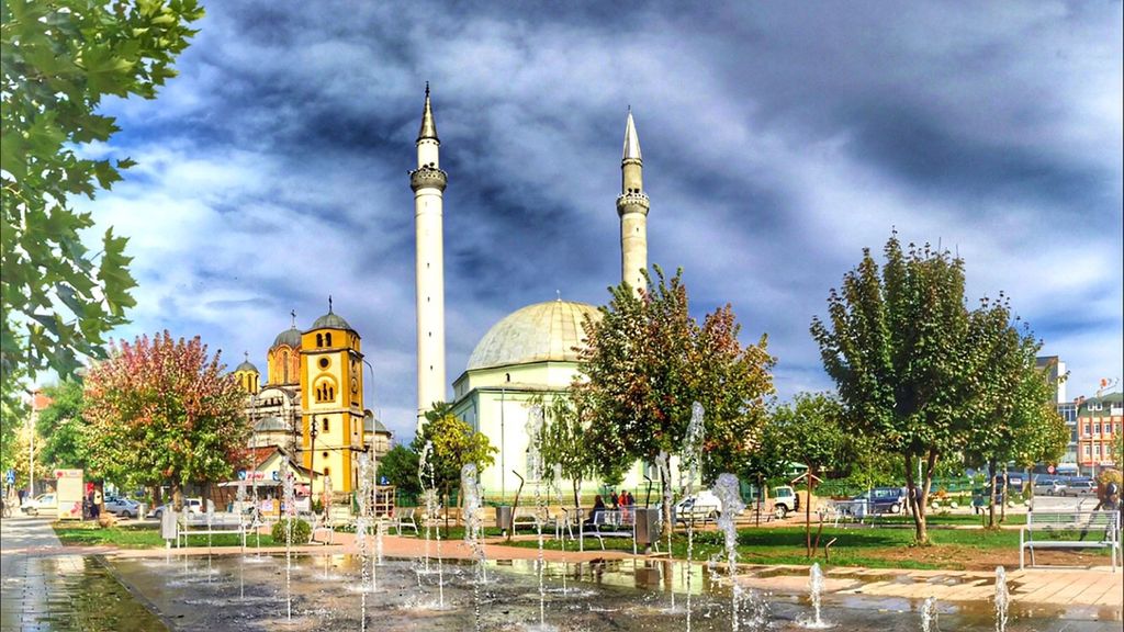
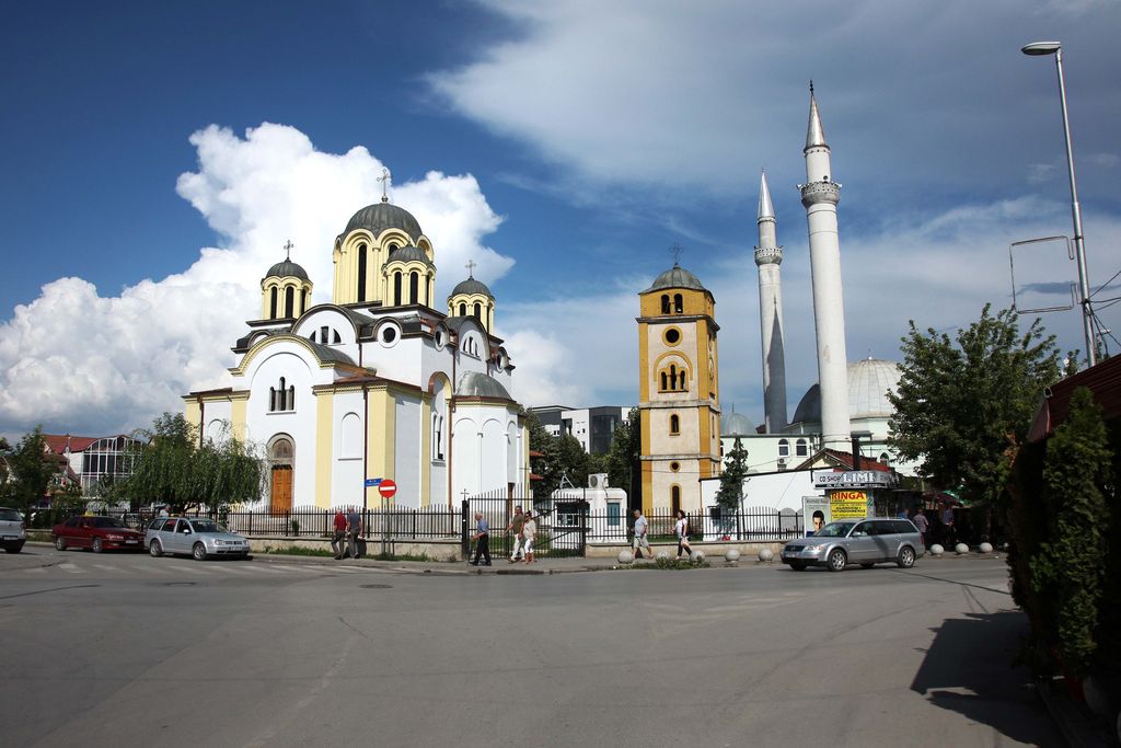
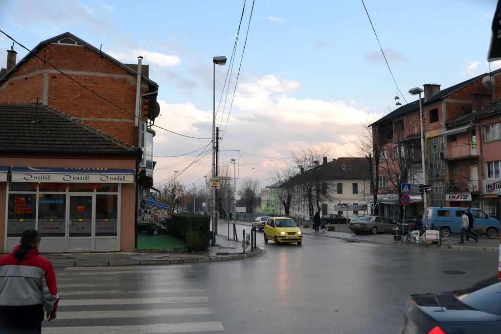
Ferizaj or Uroševac, is a city and a municipality in Kosovo. It is the third largest city in Kosovo by population and also the seat of Ferizaj Municipality and the Ferizaj District. Ferizaj has been populated since the prehistoric era by the Starčevo, Vinča and Baden culture. During the Ottoman period, Ferizaj served as a trading center on the route between Belgrade and Thessaloniki. Ferizaj has always been considered as a city where tolerance and coexistence in terms of religion and culture has been part of the society in the last centuries. During and after the Kosovo War in 1999, the US Army base Camp Bondsteel was established outside of the city, now being used by forces belonging to KFOR. It is the largest and the most expensive foreign military base built by the Americans in South Eastern Europe, since the Vietnam War. Ferizaj is located in the south-eastern part of Kosovo, about halfway between the cities of Pristina and Skopje. It is some 230 kilometres north-east of Tirana, 55 kilometres north of Skopje, 300 kilometres west of Sofia, 35 kilometres south of Pristina and 300 kilometres east of Podgorica. Ferizaj is also known for a geographic phenomenon known as river bifurcation. The Nerodime river is divided into two branches and both flow into two different seas. This phenomenon is exclusively seen in nature in this example, and that of the river Casiquiare, Brazil. Since 2016, the MuralFest festival has been organised annually by the organisation with the same name MuralFest Kosova by painting murals in public spaces, it eventually spread to other cities in Kosovo, the festival has been attracting the attention of international media since last year, it is attended by famous mural artists around the world.
Show more
Sun and Moon
Mon
Tue
Wed
Thu
Fri
Sat
Sun
May 2022
Date and time
00:00
06:00
12:00
18:00
Today
--
--
Sunrise
--
Sunset
--
Moonrise
--
Moonset
Phase
🌔 Waxing Gibbous
The perfect light time for beautiful photos:
--
Sunrise
--
Sunset
PeakVisor app
Get the app on your smartphone
New Panorama Tools
Trace location on the map
Measure distances
All the instruments are available in the context menu as well.
We use GPS information embedded into the photo when it is available.
3D mountains overlay
Adjust mountain panorama to perfectly match your photos because recorded by camera photo position might be imprecise.
Move tool
Rotate tool
Zoom
More customization
Choose which peak labels should make into the final photo and what photo title should be.
Next
Photo Location
Satellitte
Flat map
Relief map
Latitude
Longitude
Altitude
OR
Latitude
°'''
Longitude
°'''
Apply
Register Peak
Peak Name
Latitude
Longitude
Altitude
Register
Teleport
PeakVisor
This 3D model of Sagarmatha National Park in Nepal was made using the PeakVisor app topographic data. The mobile app features higher precision models worldwide, more topographic details, and works offline. Download PeakVisor maps today.
Download OBJ model
PeakVisor
The download should start shortly. If you find it useful please consider supporting the PeakVisor app.
PeakVisor for iOS and Android
Be a superhero of outdoor navigation with state-of-the-art 3D maps and mountain identification in the palm of your hand!