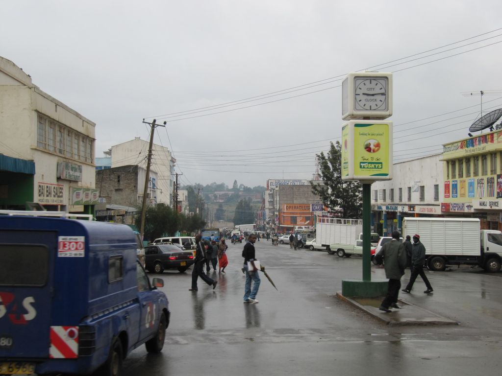
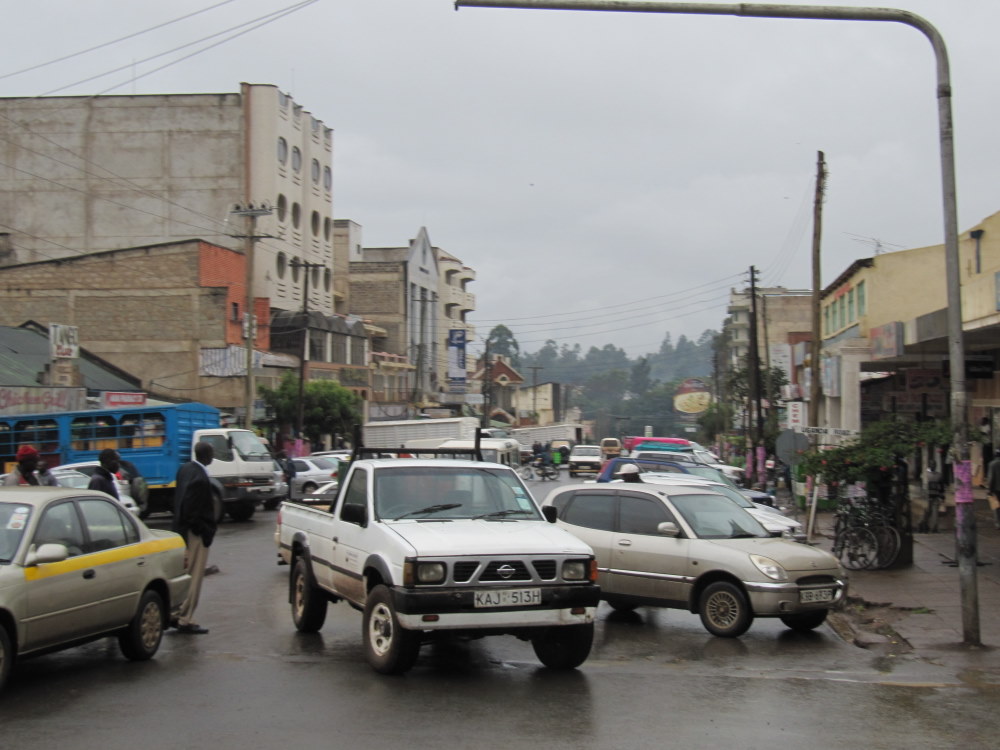
Eldoret is town and urban centre in Kenya. Gazetted as a municipality, it is in the Rift Valley region, and it serves as the capital of Uasin Gishu County. The town was referred to by white settlers as Farm 64 and colloquially by locals as 'Sisibo'. As per the 2019 population census, Eldoret is the fifth most populated urban area in the country after Nairobi, Mombasa, Nakuru and Ruiru. Lying south of the Cherangani Hills, the local elevation varies from about 2,100 metres (6,900 ft) at the airport to more than 2,700 metres (8,900 ft) in nearby areas. The population was 289,380 in the 2009 Census, and it was the fastest growing city in Kenya with 475,716 people according to 2019 National Census. Eldoret was on course to be named Kenya's fourth city, but was edged out by Nakuru in 2021.
We use GPS information embedded into the photo when it is available.
3D mountains overlay
Adjust mountain panorama to perfectly match your photos because recorded by camera photo position might be imprecise.
Move tool
Rotate tool
Zoom
More customization
Choose which peak labels should make into the final photo and what photo title should be.
Next
Photo Location
Satellitte
Flat map
Relief map
Latitude
Longitude
Altitude
OR
Latitude
°'''
Longitude
°'''
Apply
Register Peak
Peak Name
Latitude
Longitude
Altitude
Register
Teleport
PeakVisor
This 3D model of Sagarmatha National Park in Nepal was made using the PeakVisor app topographic data. The mobile app features higher precision models worldwide, more topographic details, and works offline. Download PeakVisor maps today.
Download OBJ model
PeakVisor
The download should start shortly. If you find it useful please consider supporting the PeakVisor app.
PeakVisor for iOS and Android
Be a superhero of outdoor navigation with state-of-the-art 3D maps and mountain identification in the palm of your hand!