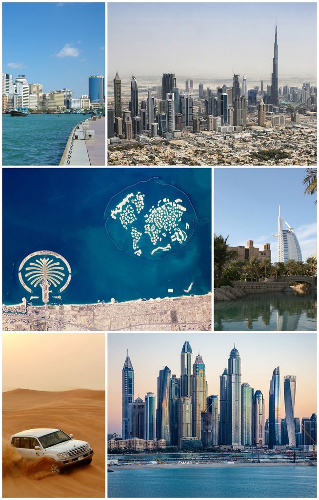
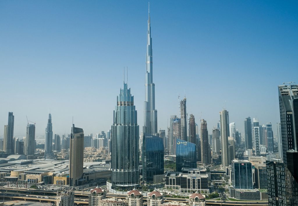
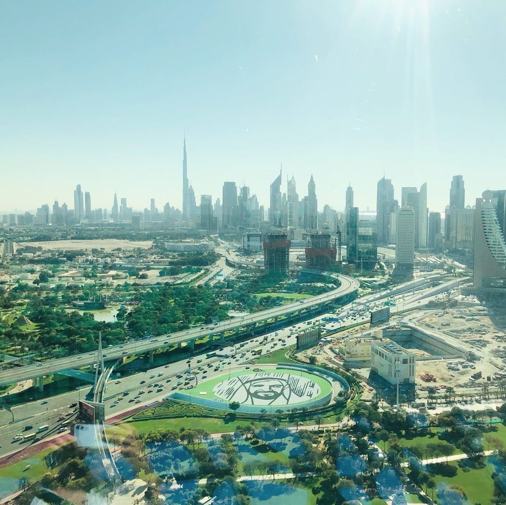
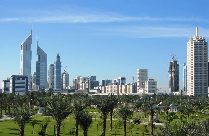
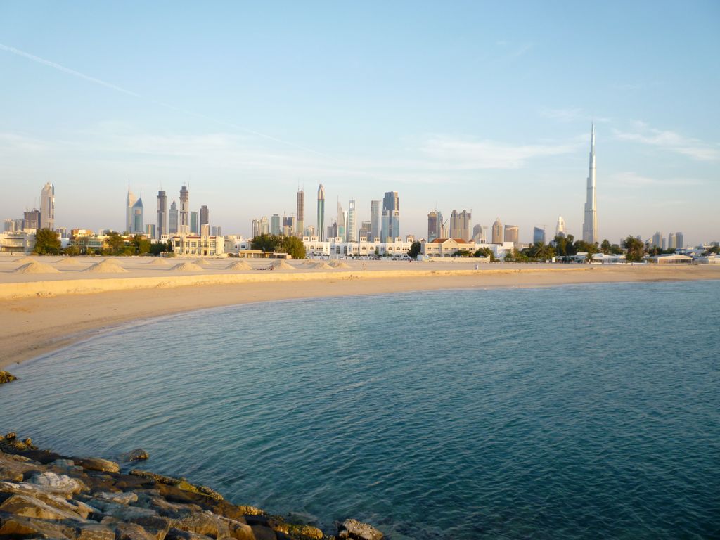
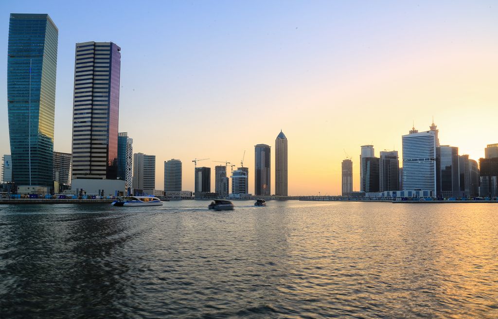
Dubai (, doo-BYE; Arabic: دبي, romanized: Dubayy, IPA: [dʊˈbajj], Gulf Arabic pronunciation: [dəˈbæj]) is the most populous city in the United Arab Emirates (UAE) and the capital of the Emirate of Dubai, the most populated of the country's seven emirates. Founded in the 1800s as a fishing village, Dubai has emerged as a major center for regional and international trade since the early 20th century and early 21st centuries with a focus on tourism and luxury. It has the second-most five-star hotels in the world and the tallest building in the world, the Burj Khalifa, which is 828 metres (2,717 ft) tall. In the eastern Arabian Peninsula, on the coast of the Persian Gulf, it is a major global transport hub for passengers and cargo. Oil revenue helped accelerate the development of the city, which was already a major mercantile hub. Dubai has been a center for regional and international trade since the early 20th century, and its economy relies on revenues from trade, tourism, aviation, real estate, and financial services. Oil production contributed less than 1 percent of the emirate's GDP in 2018. The city has a population of around 3.60 million (as of 2022). More than 90% of the population are expatriates.
Show more
Sun and Moon
Mon
Tue
Wed
Thu
Fri
Sat
Sun
May 2022
Date and time
00:00
06:00
12:00
18:00
Today
--
--
Sunrise
--
Sunset
--
Moonrise
--
Moonset
Phase
🌔 Waxing Gibbous
The perfect light time for beautiful photos:
--
Sunrise
--
Sunset
PeakVisor app
Get the app on your smartphone
New Panorama Tools
Trace location on the map
Measure distances
All the instruments are available in the context menu as well.
We use GPS information embedded into the photo when it is available.
3D mountains overlay
Adjust mountain panorama to perfectly match your photos because recorded by camera photo position might be imprecise.
Move tool
Rotate tool
Zoom
More customization
Choose which peak labels should make into the final photo and what photo title should be.
Next
Photo Location
Satellitte
Flat map
Relief map
Latitude
Longitude
Altitude
OR
Latitude
°'''
Longitude
°'''
Apply
Register Peak
Peak Name
Latitude
Longitude
Altitude
Register
Teleport
PeakVisor
This 3D model of Sagarmatha National Park in Nepal was made using the PeakVisor app topographic data. The mobile app features higher precision models worldwide, more topographic details, and works offline. Download PeakVisor maps today.
Download OBJ model
PeakVisor
The download should start shortly. If you find it useful please consider supporting the PeakVisor app.
PeakVisor for iOS and Android
Be a superhero of outdoor navigation with state-of-the-art 3D maps and mountain identification in the palm of your hand!


.jpg)
.jpg)