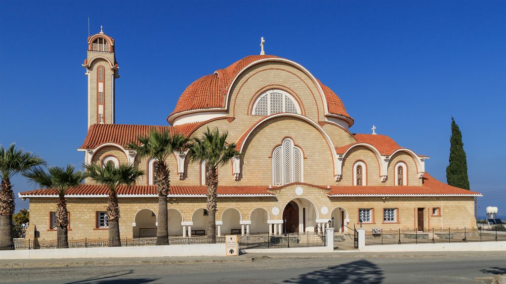
Deryneia (Greek: Δερύνεια; Turkish: Derinya) is a large village in the island of Cyprus. It is located on the east side of the island, 2 km (1 mi) south of the city of Famagusta. The population of the village is 5,758 (October 2011 census) and it consists of a municipality since 1994. The current mayor is Andros Karayiannis. Since the 1974 Turkish invasion of Cyprus, around 75% of the village terrain is in Northern Cyprus. The village is 12 kilometers from the famous resort of Ayia Napa. The "Ghost Town" of Varosha can be clearly viewed from the roof of the Cultural Centre, as can the craters from shells fired during the invasion in the field opposite. The village has agricultural land around it, and is one of the "Kokkinochoria" (red villages) so called from the red soil. Potatoes are widely grown but Deryneia is famous for its strawberries and holds a biennial strawberry festival at the football ground of Anagennisi Deryneia on the Dherynia to Sotira road.
Show more
Sun and Moon
Mon
Tue
Wed
Thu
Fri
Sat
Sun
May 2022
Date and time
00:00
06:00
12:00
18:00
Today
--
--
Sunrise
--
Sunset
--
Moonrise
--
Moonset
Phase
🌔 Waxing Gibbous
The perfect light time for beautiful photos:
--
Sunrise
--
Sunset
PeakVisor app
Get the app on your smartphone
New Panorama Tools
Trace location on the map
Measure distances
All the instruments are available in the context menu as well.
We use GPS information embedded into the photo when it is available.
3D mountains overlay
Adjust mountain panorama to perfectly match your photos because recorded by camera photo position might be imprecise.
Move tool
Rotate tool
Zoom
More customization
Choose which peak labels should make into the final photo and what photo title should be.
Next
Photo Location
Satellitte
Flat map
Relief map
Latitude
Longitude
Altitude
OR
Latitude
°'''
Longitude
°'''
Apply
Register Peak
Peak Name
Latitude
Longitude
Altitude
Register
Teleport
PeakVisor
This 3D model of Sagarmatha National Park in Nepal was made using the PeakVisor app topographic data. The mobile app features higher precision models worldwide, more topographic details, and works offline. Download PeakVisor maps today.
Download OBJ model
PeakVisor
The download should start shortly. If you find it useful please consider supporting the PeakVisor app.
PeakVisor for iOS and Android
Be a superhero of outdoor navigation with state-of-the-art 3D maps and mountain identification in the palm of your hand!