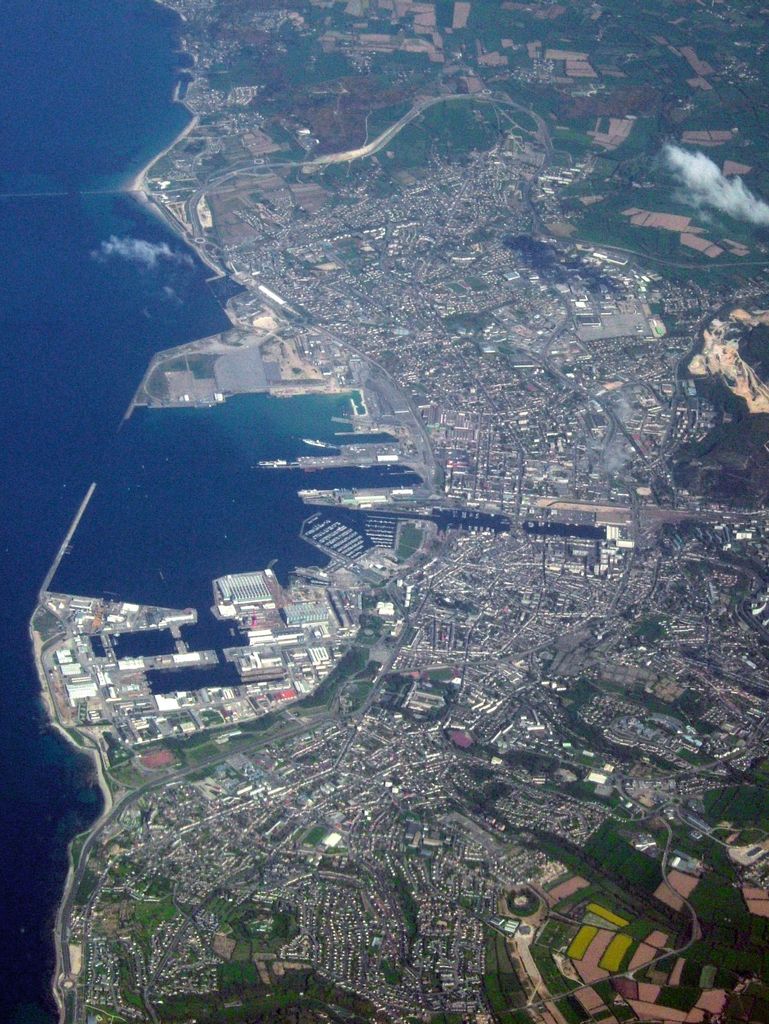
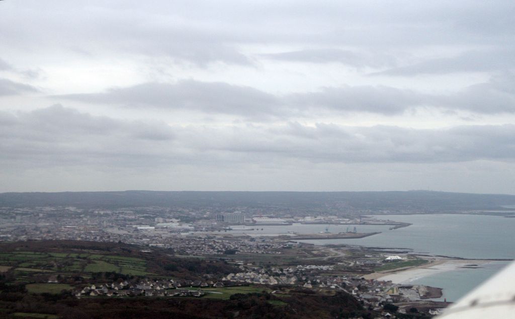
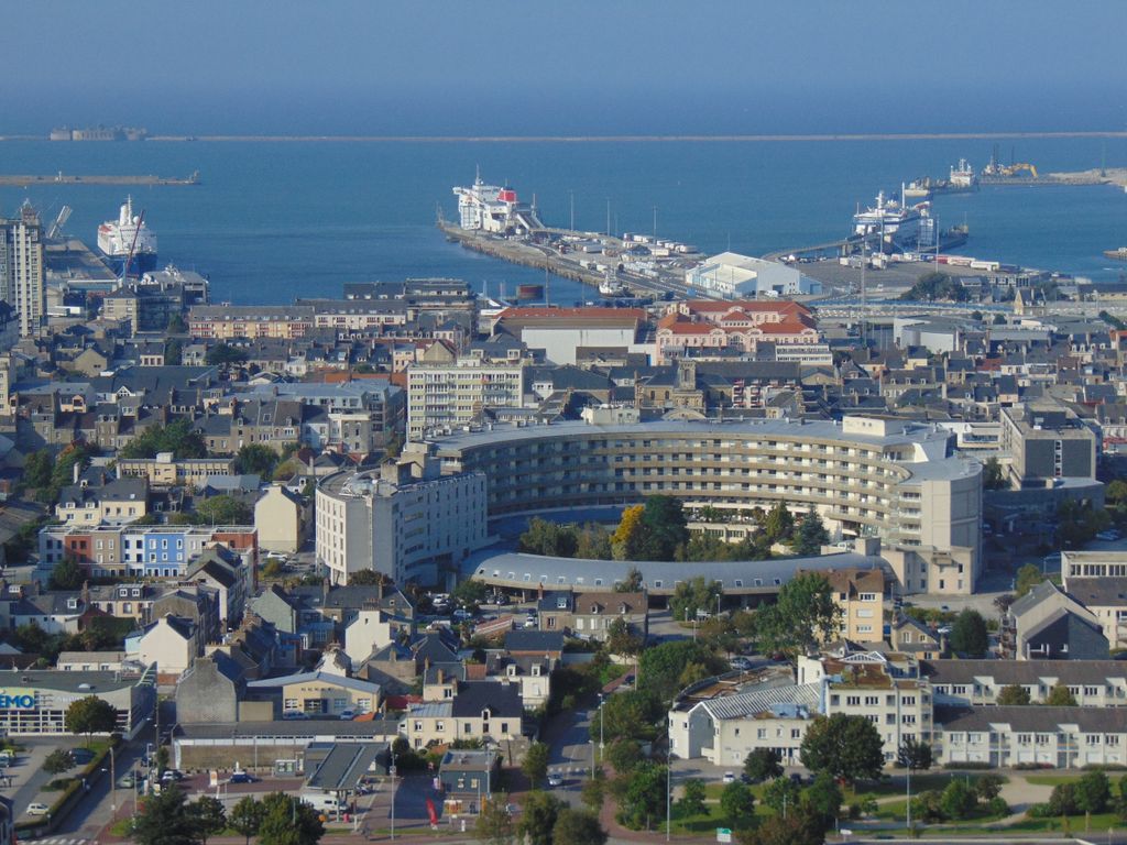
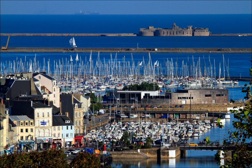
Cherbourg-en-Cotentin (French pronunciation: [ʃɛʁbuʁ ɑ̃ kɔtɑ̃tɛ̃]; Norman: Tchidbouo) is a port city in the department of Manche, Normandy, northwestern France, established on 1 January 2016. The commune takes its name from Cherbourg, the main town of the commune, and the Cotentin Peninsula. Cherbourg is an important commercial, ferry and military port on the English Channel. Cherbourg-en-Cotentin is a Maritime prefecture and sub-prefecture of Manche. Due to its union, it is the most populous commune in its department with 79,144 inhabitants as of 2018 (of which 35,545 in Cherbourg-Octeville), making it the biggest city of the department before the Saint-Lô prefecture and the second in the region after Caen. Its urban unit is composed of three communes (Cherbourg-en-Cotentin, Martinvast and Tollevast), and has 81,963 inhabitants (2018). Its larger functional area (covering 77 communes) has 152,630 inhabitants (2018).
Show more
Sun and Moon
Mon
Tue
Wed
Thu
Fri
Sat
Sun
May 2022
Date and time
00:00
06:00
12:00
18:00
Today
--
--
Sunrise
--
Sunset
--
Moonrise
--
Moonset
Phase
🌔 Waxing Gibbous
The perfect light time for beautiful photos:
--
Sunrise
--
Sunset
PeakVisor app
Get the app on your smartphone
New Panorama Tools
Trace location on the map
Measure distances
All the instruments are available in the context menu as well.
We use GPS information embedded into the photo when it is available.
3D mountains overlay
Adjust mountain panorama to perfectly match your photos because recorded by camera photo position might be imprecise.
Move tool
Rotate tool
Zoom
More customization
Choose which peak labels should make into the final photo and what photo title should be.
Next
Photo Location
Satellitte
Flat map
Relief map
Latitude
Longitude
Altitude
OR
Latitude
°'''
Longitude
°'''
Apply
Register Peak
Peak Name
Latitude
Longitude
Altitude
Register
Teleport
PeakVisor
This 3D model of Sagarmatha National Park in Nepal was made using the PeakVisor app topographic data. The mobile app features higher precision models worldwide, more topographic details, and works offline. Download PeakVisor maps today.
Download OBJ model
PeakVisor
The download should start shortly. If you find it useful please consider supporting the PeakVisor app.
PeakVisor for iOS and Android
Be a superhero of outdoor navigation with state-of-the-art 3D maps and mountain identification in the palm of your hand!