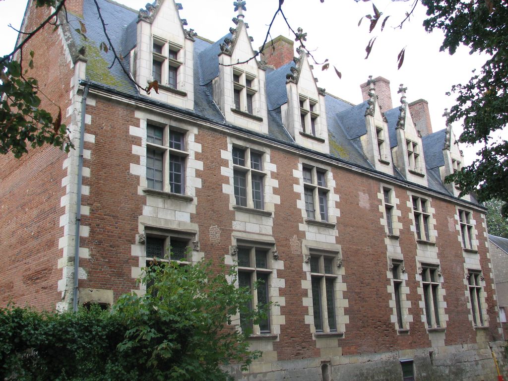
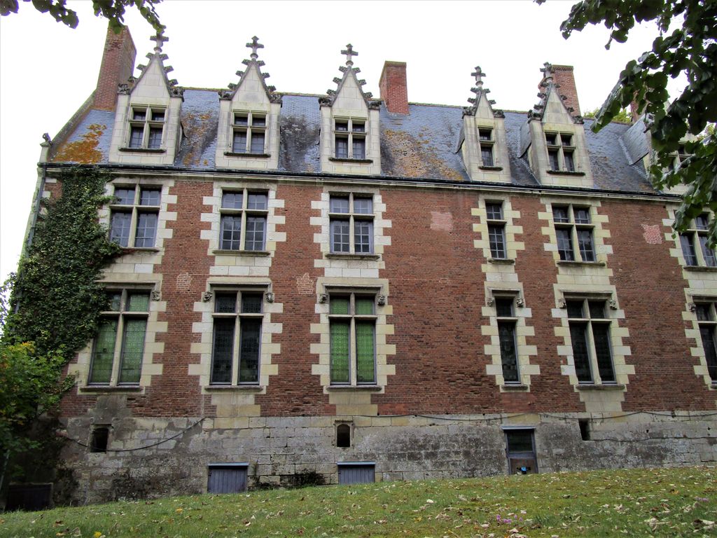
The Royal Château de Plessis-lèz-Tours is the remains of a late Gothic château located in the town of La Riche in the Indre-et-Loire department, in the Loire Valley of France. Around three fourths of the former royal residence were pulled down during the French Revolution in 1796. Plessis-lèz-Tours was the favorite residence of King Louis XI of France, who died there on 30 August 1483. It was also the scene of the 1589 meeting between King Henry III of France and the future King Henry IV of France which resulted in their alliance against the Catholic League. The present building is only a small part of the château originally built by Louis XI in the 15th century. The original château had three wings in the shape of a U. The room where Louis XI died can be visited. It has late 15th-century wooden linenfold panelling. The first floor has paintings and sculpture devoted to St. Francis of Paola, whom Louis XI summoned to live near him until his death. Inside the château is a display of iron cages which were suspended from the ceiling and used to hold prisoners. The cages were so small that the prisoners were unable to stand. The remaining wing, which had long been used as a dairy farm and a buckshot factory, has been listed as a monument historique since 1927 by the French Ministry of Culture.
Show more
Sun and Moon
Mon
Tue
Wed
Thu
Fri
Sat
Sun
May 2022
Date and time
00:00
06:00
12:00
18:00
Today
--
--
Sunrise
--
Sunset
--
Moonrise
--
Moonset
Phase
🌔 Waxing Gibbous
The perfect light time for beautiful photos:
--
Sunrise
--
Sunset
PeakVisor app
Get the app on your smartphone
New Panorama Tools
Trace location on the map
Measure distances
All the instruments are available in the context menu as well.
We use GPS information embedded into the photo when it is available.
3D mountains overlay
Adjust mountain panorama to perfectly match your photos because recorded by camera photo position might be imprecise.
Move tool
Rotate tool
Zoom
More customization
Choose which peak labels should make into the final photo and what photo title should be.
Next
Photo Location
Satellitte
Flat map
Relief map
Latitude
Longitude
Altitude
OR
Latitude
°'''
Longitude
°'''
Apply
Register Peak
Peak Name
Latitude
Longitude
Altitude
Register
Teleport
PeakVisor
This 3D model of Sagarmatha National Park in Nepal was made using the PeakVisor app topographic data. The mobile app features higher precision models worldwide, more topographic details, and works offline. Download PeakVisor maps today.
Download OBJ model
PeakVisor
The download should start shortly. If you find it useful please consider supporting the PeakVisor app.
PeakVisor for iOS and Android
Be a superhero of outdoor navigation with state-of-the-art 3D maps and mountain identification in the palm of your hand!