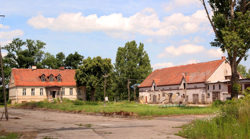
Bożeń [ˈbɔʐɛɲ] is a village in the administrative district of Gmina Wołów, within Wołów County, Lower Silesian Voivodeship, in south-western Poland. It lies approximately 5 kilometres (3 mi) north of Wołów, and 41 kilometres (25 mi) north-west of the regional capital Wrocław. The first mention of the village lies in the bronze age, in the years 900-700 B.C. During the 14th century Bożeń came under Bohemian King John of Luxembourg. Later the place was returned to Poland. Germany used to call place Buschen, but in 1483 documents mention it as Boschenn. There was a mill in the village and residents' free time was spent in an inn. In 1841 an Evangelical school was organised in the village and teachers were recruited. Around 1910 a new school building was built. In 1889, road construction was completed that joined it to Wińsko. In 1925, the population was 236 persons, with 222 Evangelicals and 14 Catholics. In 1939 the population was 210. After World War II, the village was named Bożeń. In the communist period, farms were established that specialised in cattle. That contributed considerably to rural development and 18 apartment blocks were built for persons employed in the agricultural establishment. After 1995, the plant was leased to a private firm dealing with milk and plant production. During the years 1975-1998 the place administratively belonged to the Wroclaw Voivodeship. In the village is the church of St. Mary belonging to the parish in Moczydlnicy. Since 2005, there have been annual festivities organized by the Culture Centre. The village has an approximate population of 500.
Show more
Sun and Moon
Mon
Tue
Wed
Thu
Fri
Sat
Sun
May 2022
Date and time
00:00
06:00
12:00
18:00
Today
--
--
Sunrise
--
Sunset
--
Moonrise
--
Moonset
Phase
🌔 Waxing Gibbous
The perfect light time for beautiful photos:
--
Sunrise
--
Sunset
PeakVisor app
Get the app on your smartphone
Panorama tools
Identify a point and trace it on the map
Measure distances
Sun and Moon: position, rise and set
Time of day: run through 24 hours — sunrise, sunset, starry skyNew
We use GPS information embedded into the photo when it is available.
3D mountains overlay
Adjust mountain panorama to perfectly match your photos because recorded by camera photo position might be imprecise.
Move tool
Rotate tool
Zoom
More customization
Choose which peak labels should make into the final photo and what photo title should be.
Next
Photo Location
Satellitte
Flat map
Relief map
Latitude
Longitude
Altitude
OR
Latitude
°'''
Longitude
°'''
Apply
Register Peak
Peak Name
Latitude
Longitude
Altitude
Register
Teleport
PeakVisor
This 3D model of Sagarmatha National Park in Nepal was made using the PeakVisor app topographic data. The mobile app features higher precision models worldwide, more topographic details, and works offline. Download PeakVisor maps today.
Download OBJ model
PeakVisor
The download should start shortly. If you find it useful please consider supporting the PeakVisor app.
PeakVisor for iOS and Android
Be a superhero of outdoor navigation with state-of-the-art 3D maps and mountain identification in the palm of your hand!